280 Grove St Framingham, MA 01701
Estimated Value: $1,038,000 - $1,322,000
4
Beds
3
Baths
3,221
Sq Ft
$353/Sq Ft
Est. Value
About This Home
This home is located at 280 Grove St, Framingham, MA 01701 and is currently estimated at $1,137,313, approximately $353 per square foot. 280 Grove St is a home located in Middlesex County with nearby schools including Framingham High School, Summit Montessori School, and Saint Bridget School.
Ownership History
Date
Name
Owned For
Owner Type
Purchase Details
Closed on
Dec 1, 2006
Sold by
Mollida Rt and Lotto Glenn C
Bought by
Nelson Alan M and Nelson Deborah L
Current Estimated Value
Home Financials for this Owner
Home Financials are based on the most recent Mortgage that was taken out on this home.
Original Mortgage
$350,000
Outstanding Balance
$209,837
Interest Rate
6.36%
Mortgage Type
Purchase Money Mortgage
Estimated Equity
$927,476
Purchase Details
Closed on
Sep 15, 1992
Sold by
Hilton-Grove Rt
Bought by
Mollida Rt
Create a Home Valuation Report for This Property
The Home Valuation Report is an in-depth analysis detailing your home's value as well as a comparison with similar homes in the area
Home Values in the Area
Average Home Value in this Area
Purchase History
| Date | Buyer | Sale Price | Title Company |
|---|---|---|---|
| Nelson Alan M | $703,650 | -- | |
| Mollida Rt | $217,500 | -- |
Source: Public Records
Mortgage History
| Date | Status | Borrower | Loan Amount |
|---|---|---|---|
| Open | Nelson Alan M | $350,000 | |
| Previous Owner | Mollida Rt | $350,000 |
Source: Public Records
Tax History Compared to Growth
Tax History
| Year | Tax Paid | Tax Assessment Tax Assessment Total Assessment is a certain percentage of the fair market value that is determined by local assessors to be the total taxable value of land and additions on the property. | Land | Improvement |
|---|---|---|---|---|
| 2025 | $12,298 | $1,030,000 | $360,700 | $669,300 |
| 2024 | $11,857 | $951,600 | $320,500 | $631,100 |
| 2023 | $11,517 | $879,800 | $296,600 | $583,200 |
| 2022 | $11,070 | $805,700 | $270,900 | $534,800 |
| 2021 | $11,114 | $791,000 | $260,800 | $530,200 |
| 2020 | $11,281 | $753,100 | $236,600 | $516,500 |
| 2019 | $10,764 | $699,900 | $210,100 | $489,800 |
| 2018 | $10,823 | $663,200 | $206,100 | $457,100 |
| 2017 | $11,049 | $661,200 | $196,400 | $464,800 |
| 2016 | $11,127 | $640,200 | $198,100 | $442,100 |
| 2015 | $10,729 | $602,100 | $198,200 | $403,900 |
Source: Public Records
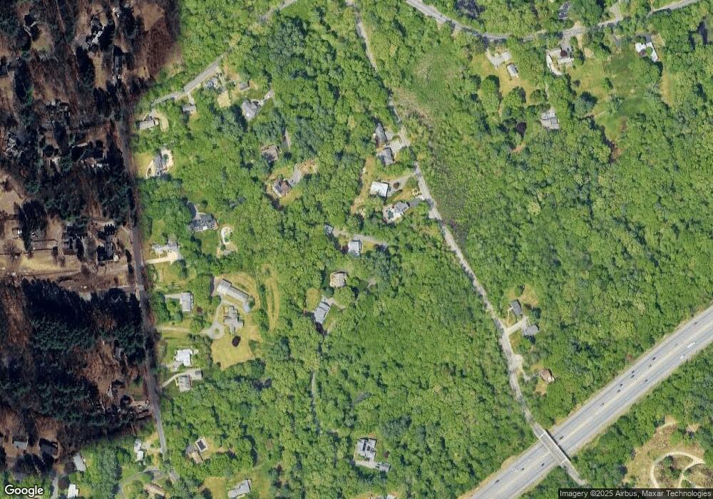
Map
Nearby Homes
- 341 Pleasant St
- 26 Knight Rd
- 337 Edgell Rd
- 401 Belknap Rd
- 15 Clearview Dr
- 484 Edgell Rd
- 477 Edgell Rd
- 30 Elda Rd
- 10 Millwood St
- 1186 Worcester Rd Unit 720
- 576 Grove St
- 1327 Old Worcester Rd
- 33 Ruthellen Rd
- 36 Ruthellen Rd
- 616 Grove St
- 139 Salem End Rd
- 10 Millwood Cir
- 1321 Worcester Rd Unit 603
- 1321 Worcester Rd Unit 109
- 86 Salem End Rd