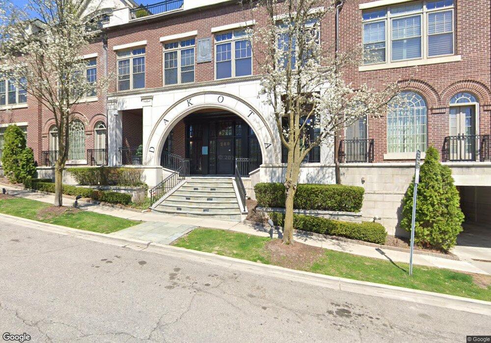
280 Harmon St Birmingham, MI 48009
Estimated Value: $2,110,153 - $2,726,000
3
Beds
4
Baths
4,059
Sq Ft
$614/Sq Ft
Est. Value
About This Home
This home is located at 280 Harmon St, Birmingham, MI 48009 and is currently estimated at $2,493,384, approximately $614 per square foot. 280 Harmon St is a home located in Oakland County with nearby schools including Pierce Elementary School, Derby Middle School, and Ernest W. Seaholm High School.
Ownership History
Date
Name
Owned For
Owner Type
Purchase Details
Closed on
Jun 28, 2021
Sold by
Orlans Linda M and Linda M Orlans Trust
Bought by
Padilla Gerald V
Current Estimated Value
Purchase Details
Closed on
Sep 16, 2020
Sold by
Larson Barbara
Bought by
Orlans Linda M and Linda M Orlans Trust
Purchase Details
Closed on
Oct 15, 2018
Sold by
Larson William and Larson Barbara
Bought by
Larson Barbara
Purchase Details
Closed on
May 8, 2006
Sold by
The Dakota Birmingham Llc
Bought by
Larson William and Larson Barbara
Create a Home Valuation Report for This Property
The Home Valuation Report is an in-depth analysis detailing your home's value as well as a comparison with similar homes in the area
Home Values in the Area
Average Home Value in this Area
Purchase History
| Date | Buyer | Sale Price | Title Company |
|---|---|---|---|
| Padilla Gerald V | -- | None Available | |
| Orlans Linda M | -- | Etitle Agency Inc | |
| Larson Barbara | -- | None Available | |
| Larson William | -- | Lawyers Title Insurance Co |
Source: Public Records
Tax History
| Year | Tax Paid | Tax Assessment Tax Assessment Total Assessment is a certain percentage of the fair market value that is determined by local assessors to be the total taxable value of land and additions on the property. | Land | Improvement |
|---|---|---|---|---|
| 2025 | $47,766 | $1,058,180 | $0 | $0 |
| 2024 | $37,529 | $931,080 | $0 | $0 |
| 2023 | $35,814 | $879,100 | $0 | $0 |
| 2022 | $43,525 | $840,180 | $0 | $0 |
| 2021 | $31,825 | $791,550 | $0 | $0 |
| 2020 | $25,565 | $791,380 | $0 | $0 |
| 2019 | $28,931 | $1,066,240 | $0 | $0 |
| 2018 | $28,709 | $999,810 | $0 | $0 |
| 2017 | $28,660 | $977,370 | $0 | $0 |
| 2016 | $28,712 | $950,440 | $0 | $0 |
| 2015 | -- | $877,990 | $0 | $0 |
| 2014 | -- | $727,880 | $0 | $0 |
| 2011 | -- | $605,600 | $0 | $0 |
Source: Public Records
Map
Nearby Homes
- 551 N Old Woodward Ave Unit 551
- 405 Bonnie Brier St
- 369 N Old Woodward Ave Unit 301
- 369 N Old Woodward Ave Unit 307
- 369 N Old Woodward Ave Unit 206
- 369 N Old Woodward Ave Unit 207
- 601 Dewey St
- 468 Willits St
- 667 Oak Ave
- 670 Oak Ave
- 395 Greenwood St
- 750 Hazelwood St
- 255 Southfield Rd Unit 1
- 592 Lakeside Dr
- 1111 N Old Woodward Ave Unit 4
- 1111 N Old Woodward Ave Unit 23
- 1115 N Old Woodward Ave
- 1115 N Old Woodward Ave Unit 52
- 1115 N Old Woodward Ave Unit 61
- 444 Chester St Unit 420
- 280 Harmon St Unit 280 292
- 280 Harmon St
- 280 Harmon St
- 280 Harmon St
- 280 Harmon St
- 280 Harmon St Unit 292
- 280 Harmon St Unit 1
- 280 Harmon St Unit R, 4
- 280 Harmon St Unit 4
- 280 Harmon St Unit 2R
- 280 Harmon St Unit 290
- 280 Harmon St Unit 300
- 545 N Old Woodward Ave
- 543 N Old Woodward Ave Unit Bldg-Unit
- 585 N Old Woodward Ave
- 577 N Old Woodward Ave Unit J577
- 575 N Old Woodward Ave
- 573 N Old Woodward Ave Unit J573
- 571 N Old Woodward Ave Unit J571
- 547 N Old Woodward Ave Unit 547
Your Personal Tour Guide
Ask me questions while you tour the home.