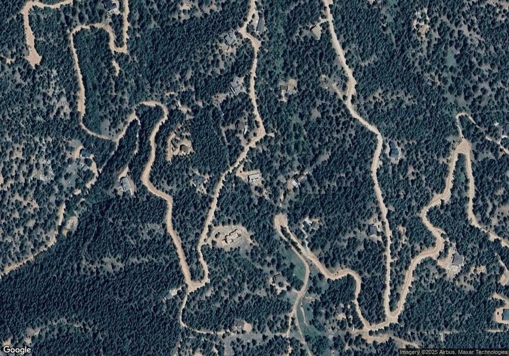
280 Homestead Rd Divide, CO 80814
Estimated Value: $702,767 - $771,000
4
Beds
1
Bath
1,815
Sq Ft
$397/Sq Ft
Est. Value
About This Home
This home is located at 280 Homestead Rd, Divide, CO 80814 and is currently estimated at $720,942, approximately $397 per square foot. 280 Homestead Rd is a home located in Teller County with nearby schools including Woodland Park Junior/Senior High School and Merit Academy.
Ownership History
Date
Name
Owned For
Owner Type
Purchase Details
Closed on
Nov 24, 2021
Sold by
Hull Alan S and Mckay Atencio Iceis
Bought by
Slough Russell L and Tuchek Emily B
Current Estimated Value
Home Financials for this Owner
Home Financials are based on the most recent Mortgage that was taken out on this home.
Original Mortgage
$522,500
Outstanding Balance
$480,176
Interest Rate
3.05%
Mortgage Type
New Conventional
Estimated Equity
$240,766
Purchase Details
Closed on
Aug 18, 2020
Sold by
Devries David F and Devries Charlene B
Bought by
Hull Alan S and Mckay Atencio Icesis
Home Financials for this Owner
Home Financials are based on the most recent Mortgage that was taken out on this home.
Original Mortgage
$408,184
Interest Rate
3%
Purchase Details
Closed on
May 19, 1997
Bought by
Devries David F and Devries Charlene B
Create a Home Valuation Report for This Property
The Home Valuation Report is an in-depth analysis detailing your home's value as well as a comparison with similar homes in the area
Home Values in the Area
Average Home Value in this Area
Purchase History
| Date | Buyer | Sale Price | Title Company |
|---|---|---|---|
| Slough Russell L | $550,000 | Empire Title Colorado Spring | |
| Hull Alan S | $394,000 | Fidelity National Title | |
| Devries David F | $237,500 | -- |
Source: Public Records
Mortgage History
| Date | Status | Borrower | Loan Amount |
|---|---|---|---|
| Open | Slough Russell L | $522,500 | |
| Previous Owner | Hull Alan S | $408,184 |
Source: Public Records
Tax History Compared to Growth
Tax History
| Year | Tax Paid | Tax Assessment Tax Assessment Total Assessment is a certain percentage of the fair market value that is determined by local assessors to be the total taxable value of land and additions on the property. | Land | Improvement |
|---|---|---|---|---|
| 2024 | $2,647 | $42,820 | $3,523 | $39,297 |
| 2023 | $2,647 | $42,820 | $3,520 | $39,300 |
| 2022 | $2,039 | $36,640 | $2,310 | $34,330 |
| 2021 | $2,101 | $37,690 | $2,370 | $35,320 |
| 2020 | $1,443 | $26,450 | $2,330 | $24,120 |
| 2019 | $1,425 | $26,450 | $0 | $0 |
| 2018 | $891 | $16,030 | $0 | $0 |
| 2017 | $893 | $16,030 | $0 | $0 |
| 2016 | $967 | $17,300 | $0 | $0 |
| 2015 | $1,088 | $17,300 | $0 | $0 |
| 2014 | $727 | $11,410 | $0 | $0 |
Source: Public Records
Map
Nearby Homes
- 821 Woodrock Way
- 265 Homestead Rd
- 521 Homestead Rd
- 350 Homestead Rd
- 761 Woodrock Way
- 661 Homestead Rd
- 121 Homestead Rd
- 140 Homestead Rd
- 744 Woodrock Way
- 630 Homestead Rd
- 37 Homestead Rd
- 128 Homestead Rd
- 490 Homestead Rd
- 420 Homestead Rd
- 70 Homestead Rd
- 367 Homestead Rd
- 722 Woodrock Way
- 54 Eagle Dr
- 741 Homestead Rd
- 55 Homestead Rd
