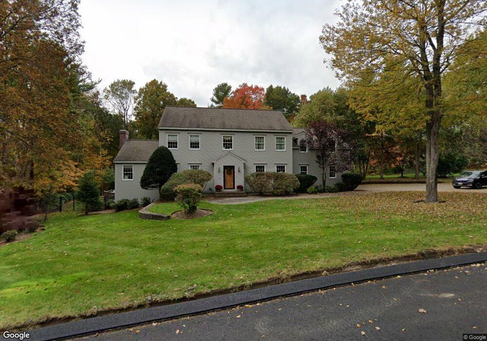
280 Joseph Rd Boxborough, MA 01719
Estimated Value: $994,000 - $1,987,000
4
Beds
3
Baths
3,308
Sq Ft
$403/Sq Ft
Est. Value
About This Home
This home is located at 280 Joseph Rd, Boxborough, MA 01719 and is currently estimated at $1,333,070, approximately $402 per square foot. 280 Joseph Rd is a home located in Middlesex County with nearby schools including Acton-Boxborough Regional High School.
Ownership History
Date
Name
Owned For
Owner Type
Purchase Details
Closed on
Feb 14, 1994
Sold by
Northwest Structures
Bought by
Sisk William P and Sisk Regina A
Current Estimated Value
Home Financials for this Owner
Home Financials are based on the most recent Mortgage that was taken out on this home.
Original Mortgage
$327,000
Interest Rate
7.08%
Mortgage Type
Purchase Money Mortgage
Create a Home Valuation Report for This Property
The Home Valuation Report is an in-depth analysis detailing your home's value as well as a comparison with similar homes in the area
Home Values in the Area
Average Home Value in this Area
Purchase History
| Date | Buyer | Sale Price | Title Company |
|---|---|---|---|
| Sisk William P | $364,850 | -- |
Source: Public Records
Mortgage History
| Date | Status | Borrower | Loan Amount |
|---|---|---|---|
| Open | Sisk William P | $337,500 | |
| Closed | Sisk William P | $327,000 |
Source: Public Records
Tax History
| Year | Tax Paid | Tax Assessment Tax Assessment Total Assessment is a certain percentage of the fair market value that is determined by local assessors to be the total taxable value of land and additions on the property. | Land | Improvement |
|---|---|---|---|---|
| 2025 | $16,256 | $1,073,700 | $302,800 | $770,900 |
| 2024 | $15,023 | $1,002,200 | $291,000 | $711,200 |
| 2023 | $14,451 | $931,100 | $262,200 | $668,900 |
| 2022 | $13,926 | $799,400 | $262,200 | $537,200 |
| 2020 | $12,573 | $752,000 | $262,200 | $489,800 |
| 2019 | $12,348 | $752,000 | $262,200 | $489,800 |
| 2018 | $6,422 | $715,600 | $249,900 | $465,700 |
| 2017 | $11,824 | $703,400 | $249,800 | $453,600 |
| 2016 | $11,216 | $685,600 | $249,800 | $435,800 |
| 2015 | $11,255 | $676,000 | $249,300 | $426,700 |
| 2014 | $11,338 | $640,900 | $246,900 | $394,000 |
Source: Public Records
Map
Nearby Homes
- 79 Old Orchard Ln
- 20 Lyons Ln Unit 20
- 77 Wheeler Dr Unit 77
- 959 Hill Rd
- 4 Littlefield Rd
- 36 Leonard Rd
- 40 Fifers Ln
- 235 Arlington St
- 60 Nashoba Rd
- 50 Spencer Rd Unit 12L
- 15 Spencer Rd Unit 12E
- 92 Willow St Unit 3
- 92 Willow St Unit 2
- 90 Willow St Unit 1
- 5 Perkins Ln
- 220 Swanson Rd Unit 605
- 220 Swanson Rd Unit 606
- 220 Swanson Rd Unit 604
- 20 Joseph Reed Ln
- 280 W Acton Rd
Your Personal Tour Guide
Ask me questions while you tour the home.