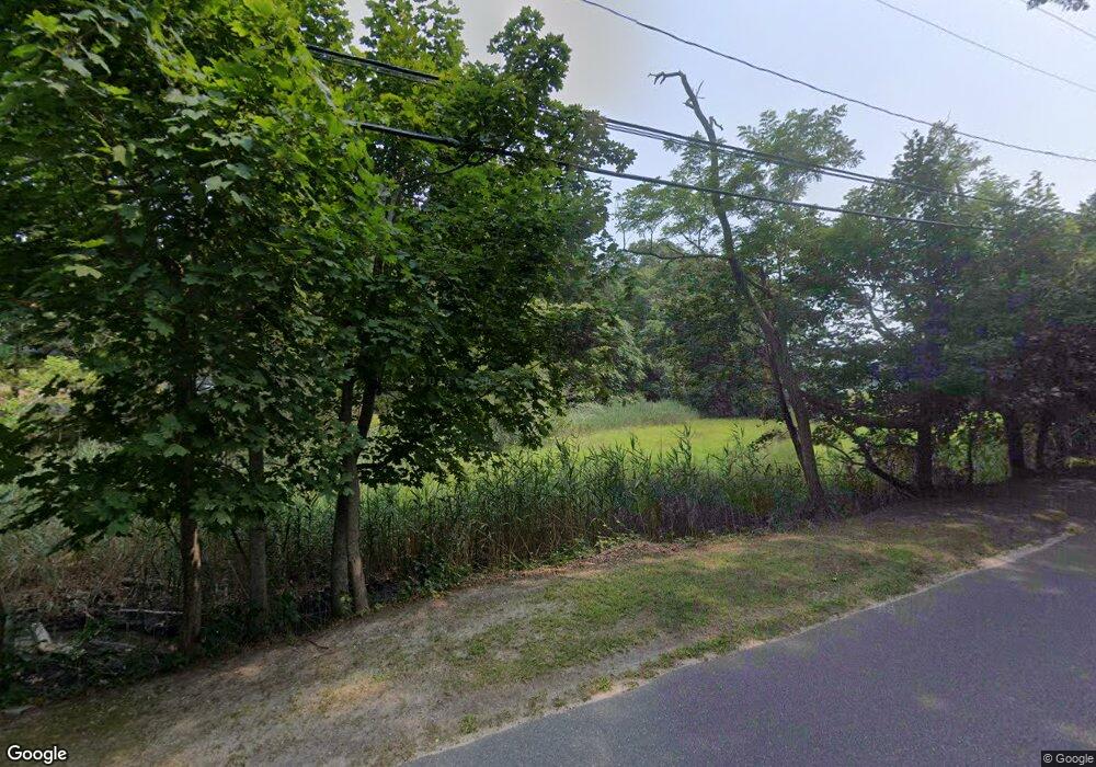
280 Lupton Point Rd Mattituck, NY 11952
Estimated Value: $915,000 - $1,256,000
4
Beds
3
Baths
2,100
Sq Ft
$513/Sq Ft
Est. Value
About This Home
This home is located at 280 Lupton Point Rd, Mattituck, NY 11952 and is currently estimated at $1,076,937, approximately $512 per square foot. 280 Lupton Point Rd is a home located in Suffolk County with nearby schools including Mattituck-Cutchogue Elementary School and Mattituck Junior/Senior High School.
Ownership History
Date
Name
Owned For
Owner Type
Purchase Details
Closed on
Aug 10, 2017
Sold by
Cutler Mary Fitzpatrick and Cutler Karl T
Bought by
Sweeney Michael and Sweeney Elizabeth
Current Estimated Value
Home Financials for this Owner
Home Financials are based on the most recent Mortgage that was taken out on this home.
Original Mortgage
$315,000
Outstanding Balance
$168,875
Interest Rate
4.03%
Mortgage Type
New Conventional
Estimated Equity
$908,062
Create a Home Valuation Report for This Property
The Home Valuation Report is an in-depth analysis detailing your home's value as well as a comparison with similar homes in the area
Home Values in the Area
Average Home Value in this Area
Purchase History
| Date | Buyer | Sale Price | Title Company |
|---|---|---|---|
| Sweeney Michael | $540,000 | None Available |
Source: Public Records
Mortgage History
| Date | Status | Borrower | Loan Amount |
|---|---|---|---|
| Open | Sweeney Michael | $315,000 |
Source: Public Records
Tax History
| Year | Tax Paid | Tax Assessment Tax Assessment Total Assessment is a certain percentage of the fair market value that is determined by local assessors to be the total taxable value of land and additions on the property. | Land | Improvement |
|---|---|---|---|---|
| 2024 | $7,981 | $5,100 | $900 | $4,200 |
| 2023 | $7,981 | $5,100 | $900 | $4,200 |
| 2022 | $7,603 | $5,100 | $900 | $4,200 |
| 2021 | $7,395 | $5,100 | $900 | $4,200 |
| 2020 | $7,907 | $5,100 | $900 | $4,200 |
| 2019 | $7,907 | $0 | $0 | $0 |
| 2018 | $9,220 | $5,950 | $900 | $5,050 |
| 2017 | $7,815 | $5,950 | $900 | $5,050 |
| 2016 | $8,956 | $6,700 | $900 | $5,800 |
| 2015 | -- | $6,700 | $900 | $5,800 |
| 2014 | -- | $6,700 | $900 | $5,800 |
Source: Public Records
Map
Nearby Homes
- 770 Meadow Ln
- 955 Deep Hole Dr
- 2280 Deep Hole Dr
- 2100 Park Ave
- 735 Reeve Ave
- 1120 New Suffolk Ave Unit 1000-114-12-17.1
- 385 New Suffolk Ave
- 280 Wickham Ave
- 13100 Main Rd
- 4415 Camp Mineola Rd
- 35 N Riley Ave
- 2360 Marlene Ln
- 375 Factory Ave
- 160 Oak St
- 725 Youngs Ave
- 780 Westview Dr
- 15 Youngs Ave
- 9450 Old Sound Ave
- 24635 Main Rd
- 2605 Grand Ave
- 280 Luptons Point Rd
- 745 Marratooka Rd
- 435 Luptons Point Rd
- 490 Luptons Point Rd
- 535 Luptons Point Rd
- 1050 Marratooka Rd
- 580 Luptons Point Rd
- 960 Marratooka Rd
- 635 Luptons Point Rd
- 1100 Marratooka Rd
- 755 Luptons Point Rd
- 1335 Marratooka Rd
- 1300 Marratooka Rd
- 750 Luptons Point Rd
- 855 Luptons Point Rd
- 5028 New Suffolk Ave
- 1350 Marratooka Rd
- 850 Luptons Point Rd
- 955 Luptons Point Rd
- 1430 Marratooka Rd
