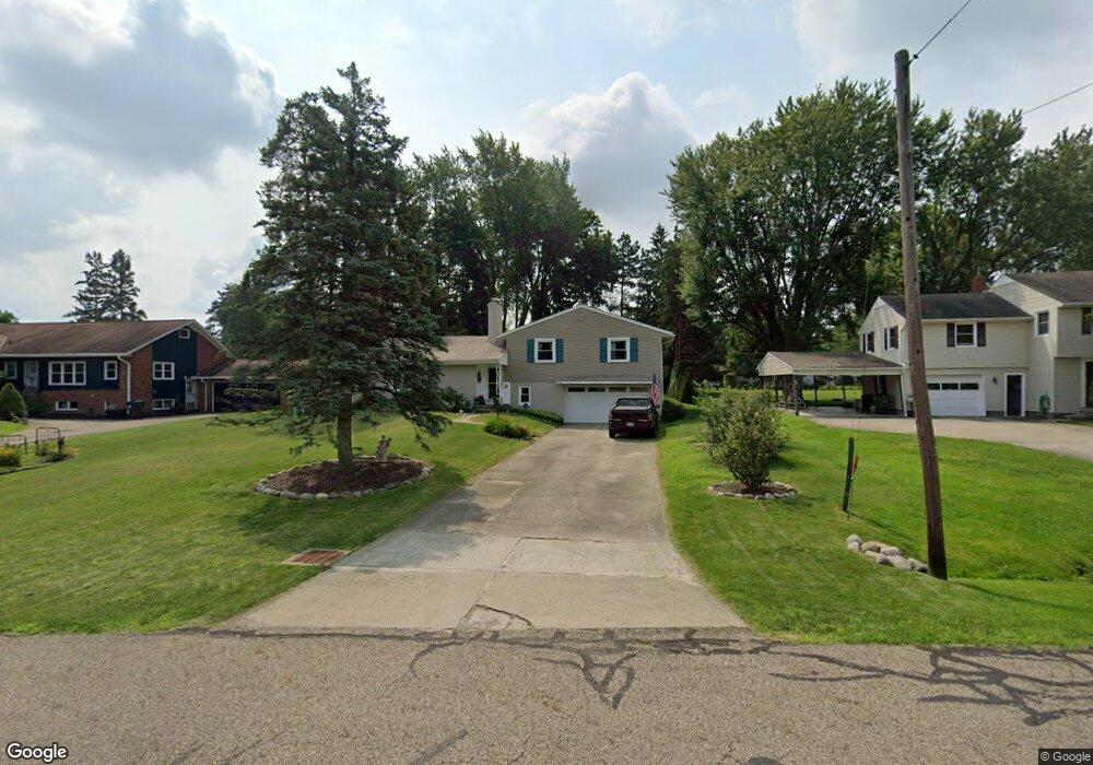
280 Maplewood Dr Alliance, OH 44601
Estimated Value: $214,860 - $267,000
3
Beds
3
Baths
1,644
Sq Ft
$150/Sq Ft
Est. Value
About This Home
This home is located at 280 Maplewood Dr, Alliance, OH 44601 and is currently estimated at $246,965, approximately $150 per square foot. 280 Maplewood Dr is a home located in Stark County with nearby schools including Alliance Elementary School at Rockhill, Alliance Intermediate School at Northside, and Alliance Middle School.
Ownership History
Date
Name
Owned For
Owner Type
Purchase Details
Closed on
Mar 17, 2006
Sold by
Addams Byrde L
Bought by
Eul Michael A and Eul Cheryl L
Current Estimated Value
Home Financials for this Owner
Home Financials are based on the most recent Mortgage that was taken out on this home.
Original Mortgage
$103,200
Interest Rate
6.33%
Mortgage Type
Fannie Mae Freddie Mac
Create a Home Valuation Report for This Property
The Home Valuation Report is an in-depth analysis detailing your home's value as well as a comparison with similar homes in the area
Home Values in the Area
Average Home Value in this Area
Purchase History
| Date | Buyer | Sale Price | Title Company |
|---|---|---|---|
| Eul Michael A | $129,000 | None Available |
Source: Public Records
Mortgage History
| Date | Status | Borrower | Loan Amount |
|---|---|---|---|
| Closed | Eul Michael A | $103,200 |
Source: Public Records
Tax History
| Year | Tax Paid | Tax Assessment Tax Assessment Total Assessment is a certain percentage of the fair market value that is determined by local assessors to be the total taxable value of land and additions on the property. | Land | Improvement |
|---|---|---|---|---|
| 2025 | -- | $74,200 | $9,590 | $64,610 |
| 2024 | -- | $74,200 | $9,590 | $64,610 |
| 2023 | $2,380 | $61,670 | $11,760 | $49,910 |
| 2022 | $2,396 | $61,670 | $11,760 | $49,910 |
| 2021 | $2,398 | $61,670 | $11,760 | $49,910 |
| 2020 | $2,201 | $52,780 | $10,150 | $42,630 |
| 2019 | $2,168 | $52,780 | $10,150 | $42,630 |
Source: Public Records
Map
Nearby Homes
- 2705 Shunk Ave
- 2943 S Union Ave
- 2625 Belleflower Dr
- 3116 Ridgehill Ave
- 856 Birchwood Dr
- 2406 S Union Ave
- 2372 S Union Ave
- 2405 Cherry Ave
- 29 Colony Dr
- 31 Colony Dr
- 152 E Mill St
- 555 E Milton St
- 2464 S Freedom Ave
- 2580 Edgewood Ave
- 3709 S Union Ave
- 3615 Mountview Ave
- 3018 Blenheim Ave
- 2630 Blenheim Ave
- 864 W College Rd
- 853 Fairway Dr
- 258 Maplewood Dr
- 275 Linwood Dr
- 315 Linwood Dr
- 340 Maplewood Dr
- 247 Linwood Dr
- 234 Maplewood Dr
- 337 Linwood Dr
- 279 Maplewood Dr
- 271 Maplewood Dr
- 315 Maplewood Dr
- 253 Maplewood Dr
- 351 Linwood Dr
- 325 Maplewood Dr
- 225 Linwood Dr
- 225 Linwood Dr
- 336 Maplewood Dr
- 336 Maplewood Dr
- 304 Linwood Dr
- 302 Linwood Dr
- 363 Linwood Dr
Your Personal Tour Guide
Ask me questions while you tour the home.