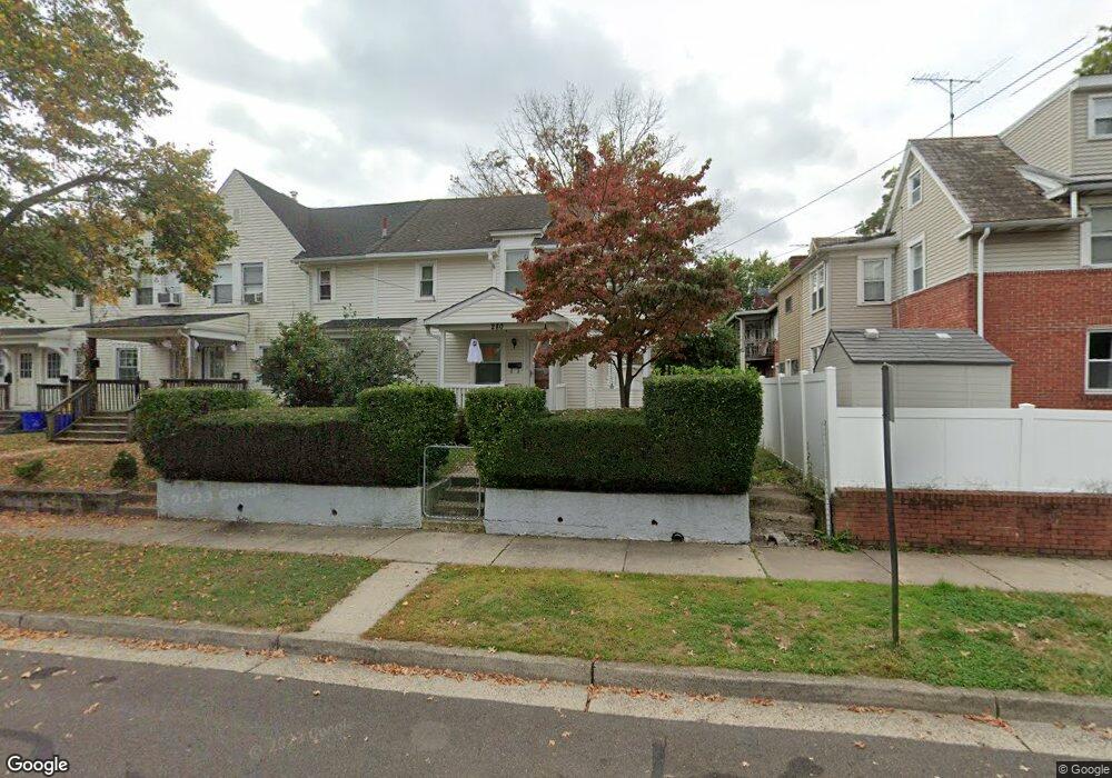
280 Mckinley St Bristol, PA 19007
Estimated Value: $326,000 - $437,000
3
Beds
2
Baths
2,046
Sq Ft
$180/Sq Ft
Est. Value
About This Home
This home is located at 280 Mckinley St, Bristol, PA 19007 and is currently estimated at $368,205, approximately $179 per square foot. 280 Mckinley St is a home located in Bucks County with nearby schools including Snyder-Girotti Elementary School, Bristol High School, and First Presbyterian Church School.
Ownership History
Date
Name
Owned For
Owner Type
Purchase Details
Closed on
Jan 27, 1995
Sold by
Carbone Frank A and Carbone Anna Marie
Bought by
Serrano Kenneth William and Serrano Veronica A
Current Estimated Value
Home Financials for this Owner
Home Financials are based on the most recent Mortgage that was taken out on this home.
Original Mortgage
$81,950
Interest Rate
8.78%
Mortgage Type
FHA
Purchase Details
Closed on
Jun 27, 1950
Bought by
Carbone Frank and Carbone Anna
Create a Home Valuation Report for This Property
The Home Valuation Report is an in-depth analysis detailing your home's value as well as a comparison with similar homes in the area
Home Values in the Area
Average Home Value in this Area
Purchase History
| Date | Buyer | Sale Price | Title Company |
|---|---|---|---|
| Serrano Kenneth William | $82,000 | -- | |
| Carbone Frank | -- | -- |
Source: Public Records
Mortgage History
| Date | Status | Borrower | Loan Amount |
|---|---|---|---|
| Previous Owner | Serrano Kenneth William | $81,950 |
Source: Public Records
Tax History Compared to Growth
Tax History
| Year | Tax Paid | Tax Assessment Tax Assessment Total Assessment is a certain percentage of the fair market value that is determined by local assessors to be the total taxable value of land and additions on the property. | Land | Improvement |
|---|---|---|---|---|
| 2025 | $4,943 | $21,230 | $4,600 | $16,630 |
| 2024 | $4,943 | $21,230 | $4,600 | $16,630 |
| 2023 | $4,901 | $21,230 | $4,600 | $16,630 |
| 2022 | $4,901 | $21,230 | $4,600 | $16,630 |
| 2021 | $4,901 | $21,230 | $4,600 | $16,630 |
| 2020 | $5,039 | $21,230 | $4,600 | $16,630 |
| 2019 | $5,017 | $21,230 | $4,600 | $16,630 |
| 2018 | $5,017 | $21,230 | $4,600 | $16,630 |
| 2017 | $4,991 | $21,230 | $4,600 | $16,630 |
| 2016 | $4,991 | $21,230 | $4,600 | $16,630 |
| 2015 | -- | $21,230 | $4,600 | $16,630 |
| 2014 | -- | $21,230 | $4,600 | $16,630 |
Source: Public Records
Map
Nearby Homes
- 221 Cleveland St
- 321 Taft St
- 314 Railroad Ave
- 61 Green Ln
- 2285 Seabird Dr Unit 14
- 243 Monroe St
- 2296 Seabird Dr Unit 1
- 16434 River View Cir
- 16442 River View Cir
- 16422 River View Cir
- 16352 River View Cir
- 1211 Seabird Dr Unit 40
- 16453 River View Cir
- 16221 River View Cir
- 16231 River View Cir
- 16333 River View Cir
- 16223 River View Cir
- 16242 River View Cir
- 16344 River View Cir
- 16342 River View Cir
- 2126 Wilson Ave
- 272 Mckinley St
- 274 Mckinley St
- 2118 Wilson Ave
- 2124 Wilson Ave
- 2132 Wilson Ave
- 2116 Wilson Ave
- 2110 Wilson Ave
- 266 Mckinley St
- 277 Cleveland St
- 2108 Wilson Ave
- 2202 Wilson Ave
- 2128 Wilson Ave
- 271 Cleveland St Unit 1ST FL
- 271 Cleveland St
- 264 Mckinley St
- 258 Mckinley St
- 2102 Wilson Ave
- 267 Cleveland St
- 256 Mckinley St