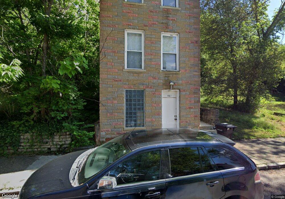
280 Mohawk St Cincinnati, OH 45214
Over-The-Rhine NeighborhoodEstimated Value: $142,482 - $356,000
2
Beds
1
Bath
1,216
Sq Ft
$177/Sq Ft
Est. Value
About This Home
This home is located at 280 Mohawk St, Cincinnati, OH 45214 and is currently estimated at $214,871, approximately $176 per square foot. 280 Mohawk St is a home located in Hamilton County with nearby schools including Rothenberg Preparatory Academy, Robert A. Taft Information Technology High School, and Gilbert A. Dater High School.
Ownership History
Date
Name
Owned For
Owner Type
Purchase Details
Closed on
May 12, 2008
Sold by
Wesbanco Bank Inc
Bought by
Wright Harold D
Current Estimated Value
Purchase Details
Closed on
Jul 26, 2007
Sold by
Roth Daniel J
Bought by
Wesbanco Bank Inc
Purchase Details
Closed on
Dec 3, 2002
Sold by
Roth Daniel J
Bought by
Greater Cincinnati Properties Llc
Purchase Details
Closed on
Oct 24, 1997
Sold by
Owens Tom
Bought by
Roth Daniel J
Purchase Details
Closed on
Jun 12, 1997
Sold by
Rhodes Dusty
Bought by
Owens Tom
Create a Home Valuation Report for This Property
The Home Valuation Report is an in-depth analysis detailing your home's value as well as a comparison with similar homes in the area
Home Values in the Area
Average Home Value in this Area
Purchase History
| Date | Buyer | Sale Price | Title Company |
|---|---|---|---|
| Wright Harold D | -- | Attorney | |
| Wesbanco Bank Inc | $10,000 | None Available | |
| Greater Cincinnati Properties Llc | -- | -- | |
| Roth Daniel J | $1,000 | -- | |
| Owens Tom | $120 | -- |
Source: Public Records
Tax History
| Year | Tax Paid | Tax Assessment Tax Assessment Total Assessment is a certain percentage of the fair market value that is determined by local assessors to be the total taxable value of land and additions on the property. | Land | Improvement |
|---|---|---|---|---|
| 2025 | $2,203 | $34,608 | $5,390 | $29,218 |
| 2024 | $2,200 | $34,608 | $5,390 | $29,218 |
| 2023 | $2,204 | $34,608 | $5,390 | $29,218 |
| 2022 | $1,179 | $16,573 | $4,312 | $12,261 |
| 2021 | $1,155 | $16,573 | $4,312 | $12,261 |
| 2020 | $1,159 | $16,573 | $4,312 | $12,261 |
| 2019 | $952 | $12,373 | $2,156 | $10,217 |
| 2018 | $953 | $12,373 | $2,156 | $10,217 |
| 2017 | $918 | $12,373 | $2,156 | $10,217 |
| 2016 | $795 | $10,448 | $2,587 | $7,861 |
| 2015 | $711 | $10,448 | $2,587 | $7,861 |
| 2014 | $715 | $10,448 | $2,587 | $7,861 |
| 2013 | $719 | $10,346 | $2,562 | $7,784 |
Source: Public Records
Map
Nearby Homes
- 279 Renner St
- 320 Mohawk St
- 305 Klotter Ave
- 407 Mohawk St
- 2171 Sohn St
- 2123 Renner Place
- 266 Klotter Ave
- 2125 Renner Place
- 306 Klotter Ave
- 310 Klotter Ave
- 411 W McMicken Ave
- 1913 Central Ave
- 2128 Ravine St
- 421 W McMicken Ave
- 209 Hastings St
- 422 Dayton St
- 444 Dayton St
- 456 W McMicken Ave
- 454 Klotter Ave
- 2240 Ravine St
Your Personal Tour Guide
Ask me questions while you tour the home.