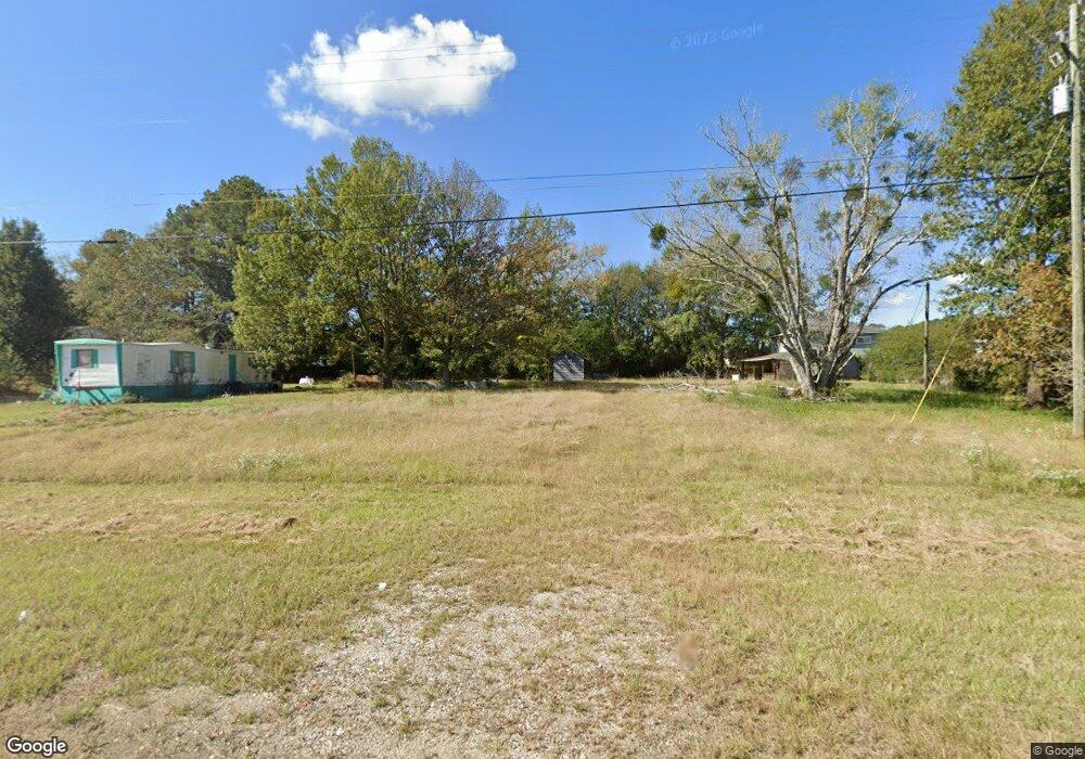
280 New Airport Rd Lagrange, GA 30240
Estimated Value: $110,879 - $217,000
2
Beds
1
Bath
1,542
Sq Ft
$94/Sq Ft
Est. Value
About This Home
This home is located at 280 New Airport Rd, Lagrange, GA 30240 and is currently estimated at $144,220, approximately $93 per square foot. 280 New Airport Rd is a home located in Troup County with nearby schools including Ethel W. Kight Elementary School, Hollis Hand Elementary School, and Franklin Forest Elementary School.
Ownership History
Date
Name
Owned For
Owner Type
Purchase Details
Closed on
May 24, 2013
Sold by
Crews Juanita D
Bought by
Front Door Investments Llc
Current Estimated Value
Purchase Details
Closed on
Jan 1, 1962
Bought by
Crews James E
Create a Home Valuation Report for This Property
The Home Valuation Report is an in-depth analysis detailing your home's value as well as a comparison with similar homes in the area
Home Values in the Area
Average Home Value in this Area
Purchase History
| Date | Buyer | Sale Price | Title Company |
|---|---|---|---|
| Front Door Investments Llc | $523,000 | -- | |
| Crews James E | -- | -- |
Source: Public Records
Tax History Compared to Growth
Tax History
| Year | Tax Paid | Tax Assessment Tax Assessment Total Assessment is a certain percentage of the fair market value that is determined by local assessors to be the total taxable value of land and additions on the property. | Land | Improvement |
|---|---|---|---|---|
| 2024 | $693 | $25,404 | $8,880 | $16,524 |
| 2023 | $658 | $24,140 | $8,880 | $15,260 |
| 2022 | $637 | $22,820 | $8,880 | $13,940 |
| 2021 | $507 | $16,804 | $8,880 | $7,924 |
| 2020 | $507 | $16,804 | $8,880 | $7,924 |
| 2019 | $385 | $12,772 | $7,120 | $5,652 |
| 2018 | $385 | $12,772 | $7,120 | $5,652 |
| 2017 | $385 | $12,772 | $7,120 | $5,652 |
| 2016 | $319 | $10,566 | $6,675 | $3,890 |
Source: Public Records
Map
Nearby Homes
- 167 S Kight Dr
- 141 Avery Dr
- 0 Unit 10514554
- 101 Crown St Unit LOT 5
- 205 Grady St
- The Rhodes Plan at Crown Street Cottages
- The Truitt Plan at Crown Street Cottages
- The Callaway Plan at Crown Street Cottages
- 102 Crown St Unit LOT 1
- 802 Monroe St
- 119 Jones St
- 0 Bradfield Dr Unit 10568803
- 608 Wilburn Ave
- 610 Wilburn Ave
- 212 Aster Way
- 107 Clark St
- 37 Overbrook Dr
- 202 Parker Ln
- 109 Garfield St
- 102 Parker St
- 302 New Airport Rd
- 0 New Airport Rd Unit 7448048
- 0 New Airport Rd Unit 7327139
- 0 New Airport Rd Unit 7330303
- 0 New Airport Rd Unit 3202694
- 0 New Airport Rd Unit 8643329
- 0 New Airport Rd Unit 8454810
- 0 New Airport Rd Unit 8731644
- 0 New Airport Rd Unit 8900420
- 0 New Airport Rd Unit 8946209
- 0 New Airport Rd Unit 8865091
- 106 Westside Dr
- 315 New Airport Rd
- 1848 Lukken Industrial Dr W
- 110 Westside Dr
- 1850 Lukken Industrial Dr W
- 112 Westside Dr
- 130 Old Airport Rd
- 0 Westside Ct Unit 3136121
- 0 Westside Ct Unit 3076742