280 New Zion Rd SW Calhoun, GA 30701
Estimated Value: $318,000 - $399,902
--
Bed
2
Baths
1,391
Sq Ft
$254/Sq Ft
Est. Value
About This Home
This home is located at 280 New Zion Rd SW, Calhoun, GA 30701 and is currently estimated at $353,301, approximately $253 per square foot. 280 New Zion Rd SW is a home located in Gordon County with nearby schools including Calhoun Primary School, Calhoun Elementary School, and Calhoun Middle School.
Ownership History
Date
Name
Owned For
Owner Type
Purchase Details
Closed on
Mar 16, 2016
Sold by
Jones Gabe
Bought by
Jones Kenneth R
Current Estimated Value
Purchase Details
Closed on
Nov 20, 2006
Sold by
Jones Kenneth
Bought by
Jones Gabe
Purchase Details
Closed on
Apr 2, 2004
Sold by
Burch Ernest E
Bought by
Jones Kenneth R
Purchase Details
Closed on
Nov 17, 1987
Sold by
Grogan Rupert Hugh
Bought by
Burch Ernest E
Create a Home Valuation Report for This Property
The Home Valuation Report is an in-depth analysis detailing your home's value as well as a comparison with similar homes in the area
Home Values in the Area
Average Home Value in this Area
Purchase History
| Date | Buyer | Sale Price | Title Company |
|---|---|---|---|
| Jones Kenneth R | -- | -- | |
| Jones Gabe | -- | -- | |
| Jones Kenneth R | $86,000 | -- | |
| Burch Ernest E | $36,800 | -- |
Source: Public Records
Tax History Compared to Growth
Tax History
| Year | Tax Paid | Tax Assessment Tax Assessment Total Assessment is a certain percentage of the fair market value that is determined by local assessors to be the total taxable value of land and additions on the property. | Land | Improvement |
|---|---|---|---|---|
| 2024 | $1,144 | $134,412 | $36,040 | $98,372 |
| 2023 | $1,006 | $129,216 | $36,040 | $93,176 |
| 2022 | $929 | $124,340 | $36,040 | $88,300 |
| 2021 | $817 | $112,792 | $36,040 | $76,752 |
| 2020 | $832 | $113,836 | $36,040 | $77,796 |
| 2019 | $833 | $113,836 | $36,040 | $77,796 |
| 2018 | $1,751 | $113,664 | $36,040 | $77,624 |
| 2017 | $1,657 | $114,880 | $42,400 | $72,480 |
| 2016 | $2,223 | $114,920 | $42,440 | $72,480 |
| 2015 | $2,195 | $113,560 | $42,440 | $71,120 |
| 2014 | $2,040 | $110,437 | $42,475 | $67,962 |
Source: Public Records
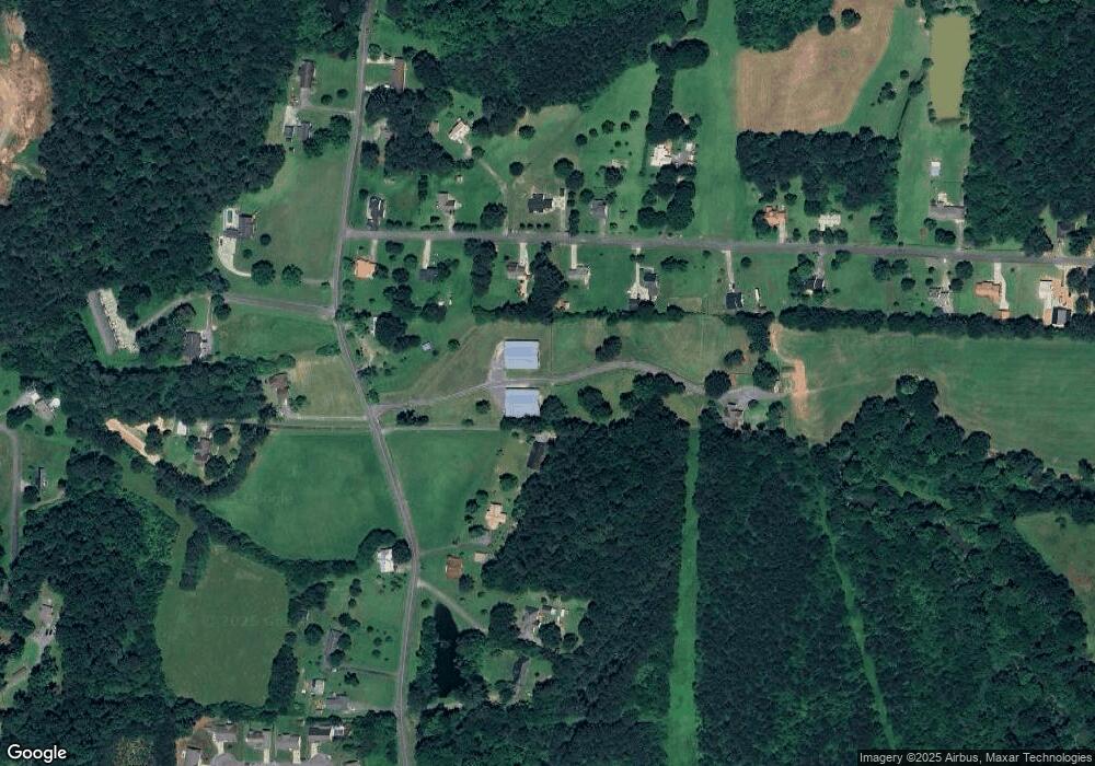
Map
Nearby Homes
- 210 Madison Dr SW
- 215 Wilson St
- 413 Beamer Rd SW
- 227 Mcconnell Rd
- 100 Neal St
- 404 Mcginnis Cir
- 153 Riverview Dr
- 137 Regency Row SW
- 130 Brookstone Dr SW
- 207 N River St
- The Braselton II Plan at Fair Oak
- The Reynolds Plan at Fair Oak
- The Buford II Plan at Fair Oak
- The Lawson Plan at Fair Oak
- The Caldwell Plan at Fair Oak
- The Benson II Plan at Fair Oak
- The Greenbrier II Plan at Fair Oak
- 176 Village Way SW
- 85 Professional Place Unit 14
- 213 Cedar Hill Dr SW
- 226 Cedar Hill Dr SW
- 191 Cedar Hill Dr SW
- 0 Cedar Hill Dr SW
- 228 Cedar Hill Dr SW
- 242 Cedar Hill Dr SW
- 275 Cedar Hill Dr SW
- 169 Cedar Hill Dr SW
- 291 Cedar Hill Dr SW
- 274 Cedar Hill Dr SW
- 292 New Zion Rd SW
- 174 Cedar Hill Dr SW
- 192 Cedar Hill Dr SW
- 149 Cedar Hill Dr SW
- 311 Cedar Hill Dr SW
- 156 Cedar Hill Dr SW
- 320 New Zion Rd SW
- 316 Cedar Hill Dr SW
- 370 New Zion Rd SW
- 123 Cedar Hill Dr SW