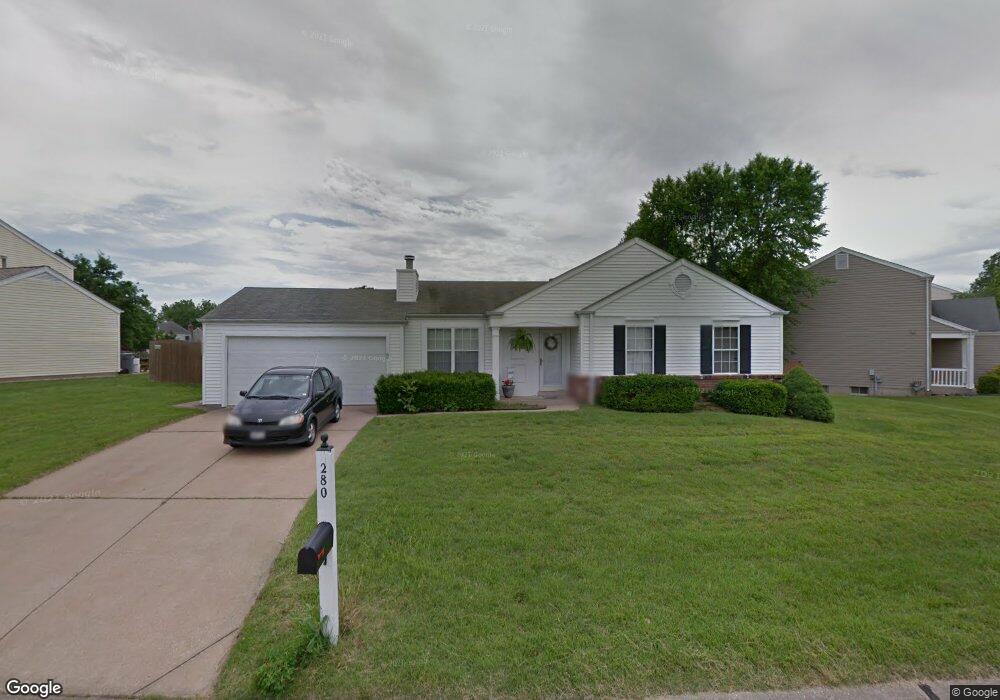
280 Pheasant Point Blvd O Fallon, MO 63368
O'Fallon AreaEstimated Value: $280,000 - $318,000
About This Home
This home is located at 280 Pheasant Point Blvd, O Fallon, MO 63368 and is currently estimated at $302,601, approximately $264 per square foot. 280 Pheasant Point Blvd is a home located in St. Charles County with nearby schools including Pheasant Point Elementary School, Fort Zumwalt West Middle School, and Fort Zumwalt West High School.
Ownership History
We collect this data history from publicly available records. To have your information removed, we recommend requesting removal directly through your county’s website.
Purchase Details
Home Financials for this Owner
Home Financials are based on the most recent Mortgage that was taken out on this home.Home Values in the Area
Average Home Value in this Area
Purchase History
We collect this data history from publicly available records. To have your information removed, we recommend requesting removal directly through your county’s website.
| Date | Buyer | Sale Price | Title Company |
|---|---|---|---|
| $145,900 | -- |
Mortgage History
We collect this data history from publicly available records. To have your information removed, we recommend requesting removal directly through your county’s website.
| Date | Status | Borrower | Loan Amount |
|---|---|---|---|
| Open | $116,700 |
Tax History
We collect this data history from publicly available records. To have your information removed, we recommend requesting removal directly through your county’s website.
| Year | Tax Paid | Tax Assessment Tax Assessment Total Assessment is a certain percentage of the fair market value that is determined by local assessors to be the total taxable value of land and additions on the property. | Land | Improvement |
|---|---|---|---|---|
| 2025 | $2,984 | $46,276 | ||
| 2023 | $2,902 | $43,691 | ||
| 2022 | $2,410 | $33,668 | $0 | $0 |
| 2021 | $2,411 | $33,668 | $0 | $0 |
| 2020 | $2,127 | $28,778 | $0 | $0 |
| 2019 | $2,132 | $28,778 | $0 | $0 |
| 2018 | $2,031 | $26,164 | $0 | $0 |
| 2017 | $1,997 | $26,164 | $0 | $0 |
| 2016 | $1,832 | $23,891 | $0 | $0 |
| 2015 | $1,703 | $23,891 | $0 | $0 |
| 2014 | $1,743 | $24,055 | $0 | $0 |
Map
- 149 Lamplighter Way
- 229 Coachman Way
- 2215 Wild Pigeon Dr
- 2202 Wild Pigeon Dr
- 215 Waterford Crossing Dr
- 6432 Sprucefield Dr
- 2358 Hidden Deer Dr
- 8 Jacqueline Cir
- 2327 Hidden Deer Dr
- 6960 Brassel Dr
- 1153 Spring Orchard Dr
- 6402 High Meadow Dr
- 1321 Avondale Spring Dr
- 118 Fallon Villa Ct
- 114 Fallon Villa Ct
- 110 Fallon Villa Ct
- 2114 Farnsworth Dr Unit B
- 18 Farnsworth Ct Unit C
- 2614 Samuel Dr Unit 711C
- 2776 Samuel Dr Unit 746A
- 313 Pheasant Point Blvd
- 321 Pheasant Point Blvd
- 307 Pheasant Point Blvd
- 436 Tailor Ln
- 438 Tailor Ln
- 434 Tailor Ln
- 329 Pheasant Point Blvd
- 310 Pheasant Point Blvd
- 440 Tailor Ln
- 320 Pheasant Point Blvd
- 432 Tailor Ln
- 330 Pheasant Point Blvd
- 337 Pheasant Point Blvd
- 442 Tailor Ln
- 430 Tailor Ln
- 253 Coachman Way
- 435 Tailor Ln
- 437 Tailor Ln
- 340 Pheasant Point Blvd
- 433 Tailor Ln
Ask me questions while you tour the home.