280 Possum Point Dr Eatonton, GA 31024
Estimated Value: $472,803 - $515,000
3
Beds
3
Baths
1,734
Sq Ft
$284/Sq Ft
Est. Value
About This Home
This home is located at 280 Possum Point Dr, Eatonton, GA 31024 and is currently estimated at $492,951, approximately $284 per square foot. 280 Possum Point Dr is a home located in Putnam County with nearby schools including Putnam County Primary School, Putnam County Elementary School, and Putnam County Middle School.
Ownership History
Date
Name
Owned For
Owner Type
Purchase Details
Closed on
Feb 1, 2017
Sold by
Hulsey Joe M
Bought by
Hulsey Joe Maxwell
Current Estimated Value
Purchase Details
Closed on
Nov 22, 2006
Sold by
Not Provided
Bought by
Hulsey Joe Maxwell
Purchase Details
Closed on
Oct 8, 2003
Sold by
Hulsey Joe M
Bought by
Hulsey Nell C
Purchase Details
Closed on
Sep 2, 1993
Sold by
Heard Paige Kimberly
Bought by
Hulsey Joe M
Purchase Details
Closed on
Dec 11, 1990
Bought by
Heard Paige Kimberly
Create a Home Valuation Report for This Property
The Home Valuation Report is an in-depth analysis detailing your home's value as well as a comparison with similar homes in the area
Home Values in the Area
Average Home Value in this Area
Purchase History
| Date | Buyer | Sale Price | Title Company |
|---|---|---|---|
| Hulsey Joe Maxwell | -- | -- | |
| Hulsey Joe Maxwell | -- | -- | |
| Hulsey Nell C | -- | -- | |
| Hulsey Joe M | $123,000 | -- | |
| Heard Paige Kimberly | -- | -- |
Source: Public Records
Tax History Compared to Growth
Tax History
| Year | Tax Paid | Tax Assessment Tax Assessment Total Assessment is a certain percentage of the fair market value that is determined by local assessors to be the total taxable value of land and additions on the property. | Land | Improvement |
|---|---|---|---|---|
| 2024 | $2,867 | $150,308 | $72,000 | $78,308 |
| 2023 | $2,589 | $142,735 | $72,000 | $70,735 |
| 2022 | $2,317 | $115,389 | $50,400 | $64,989 |
| 2021 | $1,962 | $96,129 | $45,000 | $51,129 |
| 2020 | $2,397 | $110,057 | $50,000 | $60,057 |
| 2019 | $2,674 | $95,208 | $50,000 | $45,208 |
| 2016 | $1,743 | $95,208 | $50,000 | $45,208 |
Source: Public Records
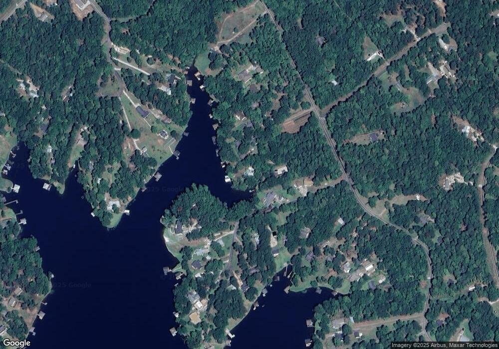
Map
Nearby Homes
- 114 Robin Ct
- 103 Fawn Ct
- 388 Possum Point Dr
- 106 Whipporwill Ct
- 128 Turtle Ct
- 154 Possum Point Dr
- 114 Oak Leaf Cir
- 106 Birch Cove
- 166 Oak Leaf Cir
- 168 Oak Leaf Cir
- 105 Flatrock Cir
- 000 Pine Knoll Ln
- 0 Pine Knoll Ln Unit 10595913
- 0 Possum Point Dr Unit 48055
- 130 Flatrock Rd
- l Brer Rabbit Trail
- 384 Scuffleboro Rd
- 379 Scuffleboro Rd
- 194 Deerfield Ln
- 180 Emory Dr SE
- 276 Possum Point Dr
- 108 Robin Ct
- 274 Possum Point Dr
- 282 Possum Point Dr
- 110 Robin Ct
- 104 Robin Ct
- 109 Robin Ct
- 109 Robin Ct Unit 29
- 113 Robin Ct
- 272 Possum Point Dr
- 112 Robin Ct Unit LTS 15 PT 16
- 112 Robin Ct
- 107 Robin Ct Unit 30
- 107 Robin Ct
- 111 Robin Ct
- 270 Possum Point Dr
- 116 Robin Ct Unit 18
- 116 Robin Ct
- 115 Robin Ct
- 264 Possum Point Dr