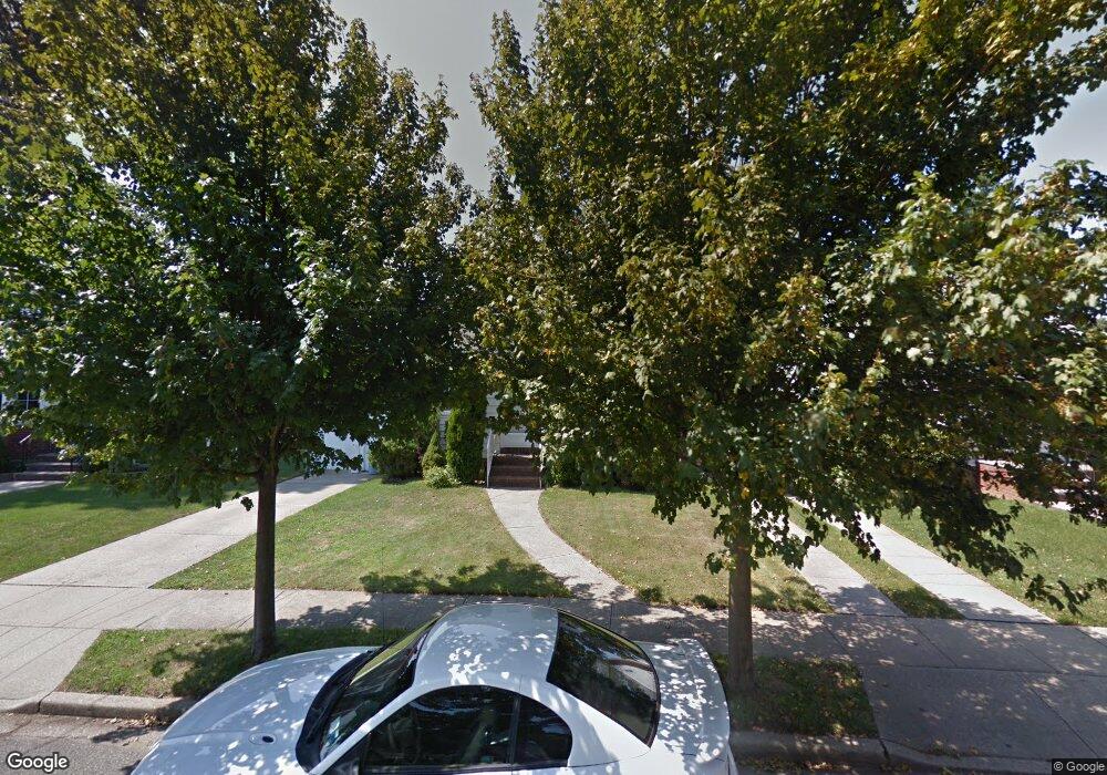
280 Rintin St Franklin Square, NY 11010
Estimated Value: $634,000 - $646,223
2
Beds
1
Bath
960
Sq Ft
$667/Sq Ft
Est. Value
About This Home
This home is located at 280 Rintin St, Franklin Square, NY 11010 and is currently estimated at $640,112, approximately $666 per square foot. 280 Rintin St is a home located in Nassau County.
Ownership History
Date
Name
Owned For
Owner Type
Purchase Details
Closed on
Sep 13, 2021
Sold by
Hill Robert S and Hill Lisa A
Bought by
Minenno Thomas and Minenno Vito
Current Estimated Value
Home Financials for this Owner
Home Financials are based on the most recent Mortgage that was taken out on this home.
Original Mortgage
$376,000
Outstanding Balance
$341,385
Interest Rate
2.8%
Mortgage Type
New Conventional
Estimated Equity
$298,727
Create a Home Valuation Report for This Property
The Home Valuation Report is an in-depth analysis detailing your home's value as well as a comparison with similar homes in the area
Home Values in the Area
Average Home Value in this Area
Purchase History
| Date | Buyer | Sale Price | Title Company |
|---|---|---|---|
| Minenno Thomas | $470,000 | Security Title | |
| Minenno Thomas | $470,000 | Security Title | |
| Minenno Thomas | $470,000 | Security Title |
Source: Public Records
Mortgage History
| Date | Status | Borrower | Loan Amount |
|---|---|---|---|
| Open | Minenno Thomas | $376,000 | |
| Closed | Minenno Thomas | $376,000 |
Source: Public Records
Tax History
| Year | Tax Paid | Tax Assessment Tax Assessment Total Assessment is a certain percentage of the fair market value that is determined by local assessors to be the total taxable value of land and additions on the property. | Land | Improvement |
|---|---|---|---|---|
| 2025 | $8,289 | $377 | $202 | $175 |
| 2024 | $3,312 | $376 | $201 | $175 |
Source: Public Records
Map
Nearby Homes
- 276 Rintin St
- 286 Rintin St
- 272 Rintin St
- 275 Commonwealth St
- 279 Commonwealth St
- 292 Rintin St
- 271 Commonwealth St
- 287 Commonwealth St
- 266 Rintin St
- 281 Rintin St
- 277 Rintin St
- 285 Rintin St
- 265 Commonwealth St
- 271 Rintin St
- 295 Commonwealth St
- 300 Rintin St
- 293 Rintin St
- 265 Rintin St
- 301 Commonwealth St
- 264 Rintin St
Your Personal Tour Guide
Ask me questions while you tour the home.