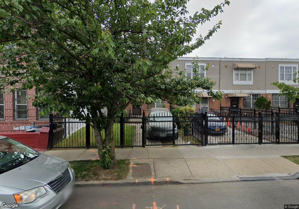
280 Snediker Ave Brooklyn, NY 11207
Brownsville NeighborhoodEstimated Value: $608,806 - $680,000
--
Bed
--
Bath
1,260
Sq Ft
$511/Sq Ft
Est. Value
About This Home
This home is located at 280 Snediker Ave, Brooklyn, NY 11207 and is currently estimated at $643,952, approximately $511 per square foot. 280 Snediker Ave is a home located in Kings County with nearby schools including P.S. 328 - Phyllis Wheatley, J.H.S 292 Margaret S. Douglas, and Brownsville Collegiate Charter School.
Ownership History
Date
Name
Owned For
Owner Type
Purchase Details
Closed on
Jun 2, 1999
Sold by
Nehemiah Housing Development Fund Co Inc
Bought by
Jones Lynette Brenda
Current Estimated Value
Home Financials for this Owner
Home Financials are based on the most recent Mortgage that was taken out on this home.
Original Mortgage
$20,000
Interest Rate
7.65%
Create a Home Valuation Report for This Property
The Home Valuation Report is an in-depth analysis detailing your home's value as well as a comparison with similar homes in the area
Home Values in the Area
Average Home Value in this Area
Purchase History
| Date | Buyer | Sale Price | Title Company |
|---|---|---|---|
| Jones Lynette Brenda | $100,500 | First American Title Ins Co |
Source: Public Records
Mortgage History
| Date | Status | Borrower | Loan Amount |
|---|---|---|---|
| Previous Owner | Jones Lynette Brenda | $20,000 | |
| Closed | Jones Lynette Brenda | $75,000 |
Source: Public Records
Tax History Compared to Growth
Tax History
| Year | Tax Paid | Tax Assessment Tax Assessment Total Assessment is a certain percentage of the fair market value that is determined by local assessors to be the total taxable value of land and additions on the property. | Land | Improvement |
|---|---|---|---|---|
| 2025 | $4,967 | $33,720 | $14,880 | $18,840 |
| 2024 | $4,967 | $39,540 | $14,880 | $24,660 |
| 2023 | $4,722 | $34,920 | $14,880 | $20,040 |
| 2022 | $4,356 | $31,080 | $14,880 | $16,200 |
| 2021 | $4,598 | $30,180 | $14,880 | $15,300 |
| 2020 | $3,449 | $25,200 | $14,880 | $10,320 |
| 2019 | $4,262 | $25,200 | $14,880 | $10,320 |
| 2018 | $3,638 | $20,542 | $8,198 | $12,344 |
| 2017 | $3,148 | $19,380 | $7,036 | $12,344 |
| 2016 | $2,839 | $19,486 | $7,036 | $12,450 |
| 2015 | $940 | $18,385 | $5,935 | $12,450 |
| 2014 | $940 | $18,385 | $5,935 | $12,450 |
Source: Public Records
Map
Nearby Homes
- 297 Hinsdale St
- 440 Blake Ave
- 406 Hinsdale St
- 105 Belmont Ave
- 101 Belmont Ave
- 637 Blake Ave
- 353 Pennsylvania Ave
- 317 Pennsylvania Ave
- 297 Pennsylvania Ave
- 1782 Pitkin Ave
- 444 New Jersey Ave
- 34&36 Marginal St
- 663 Sutter Ave
- 667 Sutter Ave
- 117 Osborn St
- 45 Hinsdale St
- 486 Vermont St
- 439 Vermont St
- 477 Vermont St
- 342 Wyona St
- 278 Snediker Ave
- 284 Snediker Ave
- 276 Snediker Ave
- 286 Snediker Ave
- 274 Snediker Ave
- 288 Snediker Ave
- 288 Snediker Ave Unit 2
- 288 Snediker Ave Unit 1
- 272 Snediker Ave
- 272 Snediker Ave Unit 2
- 292 Snediker Ave
- 482 Sutter Ave
- 480 Sutter Ave
- 294 Snediker Ave
- 359 van Sinderen Ave
- 476 Sutter Ave
- 476 Sutter Ave
- 476 Sutter St
- 300 Snediker Ave
- 361-371 van Sinderen Ave