280 SW 4th Place Pilot Rock, OR 97868
Estimated Value: $157,000 - $196,000
2
Beds
1
Bath
1,024
Sq Ft
$179/Sq Ft
Est. Value
About This Home
This home is located at 280 SW 4th Place, Pilot Rock, OR 97868 and is currently estimated at $182,801, approximately $178 per square foot. 280 SW 4th Place is a home with nearby schools including Pilot Rock Elementary School and Pilot Rock High School.
Ownership History
Date
Name
Owned For
Owner Type
Purchase Details
Closed on
Dec 27, 2021
Sold by
Wickert David and Estate Of George O Stoolfire
Bought by
Hascall Neva L and Neva L Hascall Revocable Trust
Current Estimated Value
Purchase Details
Closed on
Apr 13, 2012
Sold by
Hascall Eunice L
Bought by
Hascall Lon
Purchase Details
Closed on
Dec 7, 2011
Sold by
Hascall Eunice L
Bought by
Hascall Lon
Purchase Details
Closed on
Dec 1, 2011
Sold by
Hascall Eunice L
Bought by
Hascall Eunice L and Eunice L Hascall Revocable Living Trust
Create a Home Valuation Report for This Property
The Home Valuation Report is an in-depth analysis detailing your home's value as well as a comparison with similar homes in the area
Home Values in the Area
Average Home Value in this Area
Purchase History
| Date | Buyer | Sale Price | Title Company |
|---|---|---|---|
| Hascall Neva L | $52,910 | Pioneer Title Co | |
| Hascall Lon | -- | None Available | |
| Hascall Lon | -- | None Available | |
| Hascall Eunice L | -- | None Available |
Source: Public Records
Tax History Compared to Growth
Tax History
| Year | Tax Paid | Tax Assessment Tax Assessment Total Assessment is a certain percentage of the fair market value that is determined by local assessors to be the total taxable value of land and additions on the property. | Land | Improvement |
|---|---|---|---|---|
| 2024 | $998 | $57,800 | $27,470 | $30,330 |
| 2023 | $977 | $56,120 | $26,670 | $29,450 |
| 2022 | $928 | $54,490 | $0 | $0 |
| 2021 | $931 | $52,910 | $25,140 | $27,770 |
| 2020 | $848 | $51,370 | $24,410 | $26,960 |
| 2018 | $702 | $45,300 | $23,000 | $22,300 |
| 2017 | $704 | $45,340 | $24,020 | $21,320 |
| 2016 | $753 | $48,430 | $23,000 | $25,430 |
| 2015 | $749 | $37,880 | $17,790 | $20,090 |
| 2014 | $684 | $37,880 | $17,790 | $20,090 |
Source: Public Records
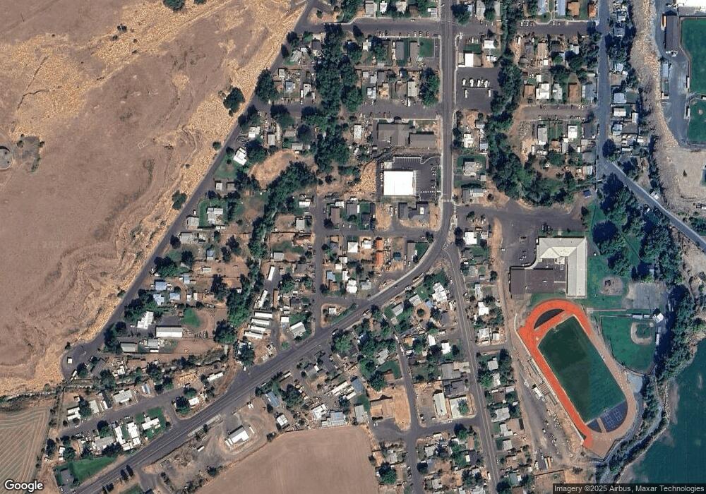
Map
Nearby Homes
- 261 SW 2nd St
- 520 NE 4th St
- 706 NE Gumwood St
- 44743 McKay Creek Rd
- 70349 Lakeside Rd
- 63615 E Birch Creek Ed
- 000 Motanic Rd
- 0000 County 1031 Rd
- 71539 SW Bridle Dr
- 72062 Westfield Blvd
- 904 SW 43rd St
- 4207 SW Sheridan Ave
- 0 Mckay Dr
- 1437 SW 40th St
- 1901 SW Runnion Ln
- 1437 SW 37th St Unit 43
- 1914 SW 2nd Dr
- 1328 SW 44th St
- 0 SW 2nd St Unit 263926795
- 0 SW Quinney Ln Unit 24414661
- 448 SW Cedar St
- 242 SW 4th St
- 253 SW 4th St
- 219 SW 5th St
- 273 SW 4th St
- 426 SW Cedar St
- 235 SW 5th St
- 328 SW Cedar St
- 275 SW 5th St
- 461 SW Birch Place
- 457 SW Cedar St
- 67024 U S 395
- 437 SW Cedar St
- 439 SW Birch Place
- 589 SW Cedar St
- 489 SW Cedar St
- 460 SW Birch Place
- 519 SW Cedar St
- 297 SW Cedar St
- 510 SW Birch Place