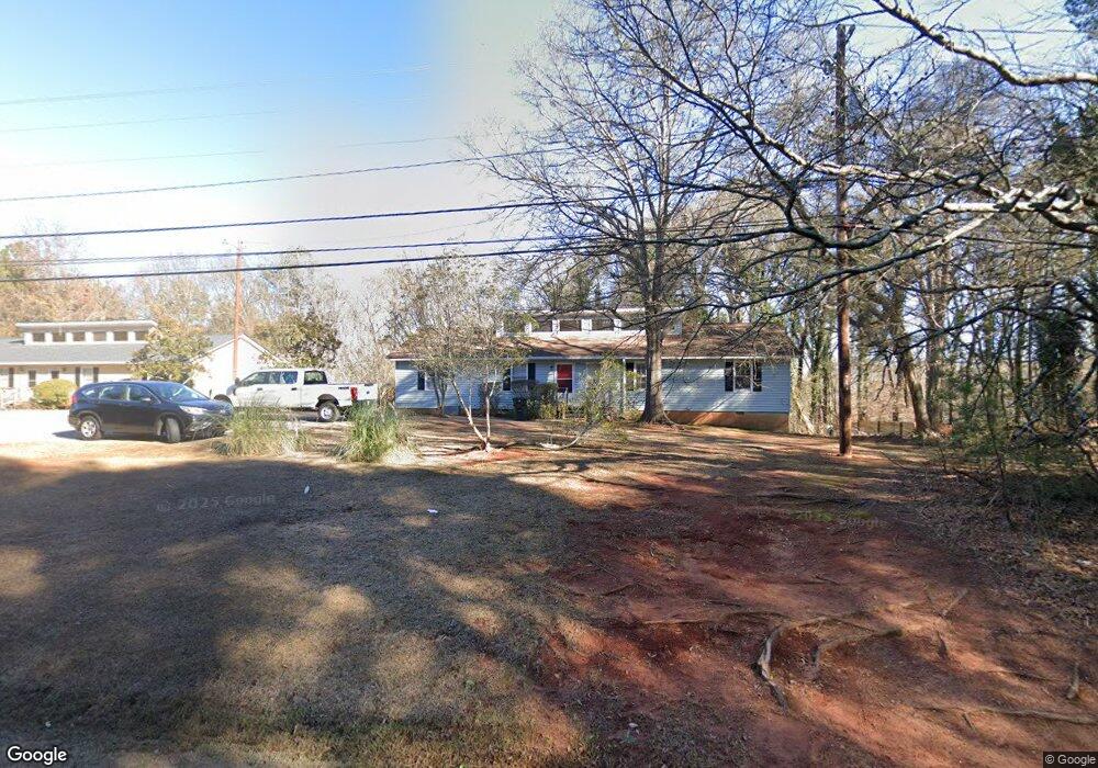
280 Timothy Rd Unit 282 Athens, GA 30606
Berkley Hills NeighborhoodEstimated Value: $301,000 - $649,000
--
Bed
2
Baths
1,848
Sq Ft
$212/Sq Ft
Est. Value
About This Home
This home is located at 280 Timothy Rd Unit 282, Athens, GA 30606 and is currently estimated at $391,435, approximately $211 per square foot. 280 Timothy Rd Unit 282 is a home located in Clarke County with nearby schools including Timothy Elementary School, Clarke Middle School, and Clarke Central High School.
Ownership History
Date
Name
Owned For
Owner Type
Purchase Details
Closed on
Nov 15, 2012
Sold by
Frey Vernon Robert
Bought by
P44 Properties Llc
Current Estimated Value
Purchase Details
Closed on
May 27, 1994
Sold by
Jensen Gilbert W and Jensen Eileene R
Bought by
Frey Vernon Robert and Bettie Lucile
Create a Home Valuation Report for This Property
The Home Valuation Report is an in-depth analysis detailing your home's value as well as a comparison with similar homes in the area
Home Values in the Area
Average Home Value in this Area
Purchase History
| Date | Buyer | Sale Price | Title Company |
|---|---|---|---|
| P44 Properties Llc | $150,000 | -- | |
| P44 Properties Llc | -- | -- | |
| Frey Vernon Robert | -- | -- |
Source: Public Records
Mortgage History
| Date | Status | Borrower | Loan Amount |
|---|---|---|---|
| Closed | P44 Properties Llc | $0 |
Source: Public Records
Tax History Compared to Growth
Tax History
| Year | Tax Paid | Tax Assessment Tax Assessment Total Assessment is a certain percentage of the fair market value that is determined by local assessors to be the total taxable value of land and additions on the property. | Land | Improvement |
|---|---|---|---|---|
| 2025 | $3,184 | $102,548 | $12,000 | $90,548 |
| 2024 | $3,184 | $95,888 | $12,000 | $83,888 |
| 2023 | $2,997 | $72,547 | $12,000 | $60,547 |
| 2022 | $1,889 | $59,207 | $10,400 | $48,807 |
| 2021 | $1,592 | $47,245 | $10,400 | $36,845 |
| 2020 | $1,497 | $44,424 | $10,400 | $34,024 |
| 2019 | $1,448 | $42,643 | $8,000 | $34,643 |
| 2018 | $1,224 | $36,065 | $8,000 | $28,065 |
| 2017 | $1,126 | $33,174 | $8,000 | $25,174 |
| 2016 | $1,039 | $30,595 | $8,000 | $22,595 |
| 2015 | $1,058 | $31,128 | $8,000 | $23,128 |
| 2014 | $1,064 | $31,244 | $8,000 | $23,244 |
Source: Public Records
Map
Nearby Homes
- 145 Holmes Ave
- 262 Rhodes Dr
- 277 Highpointe Ln
- 299 Kennington Dr
- 250 Highpointe Ln
- 105 Greystone Terrace
- 3119 Spartan Estates Dr
- 780 Macon Hwy
- 105 Princeton Mill Rd
- 201 Hamilton Rd Unit 7
- 201 Hamilton Rd
- 190 Bowles Dr Unit 1
- 190 Bowles Dr
- 8580 Macon Hwy
- 1125 Macon Hwy
- 185 Eaglewood Way
- 205 Heritage Stroll
- 2880 Spartan Estates Dr
- 280 Timothy Rd
- 270 Timothy Rd
- 290 Timothy Rd Unit 292
- 290 Timothy Rd
- 292 Timothy Rd
- 260 Timothy Rd
- 117 Tilson Rd
- 125 Tilson Rd
- 113 Tilson Rd
- 310 Timothy Rd
- 135 Tilson Rd
- 105 Timothy Rd
- 322 Timothy Rd
- 320 Timothy Rd
- 300 Timothy Rd
- 118 Tilson Rd
- 112 Tilson Rd
- 124 Tilson Rd
- 136 Tilson Rd
- 332 Timothy Rd