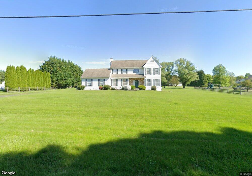
280 W Branch Rd Oxford, PA 19363
Estimated Value: $545,152 - $584,000
4
Beds
3
Baths
2,512
Sq Ft
$225/Sq Ft
Est. Value
About This Home
This home is located at 280 W Branch Rd, Oxford, PA 19363 and is currently estimated at $565,288, approximately $225 per square foot. 280 W Branch Rd is a home located in Chester County with nearby schools including Elk Ridge School, Jordan Bank Elementary School, and Nottingham School.
Ownership History
Date
Name
Owned For
Owner Type
Purchase Details
Closed on
Jun 18, 2002
Sold by
Mcdonald Run Homes Inc
Bought by
Lester Greg and Lester Laura
Current Estimated Value
Home Financials for this Owner
Home Financials are based on the most recent Mortgage that was taken out on this home.
Original Mortgage
$186,200
Outstanding Balance
$79,341
Interest Rate
6.92%
Estimated Equity
$485,947
Create a Home Valuation Report for This Property
The Home Valuation Report is an in-depth analysis detailing your home's value as well as a comparison with similar homes in the area
Home Values in the Area
Average Home Value in this Area
Purchase History
| Date | Buyer | Sale Price | Title Company |
|---|---|---|---|
| Lester Greg | $232,767 | -- |
Source: Public Records
Mortgage History
| Date | Status | Borrower | Loan Amount |
|---|---|---|---|
| Open | Lester Greg | $186,200 |
Source: Public Records
Tax History Compared to Growth
Tax History
| Year | Tax Paid | Tax Assessment Tax Assessment Total Assessment is a certain percentage of the fair market value that is determined by local assessors to be the total taxable value of land and additions on the property. | Land | Improvement |
|---|---|---|---|---|
| 2025 | $8,462 | $207,090 | $26,570 | $180,520 |
| 2024 | $8,462 | $207,090 | $26,570 | $180,520 |
| 2023 | $8,168 | $207,090 | $26,570 | $180,520 |
| 2022 | $7,902 | $207,090 | $26,570 | $180,520 |
| 2021 | $7,623 | $207,090 | $26,570 | $180,520 |
| 2020 | $7,472 | $207,090 | $26,570 | $180,520 |
| 2019 | $7,407 | $207,090 | $26,570 | $180,520 |
| 2018 | $7,407 | $207,090 | $26,570 | $180,520 |
| 2017 | $7,343 | $207,090 | $26,570 | $180,520 |
| 2016 | $6,668 | $207,090 | $26,570 | $180,520 |
| 2015 | $6,668 | $207,090 | $26,570 | $180,520 |
| 2014 | $6,668 | $207,090 | $26,570 | $180,520 |
Source: Public Records
Map
Nearby Homes
- 180 College Cir
- 1748 Baltimore Pike
- 108 E Ruddy Duck Cir
- 106 1st Ave
- 0 Greenwood Drive #A (Juniper)
- Greenwood Drive #F (Norway)
- Greenwood Drive #B (Hemlock)
- 127 Lavender Ct
- 113 Elkview Rd
- 213 Hinson Drive Lot 88 (Juniper)
- 205 Hinson Drive Lot 86 (Juniper) Qd
- 209 Hinson Drive Lot #87 Qd (Douglas)
- 104 Flintwood Dr
- 219 Greenwood Dr
- 242 Greenwood Dr
- 000 Greenwood Drive D (Balsam)
- 324 Greenwood Dr
- 000 Greenwood Dr Unit D (FRASER)
- 246 Joseph Rd
- 213 Joseph Rd
- 274 W Branch Rd
- 286 W Branch Rd
- 130 McDonald Way
- 138 McDonald Way
- 283 W Branch Rd
- 108 McDonald Way
- 120 McDonald Way
- 268 W Branch Rd
- 146 McDonald Way
- 301 W Branch Rd
- 145 Bedford Way
- 135 McDonald Way
- 133 Bedford Way
- 380 Duck Farm Rd
- 141 McDonald Way
- 129 McDonald Way
- 119 Bedford Way
- 105 McDonald Way
- 123 McDonald Way
- 147 McDonald Way