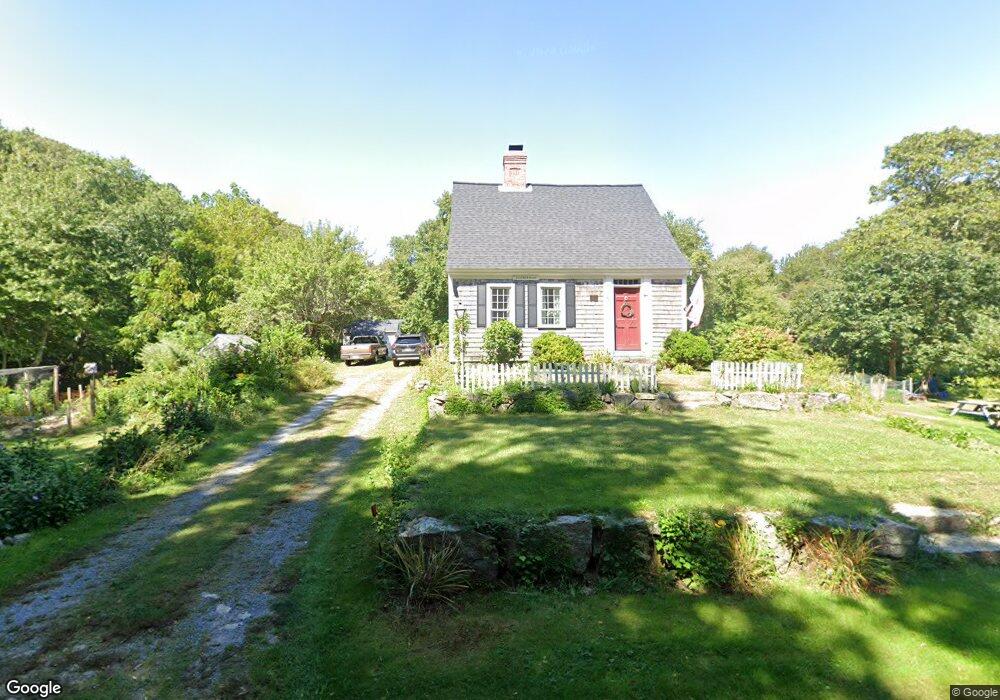
280 Weir Rd Yarmouth Port, MA 02675
Yarmouth Port NeighborhoodEstimated Value: $695,000 - $1,156,000
3
Beds
1
Bath
1,501
Sq Ft
$552/Sq Ft
Est. Value
About This Home
This home is located at 280 Weir Rd, Yarmouth Port, MA 02675 and is currently estimated at $828,708, approximately $552 per square foot. 280 Weir Rd is a home located in Barnstable County with nearby schools including Dennis-Yarmouth Regional High School and St. Pius X. School.
Ownership History
Date
Name
Owned For
Owner Type
Purchase Details
Closed on
Mar 24, 2014
Sold by
Raynard Bruce and Raynard Faye
Bought by
Raynard Rt and Raynard Bruce W
Current Estimated Value
Purchase Details
Closed on
Sep 8, 2000
Sold by
Hatziiliades Maximos
Bought by
Raynard Bruce and Raynard Faye
Purchase Details
Closed on
Nov 27, 1996
Sold by
Bray Farm Rt and Drwila Robert E
Bought by
Solidor Interntl Llc
Purchase Details
Closed on
Jun 18, 1996
Sold by
Drwila Emile R and Kenndy-Murphy Kerry
Bought by
Moricz Frank
Create a Home Valuation Report for This Property
The Home Valuation Report is an in-depth analysis detailing your home's value as well as a comparison with similar homes in the area
Home Values in the Area
Average Home Value in this Area
Purchase History
| Date | Buyer | Sale Price | Title Company |
|---|---|---|---|
| Raynard Rt | -- | -- | |
| Raynard Bruce | $215,000 | -- | |
| Solidor Interntl Llc | $84,000 | -- | |
| Moricz Frank | $104,768 | -- |
Source: Public Records
Mortgage History
| Date | Status | Borrower | Loan Amount |
|---|---|---|---|
| Previous Owner | Moricz Frank | $20,000 | |
| Previous Owner | Moricz Frank | $52,500 | |
| Previous Owner | Moricz Frank | $320,000 |
Source: Public Records
Tax History Compared to Growth
Tax History
| Year | Tax Paid | Tax Assessment Tax Assessment Total Assessment is a certain percentage of the fair market value that is determined by local assessors to be the total taxable value of land and additions on the property. | Land | Improvement |
|---|---|---|---|---|
| 2025 | $4,615 | $651,900 | $349,400 | $302,500 |
| 2024 | $4,266 | $578,000 | $307,000 | $271,000 |
| 2023 | $4,365 | $538,200 | $281,000 | $257,200 |
| 2022 | $4,250 | $463,000 | $269,700 | $193,300 |
| 2021 | $4,267 | $446,300 | $269,700 | $176,600 |
| 2020 | $4,482 | $448,200 | $293,300 | $154,900 |
| 2019 | $4,333 | $429,000 | $293,300 | $135,700 |
| 2018 | $3,915 | $380,500 | $244,800 | $135,700 |
| 2017 | $3,813 | $380,500 | $244,800 | $135,700 |
| 2016 | $3,603 | $361,000 | $225,300 | $135,700 |
| 2015 | $3,431 | $341,700 | $215,700 | $126,000 |
Source: Public Records
Map
Nearby Homes
- 14 Many Oaks Cir
- 8 Rowley Ln
- 68 Seminole Dr
- 16 Warren Rd Unit 16
- 16 Warren Rd
- 800 Route 6a
- 800 Route 6a
- 21 Boxwood Cir
- 32 Deveau Ln
- 209 Union St
- 4 Old Colony Way
- 20 Trophy Ln
- 40 Deveau Ln
- 25 Oak Glen
- 25 Oak Glen Village Unit 25
- 28 Oak Glen
- 4208 Heatherwood
- 176 Beacon St
- 24 Minnetuxet Way
- 6 Nimble Hill Dr
- 18 Many Oaks Cir
- 270 Weir Rd
- 20 Many Oaks Cir
- 0 Weir Rd Unit 2029093
- 0 Weir Rd Unit 2002625
- 0 Weir Rd Unit 9904550
- 0 Weir Rd Unit 9904547
- 0 Weir Rd Unit 9901346
- 0 Weir Rd Unit 2 2020632
- 0 Weir Rd
- 275 Weir Rd
- 22 Many Oaks Cir
- 21 Many Oaks Cir
- 9 Many Oaks Cir
- 24 Many Oaks Cir
- 8 Many Oaks Cir
- 262 Weir Rd
- 23 Many Oaks Cir
- 300 Weir Rd
- 298 Weir Rd