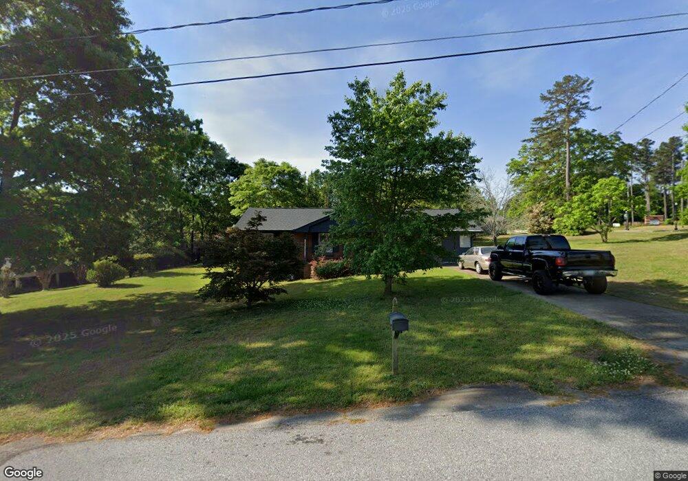
280 Woodland Rd Winder, GA 30680
Estimated Value: $245,000 - $268,000
3
Beds
2
Baths
1,539
Sq Ft
$163/Sq Ft
Est. Value
About This Home
This home is located at 280 Woodland Rd, Winder, GA 30680 and is currently estimated at $251,402, approximately $163 per square foot. 280 Woodland Rd is a home located in Barrow County with nearby schools including County Line Elementary School, Russell Middle School, and Winder-Barrow High School.
Ownership History
Date
Name
Owned For
Owner Type
Purchase Details
Closed on
Mar 28, 2023
Sold by
Hogan Melissa Rooks Executor
Bought by
Barnette Adam Bruce
Current Estimated Value
Home Financials for this Owner
Home Financials are based on the most recent Mortgage that was taken out on this home.
Original Mortgage
$165,938
Outstanding Balance
$161,748
Interest Rate
7.12%
Mortgage Type
FHA
Estimated Equity
$89,654
Create a Home Valuation Report for This Property
The Home Valuation Report is an in-depth analysis detailing your home's value as well as a comparison with similar homes in the area
Home Values in the Area
Average Home Value in this Area
Purchase History
| Date | Buyer | Sale Price | Title Company |
|---|---|---|---|
| Barnette Adam Bruce | $169,000 | -- |
Source: Public Records
Mortgage History
| Date | Status | Borrower | Loan Amount |
|---|---|---|---|
| Open | Barnette Adam Bruce | $165,938 |
Source: Public Records
Tax History Compared to Growth
Tax History
| Year | Tax Paid | Tax Assessment Tax Assessment Total Assessment is a certain percentage of the fair market value that is determined by local assessors to be the total taxable value of land and additions on the property. | Land | Improvement |
|---|---|---|---|---|
| 2024 | $1,910 | $70,101 | $18,000 | $52,101 |
| 2023 | $340 | $63,331 | $18,000 | $45,331 |
| 2022 | $639 | $60,180 | $18,000 | $42,180 |
| 2021 | $444 | $47,409 | $12,000 | $35,409 |
| 2020 | $489 | $52,209 | $16,800 | $35,409 |
| 2019 | $503 | $52,209 | $16,800 | $35,409 |
| 2018 | $475 | $50,632 | $16,800 | $33,832 |
| 2017 | $1,182 | $39,620 | $16,800 | $22,820 |
| 2016 | $311 | $39,620 | $16,800 | $22,820 |
| 2015 | $673 | $39,620 | $16,800 | $22,820 |
| 2014 | $417 | $31,052 | $8,232 | $22,820 |
| 2013 | -- | $29,468 | $8,232 | $21,236 |
Source: Public Records
Map
Nearby Homes
- 254 Partridge Trail
- 281 Springdale Dr
- 171 Brookview Terrace
- Cary C Plan at Lake Shore
- Marion A Plan at Lake Shore
- Cary A Plan at Lake Shore
- 128 Mcneal Rd
- 381 W Candler St
- 172 Settle St
- 436 Northcrest Dr
- 188 Melrose St
- 110 Mears St
- 221 Highway 211 NW
- 244 Bayou Ln Unit 1
- 217 Bellview St
- 418 Jasmine Dr
- 713 Mallard Dr
- 469 Plantation Dr
- 0 Bill Rutledge Rd Unit 7630436
- 0 Bill Rutledge Rd Unit 10591503
- 277 Partridge Trail
- 283 Partridge Trail
- 272 Woodland Rd
- 279 Woodland Rd
- 273 Partridge Trail
- 273 Woodland Rd
- 267 Partridge Trail
- 269 Woodland Rd
- 0 Partridge Trail Unit 3268270
- 0 Partridge Trail Unit 7214764
- 0 Partridge Trail Unit 8659718
- 0 Partridge Trail
- 282 Partridge Trail
- 276 Partridge Trail
- 262 Woodland Rd
- 261 Partridge Trail
- 243 Mcneal Rd
- 272 Partridge Trail
- 286 Partridge Trail
- 263 Woodland Rd