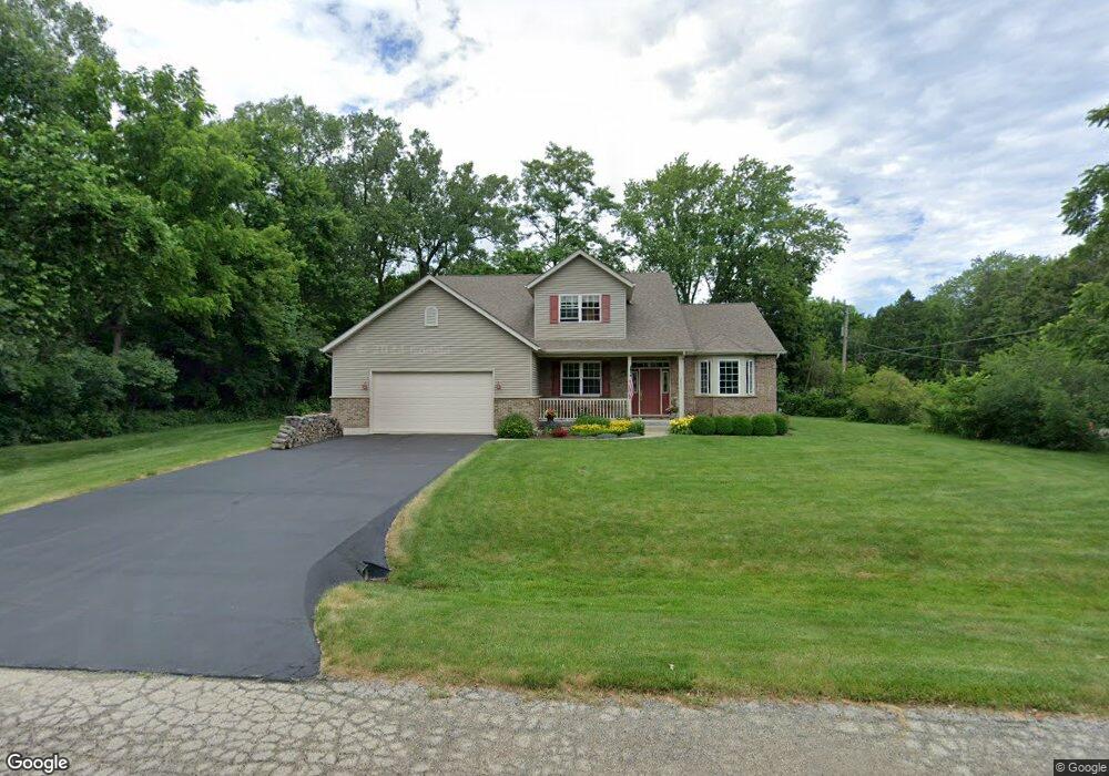
2800 12th St Winthrop Harbor, IL 60096
Shore Acres NeighborhoodEstimated Value: $354,000 - $413,000
3
Beds
3
Baths
2,347
Sq Ft
$167/Sq Ft
Est. Value
About This Home
This home is located at 2800 12th St, Winthrop Harbor, IL 60096 and is currently estimated at $391,247, approximately $166 per square foot. 2800 12th St is a home located in Lake County with nearby schools including Westfield School, North Prairie Junior High School, and Zion-Benton Township High School.
Ownership History
Date
Name
Owned For
Owner Type
Purchase Details
Closed on
Apr 9, 2004
Sold by
Pontillo Barbara A and Burkett Diane L
Bought by
Pontillo Louis P and Pontillo Peggy A
Current Estimated Value
Purchase Details
Closed on
Apr 8, 2004
Sold by
Trimarco Lynda Ann and Pontillo Lynda Ann
Bought by
Pontillo Louis P and Pontillo Peggy A
Purchase Details
Closed on
Apr 1, 2004
Sold by
Pontillo Barbara A
Bought by
Pontillo Louis P and Pontillo Peggy A
Create a Home Valuation Report for This Property
The Home Valuation Report is an in-depth analysis detailing your home's value as well as a comparison with similar homes in the area
Home Values in the Area
Average Home Value in this Area
Purchase History
| Date | Buyer | Sale Price | Title Company |
|---|---|---|---|
| Pontillo Louis P | -- | -- | |
| Pontillo Louis P | -- | -- | |
| Pontillo Louis P | -- | -- |
Source: Public Records
Tax History
| Year | Tax Paid | Tax Assessment Tax Assessment Total Assessment is a certain percentage of the fair market value that is determined by local assessors to be the total taxable value of land and additions on the property. | Land | Improvement |
|---|---|---|---|---|
| 2025 | $10,242 | $120,246 | $10,795 | $109,451 |
| 2024 | $10,075 | $109,713 | $9,849 | $99,864 |
| 2023 | $10,075 | $101,994 | $9,508 | $92,486 |
| 2022 | $9,538 | $93,154 | $9,270 | $83,884 |
| 2021 | $9,768 | $90,784 | $9,034 | $81,750 |
| 2020 | $9,480 | $86,634 | $8,621 | $78,013 |
| 2019 | $9,254 | $82,195 | $8,179 | $74,016 |
| 2018 | $9,705 | $85,463 | $9,855 | $75,608 |
| 2017 | $9,637 | $80,398 | $9,271 | $71,127 |
| 2016 | $9,396 | $76,540 | $8,826 | $67,714 |
| 2015 | $9,248 | $70,194 | $8,094 | $62,100 |
| 2014 | $7,752 | $61,994 | $11,776 | $50,218 |
| 2012 | $7,623 | $64,422 | $12,237 | $52,185 |
Source: Public Records
Map
Nearby Homes
- 1205 Pennsylvania Ave
- 0 13th St Unit MRD12569828
- 3106 13th St
- 0 14th St Unit MRD12620767
- 907 E Broadway Ave Unit E
- 1400 Sheridan Rd
- 1808 13th St
- 802 Kirkwood Ave
- 1715 14th St
- 1134 Franklin Ave
- 0 Sheridan Rd Unit MRD12548005
- 535 Thompson Ave
- 514 Judith Ct
- 630 Whitney Ave
- 1714 Hebron Ave
- 1430 Park Ave
- 9867 W 17th St
- 9743 W 16th St
- 0 Garnett Ave
- 1405 Lewis Ave
- 1124 Monroe Ave
- 2801 12th St
- 2812 12th St
- 2805 12th St
- 1201 Monroe Ave
- 1118 Monroe Ave
- 1145 Monroe Ave
- 1111 Monroe Ave
- 1206 Monroe Ave
- 1207 Monroe Ave
- 2811 12th St
- 1212 Monroe Ave
- 1215 Monroe Ave
- 1101 Monroe Ave
- 1104 Monroe Ave
- 1208 Pennsylvania Ave
- 1200 Pennsylvania Ave
- 2809 11th St
- 1218 Monroe Ave
- 1216 Pennsylvania Ave
Your Personal Tour Guide
Ask me questions while you tour the home.