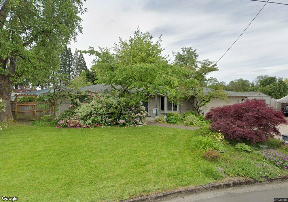
2800 Calla St Eugene, OR 97404
Santa Clara NeighborhoodEstimated Value: $439,000 - $466,000
3
Beds
2
Baths
1,683
Sq Ft
$271/Sq Ft
Est. Value
About This Home
This home is located at 2800 Calla St, Eugene, OR 97404 and is currently estimated at $455,845, approximately $270 per square foot. 2800 Calla St is a home located in Lane County with nearby schools including Spring Creek Elementary School, Madison Middle School, and North Eugene High School.
Ownership History
Date
Name
Owned For
Owner Type
Purchase Details
Closed on
Feb 20, 2009
Sold by
Rinker Melody R
Bought by
Rinker Melody R and Melody R Rinker Revocable Trust
Current Estimated Value
Purchase Details
Closed on
Nov 20, 2006
Sold by
Rose Ann W
Bought by
Rinker Melody R
Home Financials for this Owner
Home Financials are based on the most recent Mortgage that was taken out on this home.
Original Mortgage
$101,000
Outstanding Balance
$59,667
Interest Rate
6.28%
Mortgage Type
Purchase Money Mortgage
Estimated Equity
$396,178
Create a Home Valuation Report for This Property
The Home Valuation Report is an in-depth analysis detailing your home's value as well as a comparison with similar homes in the area
Home Values in the Area
Average Home Value in this Area
Purchase History
| Date | Buyer | Sale Price | Title Company |
|---|---|---|---|
| Rinker Melody R | -- | None Available | |
| Rinker Melody R | $235,000 | Fidelity Natl Title Co Of Or |
Source: Public Records
Mortgage History
| Date | Status | Borrower | Loan Amount |
|---|---|---|---|
| Open | Rinker Melody R | $101,000 |
Source: Public Records
Tax History
| Year | Tax Paid | Tax Assessment Tax Assessment Total Assessment is a certain percentage of the fair market value that is determined by local assessors to be the total taxable value of land and additions on the property. | Land | Improvement |
|---|---|---|---|---|
| 2025 | $3,298 | $240,869 | -- | -- |
| 2024 | $3,276 | $233,854 | -- | -- |
| 2023 | $3,276 | $227,043 | $0 | $0 |
| 2022 | $3,080 | $220,431 | $0 | $0 |
| 2021 | $2,769 | $214,011 | $0 | $0 |
| 2020 | $2,808 | $207,778 | $0 | $0 |
| 2019 | $2,704 | $201,727 | $0 | $0 |
| 2018 | $2,496 | $190,148 | $0 | $0 |
| 2017 | $2,399 | $190,148 | $0 | $0 |
| 2016 | $2,218 | $184,610 | $0 | $0 |
| 2015 | $2,125 | $179,233 | $0 | $0 |
| 2014 | $2,069 | $174,013 | $0 | $0 |
Source: Public Records
Map
Nearby Homes
- 2740 Stark St
- 2923 Maranta St
- 2785 Alyndale Dr
- 2937 Stark St
- 2488 Northampton
- 835 Bobolink Ave
- 2580 Crowther Dr
- 2484 Crowther Dr
- 2563 York St
- 2989 Dahlia Ln
- 1284 Alderbrook Ln
- 2568 Dover Dr
- 3307 Arrowhead St
- 3269 Korbel St
- 349 Irving Rd
- 349 Greenfield Ave
- 3365 Goose Cross Ln
- 303 Lenore Loop
- 1384 David Ave
- 200 Irving Rd
Your Personal Tour Guide
Ask me questions while you tour the home.