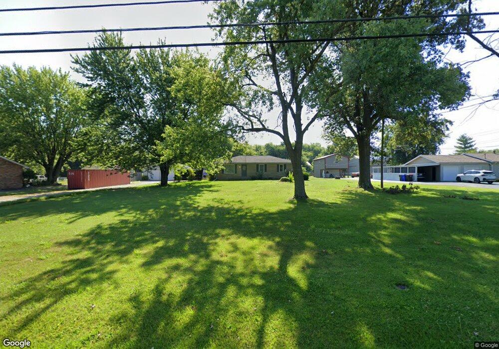
2800 Coal Mine Rd Newburgh, IN 47630
Estimated Value: $217,000 - $246,000
3
Beds
1
Bath
1,144
Sq Ft
$205/Sq Ft
Est. Value
About This Home
This home is located at 2800 Coal Mine Rd, Newburgh, IN 47630 and is currently estimated at $233,984, approximately $204 per square foot. 2800 Coal Mine Rd is a home located in Warrick County with nearby schools including John H. Castle Elementary School, Castle North Middle School, and Castle High School.
Ownership History
Date
Name
Owned For
Owner Type
Purchase Details
Closed on
Sep 12, 2016
Sold by
Woods Bill
Bought by
Fischer David P
Current Estimated Value
Home Financials for this Owner
Home Financials are based on the most recent Mortgage that was taken out on this home.
Original Mortgage
$109,900
Outstanding Balance
$87,840
Interest Rate
3.45%
Mortgage Type
New Conventional
Estimated Equity
$146,144
Create a Home Valuation Report for This Property
The Home Valuation Report is an in-depth analysis detailing your home's value as well as a comparison with similar homes in the area
Home Values in the Area
Average Home Value in this Area
Purchase History
| Date | Buyer | Sale Price | Title Company |
|---|---|---|---|
| Fischer David P | -- | Attorney |
Source: Public Records
Mortgage History
| Date | Status | Borrower | Loan Amount |
|---|---|---|---|
| Open | Fischer David P | $109,900 |
Source: Public Records
Tax History Compared to Growth
Tax History
| Year | Tax Paid | Tax Assessment Tax Assessment Total Assessment is a certain percentage of the fair market value that is determined by local assessors to be the total taxable value of land and additions on the property. | Land | Improvement |
|---|---|---|---|---|
| 2024 | $1,565 | $206,900 | $20,100 | $186,800 |
| 2023 | $1,579 | $203,300 | $20,100 | $183,200 |
| 2022 | $1,233 | $174,400 | $20,100 | $154,300 |
| 2021 | $977 | $140,600 | $21,100 | $119,500 |
| 2020 | $959 | $130,200 | $19,800 | $110,400 |
| 2019 | $872 | $120,600 | $19,800 | $100,800 |
| 2018 | $744 | $114,500 | $19,800 | $94,700 |
| 2017 | $698 | $110,400 | $19,800 | $90,600 |
| 2016 | $552 | $96,500 | $19,800 | $76,700 |
| 2014 | $1,498 | $98,300 | $19,800 | $78,500 |
| 2013 | $550 | $101,600 | $19,800 | $81,800 |
Source: Public Records
Map
Nearby Homes
- 2811 Terri Ln
- 2833 Terri Ln
- 0 Oak Grove Rd Unit 202445907
- 7561 Saint Jordan Cir
- 3244 Ashdon Dr
- 3144 Ashdon Dr
- 5555 Hillside Trail
- 7255 Timber View Dr
- 7966 Lake Terrace Ct
- 8218 Nolia Ln
- 8144 Clearview Dr
- 8277 Kifer Dr
- 3255 Blue Water Ct
- 7377 Castle Hills Dr
- 8077 Kingston Dr
- 3411 Pine Ridge Dr
- 8378 Nolia Ln
- 8377 Oak Grove Rd
- 8455 Nolia Ln
- 7617 Hillsboro Dr
- 2788 Coal Mine Rd
- 2822 Coal Mine Rd
- 7766 Faye Ln
- 7755 Alanton Park
- 2866 Coal Mine Rd
- 2766 Coal Mine Rd
- 2811 Coal Mine Rd
- 7788 Faye Ln
- 7777 Alanton Park
- 7777 Alanton Park Dr
- 7633 Windsor Ct
- 2833 Coal Mine Rd
- 2680 Coal Mine Rd
- 7800 Faye Ln
- 2800 Terri Ln
- 7799 Alanton Park
- 2855 Coal Mine Rd
- 2822 Terri Ln
- 7822 Faye Ln
- 2922 Coal Mine Rd