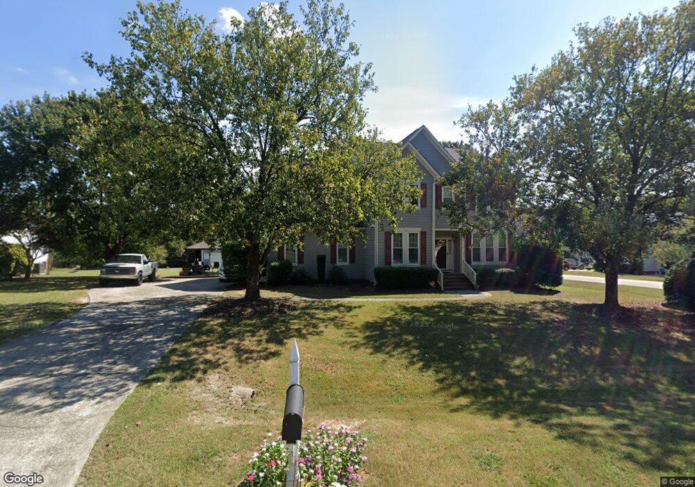
2800 Doves Nest Ct Fuquay Varina, NC 27526
Estimated Value: $472,000 - $568,000
--
Bed
3
Baths
2,650
Sq Ft
$191/Sq Ft
Est. Value
About This Home
This home is located at 2800 Doves Nest Ct, Fuquay Varina, NC 27526 and is currently estimated at $506,592, approximately $191 per square foot. 2800 Doves Nest Ct is a home located in Wake County with nearby schools including Fuquay-Varina High, Southern Wake Academy, and New School Montessori Center.
Ownership History
Date
Name
Owned For
Owner Type
Purchase Details
Closed on
Jun 30, 1998
Sold by
Solaris Development Corp
Bought by
Mcneil Luncie and Mcneil Stacy E
Current Estimated Value
Home Financials for this Owner
Home Financials are based on the most recent Mortgage that was taken out on this home.
Original Mortgage
$174,950
Outstanding Balance
$44,816
Interest Rate
9.85%
Estimated Equity
$461,776
Create a Home Valuation Report for This Property
The Home Valuation Report is an in-depth analysis detailing your home's value as well as a comparison with similar homes in the area
Home Values in the Area
Average Home Value in this Area
Purchase History
| Date | Buyer | Sale Price | Title Company |
|---|---|---|---|
| Mcneil Luncie | $194,500 | -- |
Source: Public Records
Mortgage History
| Date | Status | Borrower | Loan Amount |
|---|---|---|---|
| Open | Mcneil Luncie | $174,950 |
Source: Public Records
Tax History Compared to Growth
Tax History
| Year | Tax Paid | Tax Assessment Tax Assessment Total Assessment is a certain percentage of the fair market value that is determined by local assessors to be the total taxable value of land and additions on the property. | Land | Improvement |
|---|---|---|---|---|
| 2025 | $3,108 | $482,854 | $105,000 | $377,854 |
| 2024 | $3,019 | $482,854 | $105,000 | $377,854 |
| 2023 | $2,366 | $300,863 | $48,000 | $252,863 |
| 2022 | $2,108 | $289,073 | $48,000 | $241,073 |
| 2021 | $2,051 | $289,073 | $48,000 | $241,073 |
| 2020 | $2,018 | $289,073 | $48,000 | $241,073 |
| 2019 | $1,909 | $231,261 | $48,000 | $183,261 |
| 2018 | $1,755 | $231,261 | $48,000 | $183,261 |
| 2017 | $1,664 | $231,261 | $48,000 | $183,261 |
| 2016 | $1,631 | $231,261 | $48,000 | $183,261 |
| 2015 | $1,654 | $235,252 | $50,000 | $185,252 |
| 2014 | $1,568 | $235,252 | $50,000 | $185,252 |
Source: Public Records
Map
Nearby Homes
- 2805 Doves Nest Ct
- 3127 White Rail Dr
- 3125 White Rail Dr
- 816 Ballaster Rd
- 805 Fireship Rd
- 803 Fireship Rd
- 807 Fireship Rd
- 809 Fireship Rd
- 2401 Adrift Rd
- 2403 Adrift Rd
- 2408 Adrift Rd
- 2400 Adrift Rd
- 2412 Adrift Rd
- 2404 Adrift Rd
- 2415 Adrift Rd
- 3017 White Rail Dr
- Grayson 2 Plan at Atwater Station - Homestead Collection
- Pomona End Unit Plan at Atwater Station - Midtown Collection
- Timothy Plan at Atwater Station - Village Collection
- 2804 Doves Nest Ct
- 905 White Meadows Dr
- 904 White Meadows Dr
- 2801 Doves Nest Ct
- 908 White Meadows Dr
- 900 White Meadows Dr
- 820 White Meadows Dr
- 2808 Doves Nest Ct
- 1001 White Meadows Dr
- 816 White Meadows Dr
- 1000 White Meadows Dr
- 2809 Doves Nest Ct
- 2812 Doves Nest Ct
- 2705 Black Duck Ct
- 900 Cedar Point Ct
- 904 Cedar Point Ct
- 805 White Meadows Dr
- 808 White Meadows Dr
- 812 White Meadows Dr
- 2701 Black Duck Ct