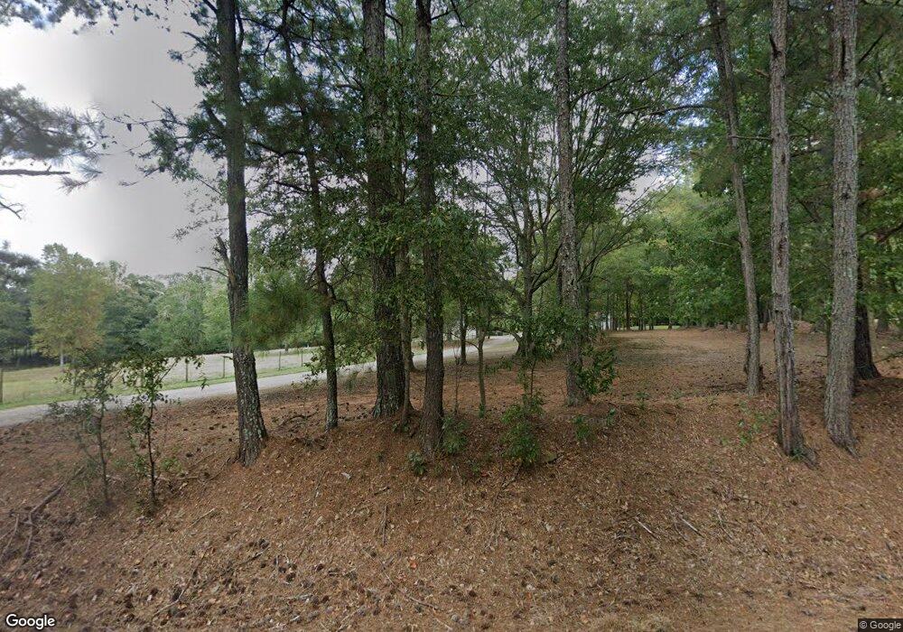
2800 E Highway 5 Carrollton, GA 30116
Estimated Value: $345,000 - $524,000
3
Beds
2
Baths
2,092
Sq Ft
$220/Sq Ft
Est. Value
About This Home
This home is located at 2800 E Highway 5, Carrollton, GA 30116 and is currently estimated at $460,105, approximately $219 per square foot. 2800 E Highway 5 is a home located in Carroll County with nearby schools including Roopville Elementary School, Central Middle School, and Central High School.
Ownership History
Date
Name
Owned For
Owner Type
Purchase Details
Closed on
Feb 7, 2013
Sold by
Red Horse Properties Llc
Bought by
Hill William and Hill Janet
Current Estimated Value
Purchase Details
Closed on
Dec 6, 2005
Sold by
Willis L Dale L and Willis Jane S
Bought by
Crook Deron and Crook Shea
Purchase Details
Closed on
Dec 2, 2005
Sold by
Willis L Dale
Bought by
Willis L Dale L and Willis Jane S
Purchase Details
Closed on
May 24, 1984
Bought by
Willis L Dale
Create a Home Valuation Report for This Property
The Home Valuation Report is an in-depth analysis detailing your home's value as well as a comparison with similar homes in the area
Home Values in the Area
Average Home Value in this Area
Purchase History
| Date | Buyer | Sale Price | Title Company |
|---|---|---|---|
| Hill William | $720,000 | -- | |
| Crook Deron | -- | -- | |
| Willis L Dale L | -- | -- | |
| Willis L Dale | -- | -- |
Source: Public Records
Tax History Compared to Growth
Tax History
| Year | Tax Paid | Tax Assessment Tax Assessment Total Assessment is a certain percentage of the fair market value that is determined by local assessors to be the total taxable value of land and additions on the property. | Land | Improvement |
|---|---|---|---|---|
| 2024 | $3,415 | $189,525 | $41,269 | $148,256 |
| 2023 | $3,678 | $187,086 | $33,015 | $154,071 |
| 2022 | $2,955 | $145,732 | $22,010 | $123,722 |
| 2021 | $2,670 | $125,809 | $17,608 | $108,201 |
| 2020 | $2,380 | $109,558 | $16,007 | $93,551 |
| 2019 | $2,247 | $101,427 | $16,007 | $85,420 |
| 2018 | $1,743 | $90,203 | $14,960 | $75,243 |
Source: Public Records
Map
Nearby Homes
- 32 Duncan Rd
- 54 Duncan Rd
- 00 Duncan Rd
- 0 Duncan Rd
- 0 Duncan Rd Unit 20043974
- 0 Duncan Rd Unit 7276438
- 0 Duncan Rd Unit 8075125
- 0 Duncan Rd Unit 7069888
- 0 Duncan Rd Unit 8633742
- 0 Duncan Rd Unit 8323200
- 0 Duncan Rd Unit 7012624
- 0 Duncan Rd Unit 8287433
- 0 Duncan Rd Unit 3190450
- 0 Duncan Rd Unit 7273897
- 0 Duncan Rd Unit 3080597
- 0 Duncan Rd Unit 7497668
- 284 Lowell Ln
- 2752 E Highway 5
- 51 Duncan Rd
- 96 Duncan Rd
