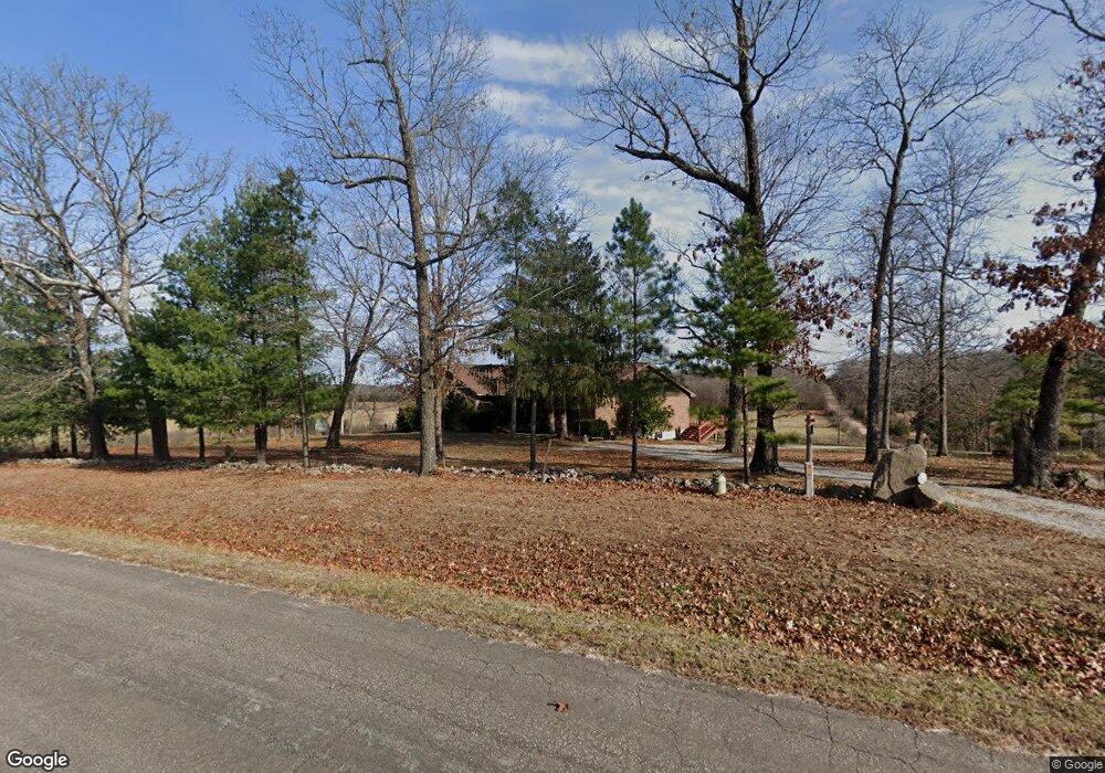
2800 Highway W Summersville, MO 65571
Estimated Value: $203,000 - $330,000
--
Bed
--
Bath
2,084
Sq Ft
$128/Sq Ft
Est. Value
About This Home
This home is located at 2800 Highway W, Summersville, MO 65571 and is currently estimated at $267,112, approximately $128 per square foot. 2800 Highway W is a home with nearby schools including Summersville Elementary School and Summersville High School.
Ownership History
Date
Name
Owned For
Owner Type
Purchase Details
Closed on
Feb 13, 2019
Sold by
Anderson James and Anderson Nancy
Bought by
Anderson James and Anderson Nancy
Current Estimated Value
Purchase Details
Closed on
May 30, 2014
Sold by
Dalaviras Thomas W
Bought by
Anderson James and Anderson Nancy
Home Financials for this Owner
Home Financials are based on the most recent Mortgage that was taken out on this home.
Original Mortgage
$95,920
Outstanding Balance
$73,368
Interest Rate
4.35%
Mortgage Type
Unknown
Estimated Equity
$193,744
Create a Home Valuation Report for This Property
The Home Valuation Report is an in-depth analysis detailing your home's value as well as a comparison with similar homes in the area
Home Values in the Area
Average Home Value in this Area
Purchase History
| Date | Buyer | Sale Price | Title Company |
|---|---|---|---|
| Anderson James | -- | None Available | |
| Anderson James | -- | None Available |
Source: Public Records
Mortgage History
| Date | Status | Borrower | Loan Amount |
|---|---|---|---|
| Open | Anderson James | $95,920 |
Source: Public Records
Tax History Compared to Growth
Tax History
| Year | Tax Paid | Tax Assessment Tax Assessment Total Assessment is a certain percentage of the fair market value that is determined by local assessors to be the total taxable value of land and additions on the property. | Land | Improvement |
|---|---|---|---|---|
| 2024 | $1,168 | $28,630 | $0 | $0 |
| 2023 | $1,164 | $28,630 | $0 | $0 |
| 2022 | $1,062 | $26,300 | $0 | $0 |
| 2021 | $1,002 | $26,300 | $0 | $0 |
| 2020 | $1,002 | $24,990 | $0 | $0 |
| 2019 | $1,002 | $24,990 | $0 | $0 |
| 2018 | $907 | $22,500 | $0 | $0 |
| 2017 | $905 | $22,500 | $0 | $0 |
| 2016 | $901 | $22,470 | $0 | $0 |
| 2015 | -- | $22,470 | $0 | $0 |
| 2014 | -- | $22,470 | $0 | $0 |
Source: Public Records
Map
Nearby Homes
- 000 Date Dr
- 0 Date Dr
- 1742 Date Dr
- 3463 Bethel Dr Summersville Dr
- 2275 Bells Rd
- 1404 Harlow Rd
- 761 Harlow Rd
- 21371 Howell Rd
- 0 Tbd County Road 3940
- 0 Tbd State Route Y
- 267 Dent Ave
- Tbd County Road 3940
- 117 Hillcrest St
- 0000 Missouri 17
- 9418 State Rt D
- 1206 Roark Dr
- 250735000000007 State Highway Y
- Tbd State Highway Y
- 9065 County Road 3940
- 1358 Bradford Rd