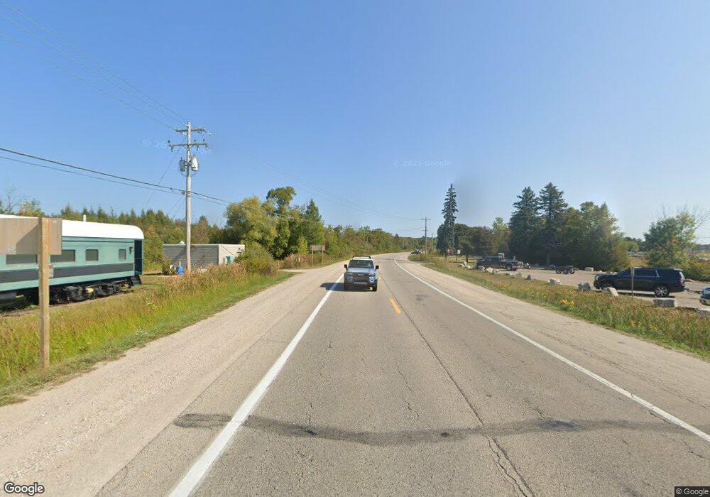
2800 S Us Highway 31 Unit 9 Alanson, MI 49706
Estimated Value: $838,215 - $917,000
--
Bed
--
Bath
--
Sq Ft
--
Built
About This Home
This home is located at 2800 S Us Highway 31 Unit 9, Alanson, MI 49706 and is currently estimated at $868,738. 2800 S Us Highway 31 Unit 9 is a home located in Emmet County with nearby schools including Petoskey High School and Harbor Light Christian School.
Ownership History
Date
Name
Owned For
Owner Type
Purchase Details
Closed on
Oct 22, 2025
Sold by
Laforet Matthew Edmond and Laforet Donna Joan
Bought by
Laforet Matthew E and Laforet Donna J
Current Estimated Value
Purchase Details
Closed on
Jul 17, 2017
Sold by
Harrell Benjamin and Harrell Allison L
Bought by
Laforet Matthew Edmond and Caforet Donna Joan
Home Financials for this Owner
Home Financials are based on the most recent Mortgage that was taken out on this home.
Original Mortgage
$310,000
Interest Rate
3.9%
Mortgage Type
Purchase Money Mortgage
Purchase Details
Closed on
Nov 10, 2005
Bought by
Harrell Benjamin and Harrell Allison L
Create a Home Valuation Report for This Property
The Home Valuation Report is an in-depth analysis detailing your home's value as well as a comparison with similar homes in the area
Home Values in the Area
Average Home Value in this Area
Purchase History
| Date | Buyer | Sale Price | Title Company |
|---|---|---|---|
| Laforet Matthew E | -- | -- | |
| Laforet Matthew Edmond | -- | Crossroads Title | |
| Harrell Benjamin | -- | -- |
Source: Public Records
Mortgage History
| Date | Status | Borrower | Loan Amount |
|---|---|---|---|
| Previous Owner | Laforet Matthew Edmond | $310,000 |
Source: Public Records
Tax History Compared to Growth
Tax History
| Year | Tax Paid | Tax Assessment Tax Assessment Total Assessment is a certain percentage of the fair market value that is determined by local assessors to be the total taxable value of land and additions on the property. | Land | Improvement |
|---|---|---|---|---|
| 2025 | $5,561 | $427,300 | $0 | $427,300 |
| 2024 | $5,561 | $247,100 | $0 | $247,100 |
| 2023 | $9,035 | $235,400 | $0 | $235,400 |
| 2022 | $9,035 | $219,600 | $0 | $219,600 |
| 2021 | $8,738 | $219,600 | $0 | $219,600 |
| 2020 | $8,585 | $212,300 | $0 | $212,300 |
| 2019 | $8,386 | $244,200 | $0 | $244,200 |
| 2018 | $8,272 | $212,000 | $0 | $212,000 |
| 2017 | -- | $212,000 | $0 | $212,000 |
| 2016 | -- | $212,000 | $0 | $212,000 |
| 2015 | -- | $212,000 | $0 | $0 |
| 2014 | -- | $172,400 | $0 | $0 |
Source: Public Records
Map
Nearby Homes
- 8745 Sandy St Unit LOT 92
- 5012 Cook Ave
- 3670 Oden Rd Unit 5
- 3670 Oden Rd Unit 9
- 3734 Oden Rd
- 2570 Liegl Dr
- 8525 Commerce Ct
- 3859 Powers Rd
- 8555 Moeller Dr
- 4337 High St
- 2067 Bluestem Dr Unit 264
- 8278 Mink Rd Unit Parcel A
- 4700 Rd
- 5160 Vis-A-vis Ln
- 4760 Oden Rd
- Lot 3 Leeward Dr
- Lot 2 Leeward Dr
- 4766 Cypress Ct
- 4742 Cypress Ct
- 5577 Pincherry Ln Unit 39
- 2800 S Us Highway 31 Unit s 2 & 14
- 2800 S Us Highway 31
- 2800 Oden Rd
- 2800 Oden Rd Unit 9
- 2800 S Us Highway 31 Unit 1
- 2800 S Us Highway 31 Unit 24
- 2800 S Us Highway 31 Unit 23
- 2800 S Us Highway 31 Unit 22
- 2800 S Us Highway 31 Unit 21
- 2800 S Us Highway 31 Unit 20
- 2800 S Us Highway 31 Unit 19
- 2800 S Us Highway 31 Unit 18
- 2800 S Us Highway 31 Unit 17
- 2800 S Us Highway 31 Unit 16
- 2800 S Us Highway 31 Unit 15
- 2800 S Us Highway 31 Unit 14
- 2800 S Us Highway 31 Unit 12
- 2800 S Us Highway 31 Unit 11
- 2800 S Us Highway 31 Unit 8
- 2800 S Us Highway 31 Unit 7
