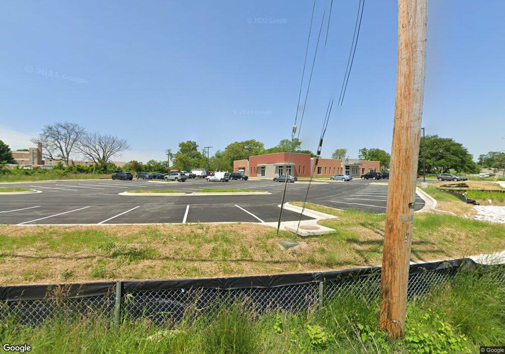
2800 Sollers Point Rd Dundalk, MD 21222
Estimated Value: $1,271,471
Studio
--
Bath
10,270
Sq Ft
$124/Sq Ft
Est. Value
About This Home
This home is located at 2800 Sollers Point Rd, Dundalk, MD 21222 and is currently priced at $1,271,471, approximately $123 per square foot. 2800 Sollers Point Rd is a home located in Baltimore County with nearby schools including Dundalk Elementary, Dundalk Middle School, and Dundalk High School.
Ownership History
Date
Name
Owned For
Owner Type
Purchase Details
Closed on
Sep 28, 2017
Sold by
Sparrows Point Sundalk No 1228 Loyal
Bought by
Mace Real Estate Llc
Current Estimated Value
Home Financials for this Owner
Home Financials are based on the most recent Mortgage that was taken out on this home.
Original Mortgage
$536,250
Outstanding Balance
$447,920
Interest Rate
3.82%
Mortgage Type
Commercial
Create a Home Valuation Report for This Property
The Home Valuation Report is an in-depth analysis detailing your home's value as well as a comparison with similar homes in the area
Home Values in the Area
Average Home Value in this Area
Purchase History
| Date | Buyer | Sale Price | Title Company |
|---|---|---|---|
| Mace Real Estate Llc | $825,000 | None Available |
Source: Public Records
Mortgage History
| Date | Status | Borrower | Loan Amount |
|---|---|---|---|
| Open | Mace Real Estate Llc | $536,250 |
Source: Public Records
Tax History
| Year | Tax Paid | Tax Assessment Tax Assessment Total Assessment is a certain percentage of the fair market value that is determined by local assessors to be the total taxable value of land and additions on the property. | Land | Improvement |
|---|---|---|---|---|
| 2025 | $45,533 | $3,892,633 | -- | -- |
| 2024 | $45,533 | $3,585,000 | $342,700 | $3,242,300 |
| 2023 | $22,621 | $3,477,267 | $0 | $0 |
| 2022 | $6,357 | $356,367 | $0 | $0 |
| 2021 | $10,509 | $824,700 | $342,700 | $482,000 |
| 2020 | $10,509 | $822,067 | $0 | $0 |
| 2019 | $10,442 | $819,433 | $0 | $0 |
| 2018 | $11,202 | $816,800 | $342,700 | $474,100 |
| 2017 | $16,397 | $804,333 | $0 | $0 |
| 2016 | $964 | $796,400 | $0 | $0 |
| 2015 | $964 | $787,900 | $0 | $0 |
| 2014 | $964 | $779,400 | $0 | $0 |
Source: Public Records
Map
Nearby Homes
- 7111 Sollers Point Rd
- 1940H Robinwood Rd
- 100 Shipway
- 2953 Yorkway
- 1924 Sunberry Rd
- 2970 Yorkway
- 2725 Kirkleigh Rd
- 2743 Kirkleigh Rd
- 1930 Stanhope Rd
- 2616 Liberty Pkwy
- 1917 Merritt Blvd
- 7191 Smoke Stack Rd
- 2604 Liberty Pkwy
- 25 Leeway
- 7252 Meadow Ln
- 7151 Sollers Point Rd
- 7150 Smoke Stack Rd
- 2738 Moorgate Rd
- 2532 Liberty Pkwy
- 2746 Moorgate Rd
- 2115 Merritt Ave
- 1946 Midland Rd
- 2113 Merritt Ave
- 7250 Sollers Point Rd
- 2109 Merritt Ave
- 1944 Midland Rd
- 1959 Midland Rd
- 7248 Sollers Point Rd
- 2105 Merritt Ave
- 1942 Midland Rd
- 7246 Sollers Point Rd
- 2111 Eilers Ave
- 2102 Merritt Ave
- 1955 Midland Rd
- 2101 Merritt Ave
- 2100 Merritt Ave
- 2033 Merritt Ave
- 2027 Eilers Ave
- 1940 Midland Rd
- 1945 Robinwood Rd