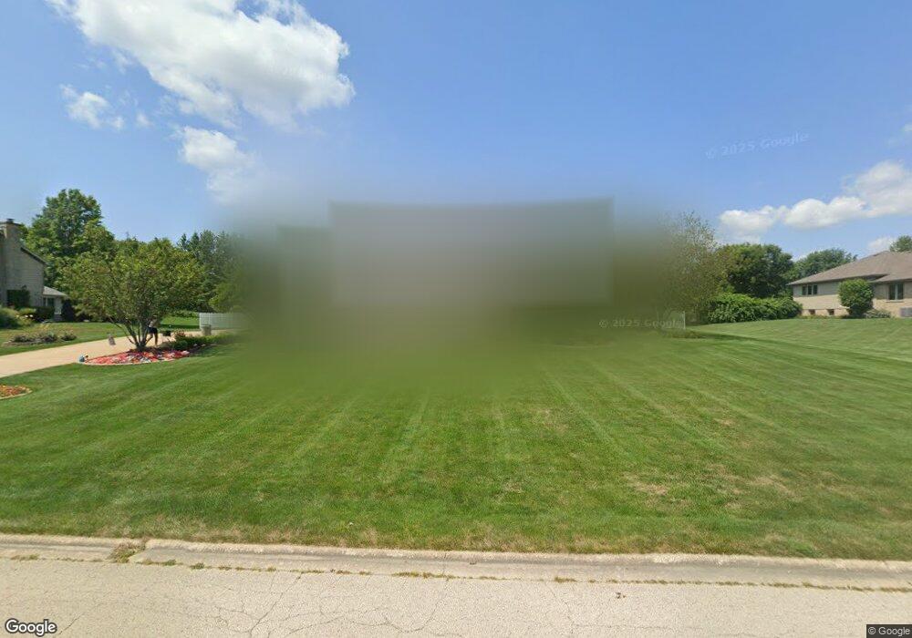
2801 Chessington Dr New Lenox, IL 60451
Estimated Value: $510,000 - $605,000
--
Bed
--
Bath
--
Sq Ft
0.93
Acres
About This Home
This home is located at 2801 Chessington Dr, New Lenox, IL 60451 and is currently estimated at $547,502. 2801 Chessington Dr is a home located in Will County with nearby schools including Spencer Trail, Spencer Pointe, and Spencer Crossing Intermediate School.
Ownership History
Date
Name
Owned For
Owner Type
Purchase Details
Closed on
Sep 1, 2021
Sold by
Wick David A and Wick Leslie A
Bought by
Wick Leslie A and The Leslie A Wick Declaration
Current Estimated Value
Purchase Details
Closed on
Sep 19, 2020
Sold by
Wick David and Wick Leslie A
Bought by
Wick Leslie A
Purchase Details
Closed on
Nov 2, 2009
Sold by
Wick David A and Wick Leslie A
Bought by
Wick David A and Wick Leslie A
Purchase Details
Closed on
May 31, 2007
Sold by
Wick David P
Bought by
Wick Leslie A
Home Financials for this Owner
Home Financials are based on the most recent Mortgage that was taken out on this home.
Original Mortgage
$100,000
Interest Rate
6.37%
Mortgage Type
New Conventional
Create a Home Valuation Report for This Property
The Home Valuation Report is an in-depth analysis detailing your home's value as well as a comparison with similar homes in the area
Home Values in the Area
Average Home Value in this Area
Purchase History
| Date | Buyer | Sale Price | Title Company |
|---|---|---|---|
| Wick Leslie A | -- | None Available | |
| Wick Leslie A | -- | None Available | |
| Wick David A | -- | None Available | |
| Wick Leslie A | -- | Stewart Title Company |
Source: Public Records
Mortgage History
| Date | Status | Borrower | Loan Amount |
|---|---|---|---|
| Closed | Wick Leslie A | $100,000 |
Source: Public Records
Tax History Compared to Growth
Tax History
| Year | Tax Paid | Tax Assessment Tax Assessment Total Assessment is a certain percentage of the fair market value that is determined by local assessors to be the total taxable value of land and additions on the property. | Land | Improvement |
|---|---|---|---|---|
| 2024 | $12,079 | $162,382 | $35,744 | $126,638 |
| 2023 | $12,079 | $148,023 | $32,583 | $115,440 |
| 2022 | $10,874 | $136,364 | $30,017 | $106,347 |
| 2021 | $10,331 | $128,246 | $28,230 | $100,016 |
| 2020 | $10,038 | $123,670 | $27,223 | $96,447 |
| 2019 | $9,604 | $135,248 | $26,379 | $108,869 |
| 2018 | $10,656 | $130,586 | $25,469 | $105,117 |
| 2017 | $10,119 | $126,832 | $24,737 | $102,095 |
| 2016 | $9,827 | $123,438 | $24,075 | $99,363 |
| 2015 | $9,453 | $119,552 | $23,317 | $96,235 |
| 2014 | $9,453 | $118,076 | $23,029 | $95,047 |
| 2013 | $9,453 | $119,667 | $23,339 | $96,328 |
Source: Public Records
Map
Nearby Homes
- 2980 Oak Rail Dr
- 1401 Ottawa Dr
- 22559 S Country Ln
- 2124 Sky Harbor Dr
- 2165 High View Rd
- 2125 Sky Harbor Dr
- 2164 Sky Harbor Dr
- 2166 Sky Harbor Dr
- 500 E Laraway Rd
- 550 E Laraway Rd
- 2185 Bristol Park Rd
- 2067 Edgeview Dr
- 2019 Royalglen Dr
- 911 Canongate Ln
- Lot 1 Baker Rd
- 2461 Stone Creek Dr
- 1501 Glenbrooke Ln
- 2451 Stone Creek Dr
- 2441 Stone Creek Dr
- 1515 Glenbrooke Ln
- 2741 Chessington Dr
- 2821 Chessington Dr
- 2760 Chessington Dr
- 2841 Chessington Dr
- 2721 Chessington Dr
- 2800 Farm View Rd
- 2800 Chessington Dr
- 2740 Chessington Dr
- 2820 Chessington Dr
- 2840 Chessington Dr
- 2820 Farm View Rd
- 2901 Chessington Dr
- 2701 Chessington Dr
- 1608 Pheasant Ln
- 2840 Farm View Rd
- 2760 Farm View Rd Unit 2
- 2880 Farm View Rd
- 2740 Farm View Rd Unit 2
- 2700 Chessington Dr
- 1801 Wallington Dr