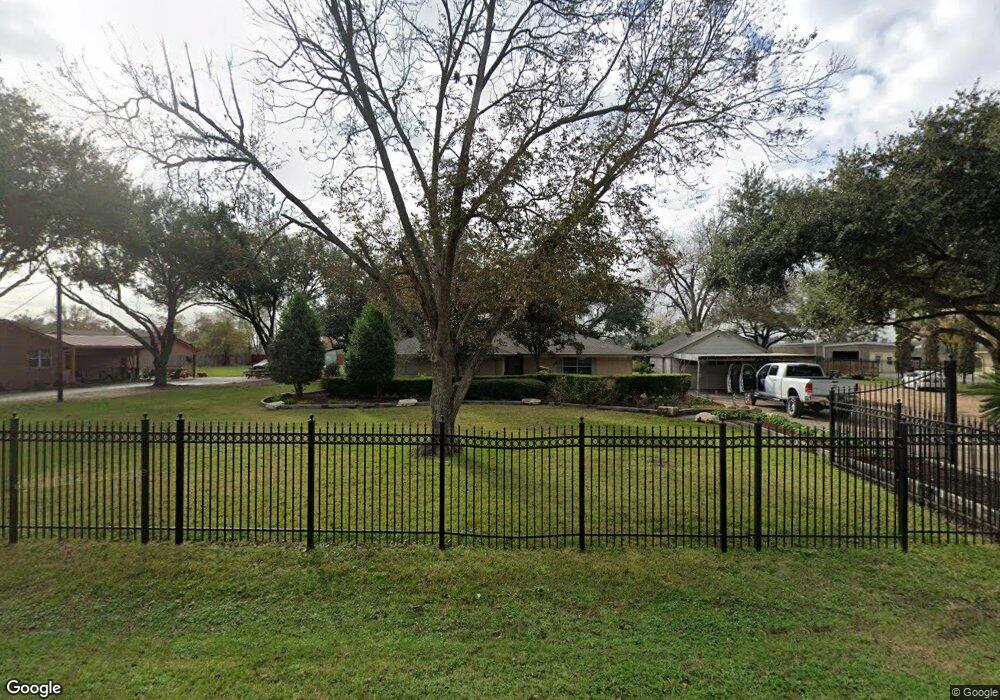
2801 Frick Rd Houston, TX 77038
North Houston NeighborhoodEstimated Value: $305,000 - $435,729
3
Beds
2
Baths
1,712
Sq Ft
$214/Sq Ft
Est. Value
About This Home
This home is located at 2801 Frick Rd, Houston, TX 77038 and is currently estimated at $366,910, approximately $214 per square foot. 2801 Frick Rd is a home located in Harris County with nearby schools including Kujawa EC/Pre-K/K School, Carter Academy, and Shotwell Middle School.
Ownership History
Date
Name
Owned For
Owner Type
Purchase Details
Closed on
Oct 13, 2006
Sold by
Aguilar Carlos
Bought by
Woodmere Development Co Ltd
Current Estimated Value
Purchase Details
Closed on
Feb 4, 1999
Sold by
Youngblood Charlie D and Youngblood Mary
Bought by
Aguilar Carlos
Home Financials for this Owner
Home Financials are based on the most recent Mortgage that was taken out on this home.
Original Mortgage
$129,820
Interest Rate
6.79%
Create a Home Valuation Report for This Property
The Home Valuation Report is an in-depth analysis detailing your home's value as well as a comparison with similar homes in the area
Home Values in the Area
Average Home Value in this Area
Purchase History
| Date | Buyer | Sale Price | Title Company |
|---|---|---|---|
| Woodmere Development Co Ltd | -- | Stewart Title Houston Commer | |
| Aguilar Carlos | -- | First American Title |
Source: Public Records
Mortgage History
| Date | Status | Borrower | Loan Amount |
|---|---|---|---|
| Previous Owner | Aguilar Carlos | $129,820 |
Source: Public Records
Tax History Compared to Growth
Tax History
| Year | Tax Paid | Tax Assessment Tax Assessment Total Assessment is a certain percentage of the fair market value that is determined by local assessors to be the total taxable value of land and additions on the property. | Land | Improvement |
|---|---|---|---|---|
| 2025 | $1,498 | $426,510 | $308,166 | $118,344 |
| 2024 | $1,498 | $435,675 | $228,836 | $206,839 |
| 2023 | $1,498 | $371,886 | $228,836 | $143,050 |
| 2022 | $4,676 | $369,966 | $228,836 | $141,130 |
| 2021 | $4,456 | $206,749 | $87,273 | $119,476 |
| 2020 | $4,697 | $206,749 | $87,273 | $119,476 |
| 2019 | $4,918 | $206,749 | $87,273 | $119,476 |
| 2018 | $2,610 | $206,749 | $87,273 | $119,476 |
| 2017 | $4,686 | $206,749 | $87,273 | $119,476 |
| 2016 | $4,375 | $193,060 | $76,023 | $117,037 |
| 2015 | $3,458 | $193,060 | $76,023 | $117,037 |
| 2014 | $3,458 | $193,060 | $76,023 | $117,037 |
Source: Public Records
Map
Nearby Homes
- 2811 Oakland Brook St
- 2831 Oakland Brook St
- 2838 Packard Elm St
- 2835 Oakland Brook St
- 2614 Lemonwood Ln
- 2719 Magnolia Hill Trail
- 3127 Frick Rd
- 2530 Woodtown Dr
- 13308 Ann Louise Rd
- 12718 Sai Baba Dr
- 2203 Chalet Rd
- 3265 Frick Rd
- 2115 Havencrest Dr
- 12623 Ann Louise Rd
- 2919 Sunwood Dr
- 12518 Pelican Bay Dr
- Whitetail Plan at Forestwood
- Kitson Plan at Forestwood
- Pinehollow Plan at Forestwood
- 12530 Wild Strawberry Rd
- 2777 Frick Rd
- 2819 Frick Rd
- 2727 Frick Rd
- 2823 Packard Elm St
- 2819 Packard Elm St
- 2827 Packard Elm St
- 2815 Packard Elm St
- 2831 Packard Elm St
- 2811 Packard Elm St
- 2835 Packard Elm St
- 2807 Packard Elm St
- 2839 Packard Elm St
- 2803 Packard Elm St
- 2843 Packard Elm St
- 2847 Packard Elm St
- 2851 Packard Elm St
- 2755 Packard Elm St
- 2822 Packard Elm St
- 2818 Packard Elm St
- 2826 Packard Elm St