2801 Jim Daniels Rd Island, KY 42350
Estimated Value: $155,000 - $306,384
3
Beds
2
Baths
1,476
Sq Ft
$156/Sq Ft
Est. Value
About This Home
This home is located at 2801 Jim Daniels Rd, Island, KY 42350 and is currently estimated at $230,692, approximately $156 per square foot. 2801 Jim Daniels Rd is a home located in McLean County with nearby schools including McLean County High School.
Ownership History
Date
Name
Owned For
Owner Type
Purchase Details
Closed on
Nov 14, 2014
Sold by
Edmonds Robbie L and Edmonds Valarie D
Bought by
Alexander Derek L and Alexander Susan A
Current Estimated Value
Home Financials for this Owner
Home Financials are based on the most recent Mortgage that was taken out on this home.
Original Mortgage
$187,755
Outstanding Balance
$143,561
Interest Rate
3.95%
Mortgage Type
New Conventional
Estimated Equity
$87,131
Purchase Details
Closed on
Oct 1, 2005
Bought by
Edmonds Robbie L and Edmonds Valaire N
Create a Home Valuation Report for This Property
The Home Valuation Report is an in-depth analysis detailing your home's value as well as a comparison with similar homes in the area
Home Values in the Area
Average Home Value in this Area
Purchase History
| Date | Buyer | Sale Price | Title Company |
|---|---|---|---|
| Alexander Derek L | $184,000 | True Title Svc Llc | |
| Edmonds Robbie L | $118,600 | -- |
Source: Public Records
Mortgage History
| Date | Status | Borrower | Loan Amount |
|---|---|---|---|
| Open | Alexander Derek L | $187,755 |
Source: Public Records
Tax History Compared to Growth
Tax History
| Year | Tax Paid | Tax Assessment Tax Assessment Total Assessment is a certain percentage of the fair market value that is determined by local assessors to be the total taxable value of land and additions on the property. | Land | Improvement |
|---|---|---|---|---|
| 2024 | $2,085 | $194,000 | $24,900 | $169,100 |
| 2023 | $1,989 | $184,000 | $24,900 | $159,100 |
| 2022 | $1,981 | $184,000 | $24,900 | $159,100 |
| 2021 | $1,976 | $184,000 | $24,900 | $159,100 |
| 2020 | $1,865 | $184,000 | $24,900 | $159,100 |
| 2019 | $1,867 | $184,000 | $24,900 | $159,100 |
| 2018 | $1,846 | $184,000 | $0 | $0 |
| 2016 | $1,746 | $184,000 | $0 | $0 |
| 2015 | $1,675 | $368,500 | $0 | $0 |
| 2014 | $1,669 | $369,000 | $0 | $0 |
| 2010 | -- | $184,500 | $0 | $0 |
Source: Public Records
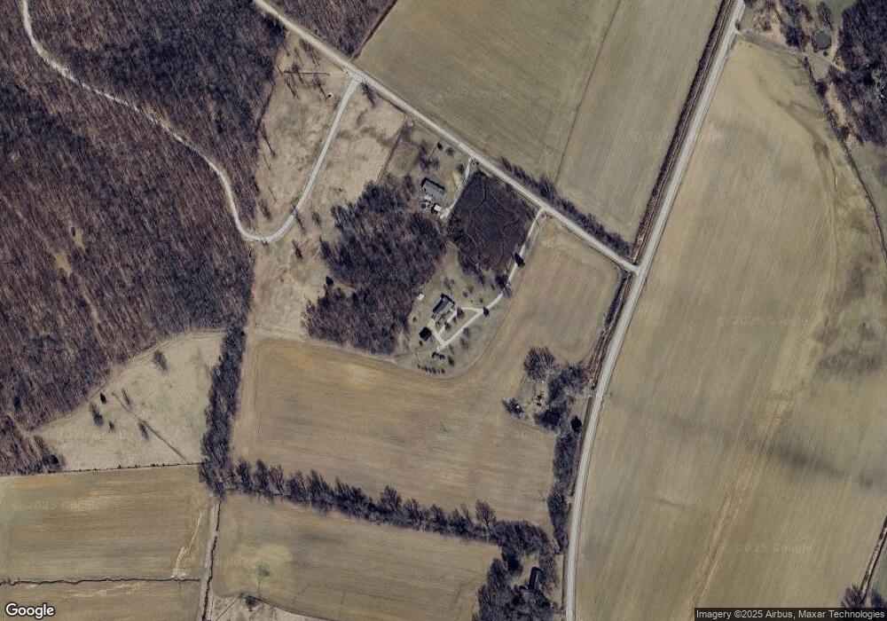
Map
Nearby Homes
- 445 Daniel St
- 235 Railroad St
- 271 Latham Ln
- 250 Meadowview St
- 140 Eastwood Ct
- 304 Duvall Ct
- 106 School St
- 808 Sand Hill Rd
- 912 Henton St
- 210 Brentwood Dr
- 900 Old Buck Creek Church Rd
- 0 Equality Church Rd
- 3290 Kentucky 81
- 1295 Stringer Rd
- 9549 State Route 81 S
- 120 Main St
- 374 Main St
- 520 Johnson Ln
- 1128 Kentucky 138
- 175 Lynn City Rd
- 1585 State Route 2110
- 1731 State Route 2110
- 1330 State Route 2110
- 1769 State Route 2110
- 1973 Us Highway 431
- 1885 State Route 2110
- 1914 State Route 2110
- 1032 State Route 2110
- 480 W Main St Unit I
- 460 W Main St Unit I
- 470 W Main St Unit I
- 165 School St
- 520 W Main St
- 510 W Main St Unit I
- 420 W Main St Unit I
- 6880 State Route 85 E
- 105 Old Sacramento Rd
- 170 N 1st St Unit I
- 2393 Us Highway 431
- 415 W Main St