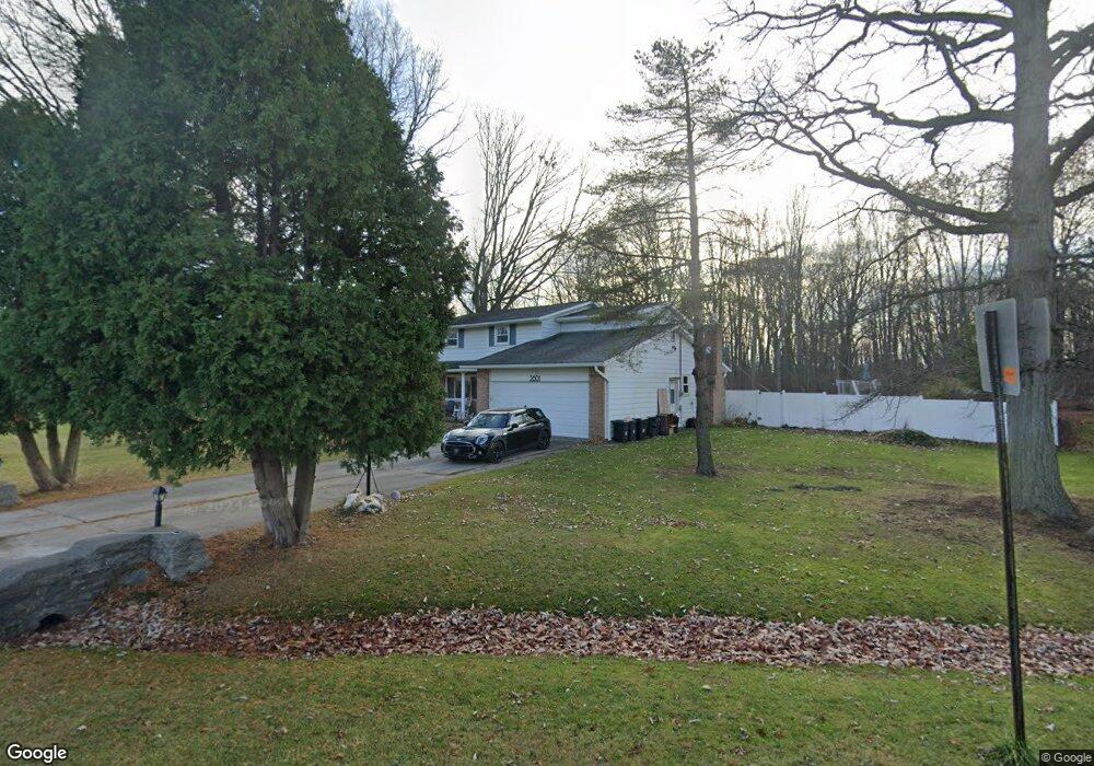
2801 Lewis Dr Port Huron, MI 48060
Estimated Value: $185,000 - $266,027
--
Bed
1
Bath
2,008
Sq Ft
$112/Sq Ft
Est. Value
About This Home
This home is located at 2801 Lewis Dr, Port Huron, MI 48060 and is currently estimated at $224,257, approximately $111 per square foot. 2801 Lewis Dr is a home located in St. Clair County with nearby schools including H.D. Crull Elementary School, Central Middle School, and Port Huron High School.
Ownership History
Date
Name
Owned For
Owner Type
Purchase Details
Closed on
Oct 30, 2018
Sold by
Loshaw Rebecca L
Bought by
Loshaw Leann and Loshaw John A
Current Estimated Value
Home Financials for this Owner
Home Financials are based on the most recent Mortgage that was taken out on this home.
Original Mortgage
$89,183
Outstanding Balance
$78,416
Interest Rate
4.99%
Mortgage Type
FHA
Estimated Equity
$145,841
Purchase Details
Closed on
Aug 11, 2018
Sold by
Loshaw Rebecca L
Bought by
Loshaw Leann and Loshaw John A
Home Financials for this Owner
Home Financials are based on the most recent Mortgage that was taken out on this home.
Original Mortgage
$89,183
Interest Rate
4.99%
Mortgage Type
FHA
Purchase Details
Closed on
Jan 10, 2007
Sold by
Loshaw John A and Loshaw Rebecca L
Bought by
Loshaw John A and Loshaw Rebecca L
Purchase Details
Closed on
Dec 21, 2005
Sold by
Odell Albert C and Odell Judith A
Bought by
Loshan John A
Create a Home Valuation Report for This Property
The Home Valuation Report is an in-depth analysis detailing your home's value as well as a comparison with similar homes in the area
Home Values in the Area
Average Home Value in this Area
Purchase History
| Date | Buyer | Sale Price | Title Company |
|---|---|---|---|
| Loshaw Leann | -- | -- | |
| Loshaw Leann | $106,601 | None Listed On Document | |
| Loshaw Leann | $107,000 | None Available | |
| Loshaw John A | -- | None Available | |
| Loshan John A | $42,000 | None Available |
Source: Public Records
Mortgage History
| Date | Status | Borrower | Loan Amount |
|---|---|---|---|
| Open | Loshaw Leann | $89,183 | |
| Closed | Loshaw Leann | $89,183 | |
| Previous Owner | Loshaw Leann | $89,183 |
Source: Public Records
Tax History Compared to Growth
Tax History
| Year | Tax Paid | Tax Assessment Tax Assessment Total Assessment is a certain percentage of the fair market value that is determined by local assessors to be the total taxable value of land and additions on the property. | Land | Improvement |
|---|---|---|---|---|
| 2025 | $2,161 | $95,900 | $0 | $0 |
| 2024 | $1,137 | $98,900 | $0 | $0 |
| 2023 | $1,939 | $91,500 | $0 | $0 |
| 2022 | $1,939 | $78,600 | $0 | $0 |
| 2021 | $1,775 | $72,900 | $0 | $0 |
| 2020 | $1,775 | $68,500 | $68,500 | $0 |
| 2019 | $1,868 | $59,500 | $0 | $0 |
| 2018 | $1,825 | $59,500 | $0 | $0 |
| 2017 | $1,784 | $54,300 | $0 | $0 |
| 2016 | $924 | $54,300 | $0 | $0 |
| 2015 | -- | $54,200 | $54,200 | $0 |
| 2014 | -- | $52,800 | $52,800 | $0 |
| 2013 | -- | $51,200 | $0 | $0 |
Source: Public Records
Map
Nearby Homes
- 2566 Lewis Dr
- 3255 Harrington Rd
- 2940 Westland Dr
- 2650 Alger Rd
- 2636 Locust St
- 3335 W Water St
- 2045 Yeager St
- 0000 Manuel St
- 0000 Henry St
- 0000 W Water St
- 00 Campau Ave
- 2475 Sharon Ln
- 2863 Beach Rd
- 3408 N Burwick Dr
- 146 Taylor St
- 3409 Ancient Dr
- 0000 Water St
- 1825 Kern St
- 1819 Kern St
- 2610 Strawberry Ln