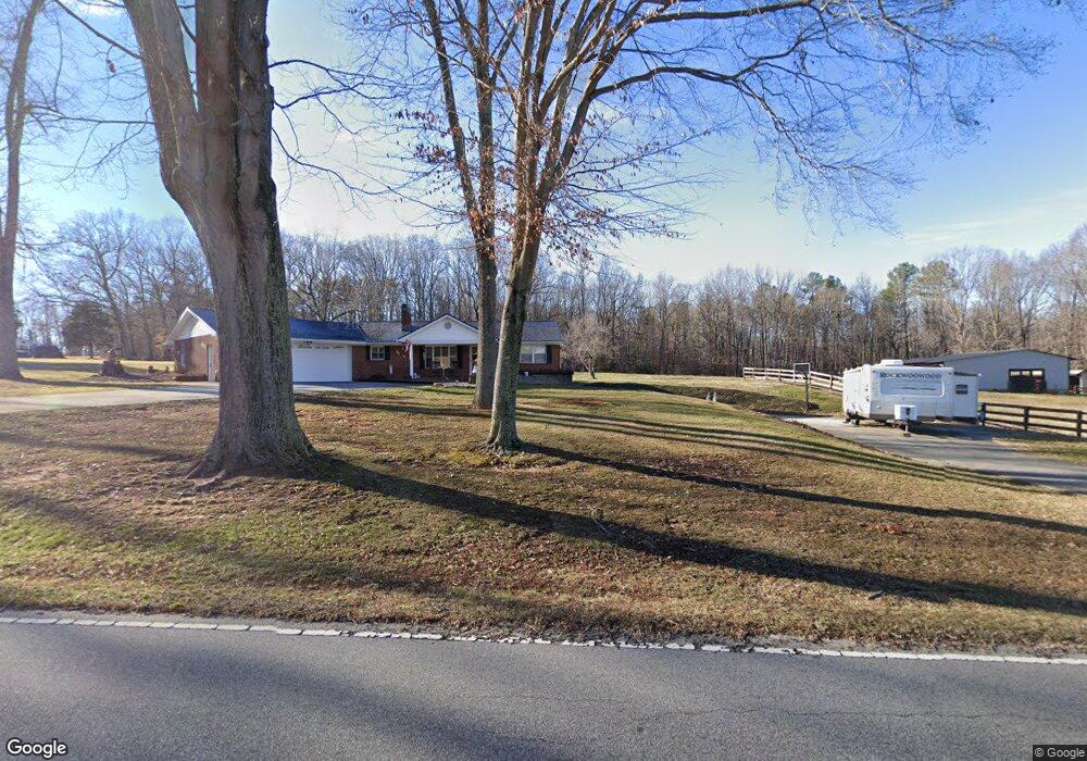
2802 Motsinger Rd Winston Salem, NC 27107
Estimated Value: $279,453 - $356,000
3
Beds
2
Baths
2,120
Sq Ft
$149/Sq Ft
Est. Value
About This Home
This home is located at 2802 Motsinger Rd, Winston Salem, NC 27107 and is currently estimated at $316,613, approximately $149 per square foot. 2802 Motsinger Rd is a home located in Davidson County with nearby schools including Midway Elementary School, Oak Grove Middle School, and Oak Grove High School.
Ownership History
Date
Name
Owned For
Owner Type
Purchase Details
Closed on
Apr 17, 2024
Sold by
Worley Carl Dean and Worley Betty Jean
Bought by
Worley Carl Dean and Worley Betty Jean
Current Estimated Value
Purchase Details
Closed on
Jan 20, 2004
Sold by
Worley Carl Dean and Worley Susan M
Bought by
Worley Carl Dean
Purchase Details
Closed on
Aug 22, 2000
Sold by
Anderson Nathan Ray
Bought by
Worley Carl Dean and Worley Susan M
Purchase Details
Closed on
Apr 1, 1996
Purchase Details
Closed on
Sep 1, 1987
Create a Home Valuation Report for This Property
The Home Valuation Report is an in-depth analysis detailing your home's value as well as a comparison with similar homes in the area
Home Values in the Area
Average Home Value in this Area
Purchase History
| Date | Buyer | Sale Price | Title Company |
|---|---|---|---|
| Worley Carl Dean | -- | None Listed On Document | |
| Worley Carl Dean | -- | None Listed On Document | |
| Worley Carl Dean | -- | None Listed On Document | |
| Worley Carl Dean | -- | -- | |
| Worley Carl Dean | $113,500 | -- | |
| -- | $4,000 | -- | |
| -- | $59,000 | -- |
Source: Public Records
Tax History Compared to Growth
Tax History
| Year | Tax Paid | Tax Assessment Tax Assessment Total Assessment is a certain percentage of the fair market value that is determined by local assessors to be the total taxable value of land and additions on the property. | Land | Improvement |
|---|---|---|---|---|
| 2025 | $1,229 | $189,090 | $0 | $0 |
| 2024 | $1,123 | $177,200 | $0 | $0 |
| 2023 | $1,141 | $177,200 | $0 | $0 |
| 2022 | $1,124 | $177,200 | $0 | $0 |
| 2021 | $1,125 | $177,200 | $0 | $0 |
| 2020 | $931 | $147,730 | $0 | $0 |
| 2019 | $945 | $147,730 | $0 | $0 |
| 2018 | $945 | $147,730 | $0 | $0 |
| 2017 | $945 | $147,730 | $0 | $0 |
| 2016 | $934 | $145,950 | $0 | $0 |
| 2015 | $934 | $145,950 | $0 | $0 |
| 2014 | $973 | $152,050 | $0 | $0 |
Source: Public Records
Map
Nearby Homes
- 2847 Motsinger Rd
- 2875 Motsinger Rd
- 2599 Old Thomasville Rd
- 3775 Friendship Ledford Rd
- 1584 Shady Grove Church Rd
- 156 Whitetail Ridge
- 193 Redcoat Ln
- 1225 Bethany Church Rd
- 111 Park Place Cir
- 470 Prescott Dr
- 1095 Bethany Church Rd
- 213 Red Hawk Ln
- 580 Tom Livengood Rd
- 844 Bethany Church Rd
- 184 New Forest Dr
- 387 Olde Lantern Dr
- 386 Olde Lantern Dr
- 168 New Forest Dr
- 150 New Forest Dr
- 134 New Forest Dr
- 2862 Motsinger Rd
- 2902 Motsinger Rd
- 2891 Motsinger Rd
- 2936 Motsinger Rd
- 2763 Motsinger Rd
- 2975 Motsinger Rd
- 2970 Old Thomasville Rd
- 3021 Motsinger Rd
- 3006 Old Thomasville Rd
- 2824 Old Thomasville Rd
- 2961 Old Thomasville Rd
- 2893 Old Thomasville Rd
- 2790 Old Thomasville Rd
- 3023 Old Thomasville Rd
- 2799 Old Thomasville Rd
- 2851 Old Thomasville Rd
- 2615 Motsinger Rd
- 421 Lake Dr
- 521 Lake Dr
- 2700 Old Thomasville Rd