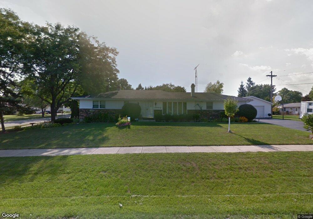
2802 N Evergreen Ave Waukegan, IL 60087
Estimated Value: $270,000 - $318,000
3
Beds
2
Baths
1,400
Sq Ft
$209/Sq Ft
Est. Value
About This Home
This home is located at 2802 N Evergreen Ave, Waukegan, IL 60087 and is currently estimated at $292,365, approximately $208 per square foot. 2802 N Evergreen Ave is a home located in Lake County with nearby schools including H R McCall Elementary School, Jack Benny Middle School, and Waukegan High School.
Ownership History
Date
Name
Owned For
Owner Type
Purchase Details
Closed on
Jul 15, 1997
Sold by
Cesnovar Albert J and Cesnovar Sue
Bought by
Guzman Rosel S and Guzman Maria W
Current Estimated Value
Home Financials for this Owner
Home Financials are based on the most recent Mortgage that was taken out on this home.
Original Mortgage
$125,875
Outstanding Balance
$18,745
Interest Rate
7.94%
Estimated Equity
$273,620
Create a Home Valuation Report for This Property
The Home Valuation Report is an in-depth analysis detailing your home's value as well as a comparison with similar homes in the area
Home Values in the Area
Average Home Value in this Area
Purchase History
| Date | Buyer | Sale Price | Title Company |
|---|---|---|---|
| Guzman Rosel S | $88,333 | -- |
Source: Public Records
Mortgage History
| Date | Status | Borrower | Loan Amount |
|---|---|---|---|
| Open | Guzman Rosel S | $125,875 |
Source: Public Records
Tax History Compared to Growth
Tax History
| Year | Tax Paid | Tax Assessment Tax Assessment Total Assessment is a certain percentage of the fair market value that is determined by local assessors to be the total taxable value of land and additions on the property. | Land | Improvement |
|---|---|---|---|---|
| 2024 | $5,937 | $89,709 | $7,729 | $81,980 |
| 2023 | $6,483 | $78,961 | $6,920 | $72,041 |
| 2022 | $6,483 | $72,313 | $7,123 | $65,190 |
| 2021 | $6,390 | $67,289 | $6,693 | $60,596 |
| 2020 | $6,426 | $62,687 | $6,235 | $56,452 |
| 2019 | $6,414 | $57,442 | $5,713 | $51,729 |
| 2018 | $6,486 | $56,546 | $6,738 | $49,808 |
| 2017 | $6,263 | $50,027 | $5,961 | $44,066 |
| 2016 | $5,791 | $43,472 | $5,180 | $38,292 |
| 2015 | $5,559 | $38,908 | $4,636 | $34,272 |
| 2014 | $4,412 | $31,619 | $3,811 | $27,808 |
| 2012 | $5,688 | $34,256 | $4,129 | $30,127 |
Source: Public Records
Map
Nearby Homes
- 12312 W Audrey Ave
- 3101 Country Club Ln
- 2708 Dana Ave
- 2705 Dana Ave
- 36955 N Garrick Ave
- 2713 Varonen Ave
- 3032 W Vermont Ave
- 2613 N Lewis Ave
- 3211 Rugby Ct
- 36245 N Green Bay Rd
- 2350 N Lewis Ave
- 1612 Whitney St
- 3320 Sunset Ave
- 1636 Rice St
- 12535 W Blanchard Rd
- 2928 W Country Club Ave
- 3000 W Country Club Ave
- 2946 W Country Club Ave
- 37966 N Cornell Rd
- 3411 N Lewis Ave
- 2708 Vercoe Ave
- 12116 Vercoe Ave
- 12141 W Graves Ave
- 12163 W Graves Ave
- 2705 Vercoe Ave
- 2718 Vercoe Ave
- 2711 Vercoe Ave
- 2650 Vercoe Ave
- 12106 Vercoe Ave
- 12105 W Graves Ave
- 2715 Vercoe Ave
- 12181 W Graves Ave
- 2728 N Evergreen Ave
- 12097 W Graves Ave
- 2727 N Evergreen Ave
- 2710 Adelaide Ave
- 2620 Vercoe Ave
- 2704 Adelaide Ave
- 12140 W Graves Ave