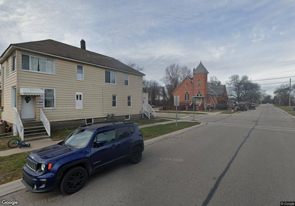
2802 Nern St Port Huron, MI 48060
Estimated Value: $142,000 - $243,638
--
Bed
2
Baths
1,760
Sq Ft
$97/Sq Ft
Est. Value
About This Home
This home is located at 2802 Nern St, Port Huron, MI 48060 and is currently estimated at $170,160, approximately $96 per square foot. 2802 Nern St is a home located in St. Clair County with nearby schools including Cleveland Elementary School, Central Middle School, and Port Huron High School.
Ownership History
Date
Name
Owned For
Owner Type
Purchase Details
Closed on
Feb 9, 2024
Sold by
Cyrus Paul
Bought by
Sai Chakri Enterprises Llc
Current Estimated Value
Purchase Details
Closed on
Dec 7, 2018
Sold by
Moncrief and Bernice
Bought by
Cyrus Paul
Home Financials for this Owner
Home Financials are based on the most recent Mortgage that was taken out on this home.
Original Mortgage
$59,500
Interest Rate
4.8%
Mortgage Type
New Conventional
Create a Home Valuation Report for This Property
The Home Valuation Report is an in-depth analysis detailing your home's value as well as a comparison with similar homes in the area
Home Values in the Area
Average Home Value in this Area
Purchase History
| Date | Buyer | Sale Price | Title Company |
|---|---|---|---|
| Sai Chakri Enterprises Llc | $135,000 | Ata National Title | |
| Cyrus Paul | $70,000 | Huron Title |
Source: Public Records
Mortgage History
| Date | Status | Borrower | Loan Amount |
|---|---|---|---|
| Previous Owner | Cyrus Paul | $59,500 |
Source: Public Records
Tax History Compared to Growth
Tax History
| Year | Tax Paid | Tax Assessment Tax Assessment Total Assessment is a certain percentage of the fair market value that is determined by local assessors to be the total taxable value of land and additions on the property. | Land | Improvement |
|---|---|---|---|---|
| 2025 | $1,878 | $61,800 | $0 | $0 |
| 2024 | $1,635 | $50,600 | $0 | $0 |
| 2023 | $1,372 | $44,900 | $0 | $0 |
| 2022 | $1,339 | $38,300 | $0 | $0 |
| 2021 | $1,095 | $30,000 | $0 | $0 |
| 2020 | $1,102 | $25,200 | $25,200 | $0 |
| 2019 | $1,083 | $16,800 | $0 | $0 |
| 2018 | $1,014 | $16,800 | $0 | $0 |
| 2017 | $809 | $13,700 | $0 | $0 |
| 2016 | $708 | $13,700 | $0 | $0 |
| 2015 | $790 | $13,600 | $13,600 | $0 |
| 2014 | $790 | $13,200 | $13,200 | $0 |
| 2013 | -- | $13,200 | $0 | $0 |
Source: Public Records
Map
Nearby Homes
- 2702 Vanness St
- 2600 Vanness St
- 2513 Vanness St
- 2511 Vanness St
- 2506 Vanness St
- 0 Dove Rd Unit G31368528
- 3230 Ashland Ct
- 9999 Cleveland Ave
- 3548 Cleveland St
- 2627 24th St
- 3104 Sturges St
- 3830 Military St
- 3136 Military St
- 9999 24th St
- Lot 3 24th St
- 000 Gratiot Blvd
- 00 Gratiot Blvd
- 69 Gratiot Blvd
- 3333 Ravenswood Rd Unit 4A
- 3333 Ravenswood Rd
- 2802 Nern St Unit 2802 John L Portis
- 2802 John L Portis Dr
- 0 Nern St Unit 5433659
- 0 Nern St Unit 5519461
- 0 Nern St Unit R216045516
- 0 Nern St Unit R216109040
- 2725 Nern St
- 2950 28th St
- 2945 28th St
- 2828 John L Portis Dr
- 2829 John L Portis Dr
- 2902 John L Portis Dr
- 2831 Nern St
- 2945 27th St
- 2902 John L Portis Dr
- 2831 John L Portis Dr
- 2931 28th St
- 2939 27th St
- 2932 John L Portis Dr
- 2929 28th St