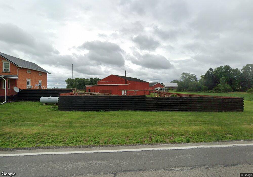
2802 State Route 4 Bellevue, OH 44811
Estimated Value: $264,297 - $393,000
1
Bed
2
Baths
2,095
Sq Ft
$151/Sq Ft
Est. Value
About This Home
This home is located at 2802 State Route 4, Bellevue, OH 44811 and is currently estimated at $316,074, approximately $150 per square foot. 2802 State Route 4 is a home located in Huron County with nearby schools including Bellevue Elementary School, Bellevue Middle School, and Bellevue High School.
Ownership History
Date
Name
Owned For
Owner Type
Purchase Details
Closed on
Sep 18, 2002
Bought by
Lyons Jeanette M
Current Estimated Value
Purchase Details
Closed on
Nov 9, 1998
Sold by
Mann Howard J
Bought by
Potts Jeanette M
Home Financials for this Owner
Home Financials are based on the most recent Mortgage that was taken out on this home.
Original Mortgage
$63,000
Interest Rate
6.72%
Mortgage Type
New Conventional
Purchase Details
Closed on
Aug 30, 1989
Bought by
Mann Howard J
Create a Home Valuation Report for This Property
The Home Valuation Report is an in-depth analysis detailing your home's value as well as a comparison with similar homes in the area
Home Values in the Area
Average Home Value in this Area
Purchase History
| Date | Buyer | Sale Price | Title Company |
|---|---|---|---|
| Lyons Jeanette M | -- | -- | |
| Potts Jeanette M | $85,000 | -- | |
| Mann Howard J | -- | -- |
Source: Public Records
Mortgage History
| Date | Status | Borrower | Loan Amount |
|---|---|---|---|
| Previous Owner | Potts Jeanette M | $63,000 |
Source: Public Records
Tax History Compared to Growth
Tax History
| Year | Tax Paid | Tax Assessment Tax Assessment Total Assessment is a certain percentage of the fair market value that is determined by local assessors to be the total taxable value of land and additions on the property. | Land | Improvement |
|---|---|---|---|---|
| 2024 | $3,237 | $86,490 | $12,810 | $73,680 |
| 2023 | $3,237 | $73,510 | $9,560 | $63,950 |
| 2022 | $3,319 | $73,510 | $9,560 | $63,950 |
| 2021 | $3,343 | $73,510 | $9,560 | $63,950 |
| 2020 | $2,893 | $60,500 | $9,330 | $51,170 |
| 2019 | $2,847 | $60,500 | $9,330 | $51,170 |
| 2018 | $2,809 | $60,500 | $9,330 | $51,170 |
| 2017 | $2,514 | $56,690 | $9,170 | $47,520 |
| 2016 | $2,441 | $56,690 | $9,170 | $47,520 |
| 2015 | $2,494 | $56,700 | $9,170 | $47,530 |
| 2014 | $2,387 | $52,120 | $9,170 | $42,950 |
| 2013 | $2,381 | $52,120 | $9,170 | $42,950 |
Source: Public Records
Map
Nearby Homes
- 7740 Washington St
- 3050 E Main St
- 140 Hobson St
- 111 Park Ave
- 501 E Center St
- 817 E Main St
- 736 Kilbourne St
- 720 Kilbourne St
- 881 Flat Rock Rd
- 206 Southwest St
- 140 Harkness St
- 129 Hamilton St
- 155 Ashford Ave
- 818 Bellaire Dr
- 154 Ashford Ave
- 803 Del Moy Ave
- 0 Hartland Dr
- 231 Lawrence St
- 126 Greenwood Heights
- 408 W Main St
- 2756 State Route 4
- 2874 Ohio 4
- 2943 State Route 4
- 2701 State Route 4
- 2946 State Route 4
- 6457 Seel Rd
- 6199 Seel Rd
- 6245 Seel Rd
- 6295 Seel Rd
- 2638 Ohio 4
- 2605 State Route 4
- 6453 Seel Rd
- 3083 State Route 4
- 3116 State Route 4
- 3151 Prairie Rd
- 3157 State Route 4
- 6465 Seel Rd
- 0 Seel Rd
- 2474 State Route 4
- 3183 Prairie Rd