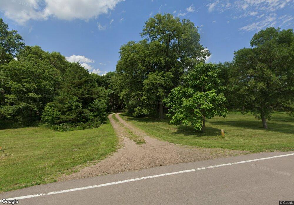
2802 W South Airport Rd Norfolk, NE 68701
Estimated Value: $202,000 - $354,423
4
Beds
2
Baths
2,128
Sq Ft
$132/Sq Ft
Est. Value
About This Home
This home is located at 2802 W South Airport Rd, Norfolk, NE 68701 and is currently estimated at $281,474, approximately $132 per square foot. 2802 W South Airport Rd is a home located in Madison County with nearby schools including Battle Creek Elementary School and Battle Creek High School.
Create a Home Valuation Report for This Property
The Home Valuation Report is an in-depth analysis detailing your home's value as well as a comparison with similar homes in the area
Home Values in the Area
Average Home Value in this Area
Tax History Compared to Growth
Tax History
| Year | Tax Paid | Tax Assessment Tax Assessment Total Assessment is a certain percentage of the fair market value that is determined by local assessors to be the total taxable value of land and additions on the property. | Land | Improvement |
|---|---|---|---|---|
| 2024 | $2,128 | $215,640 | $81,100 | $134,540 |
| 2023 | $2,853 | $185,278 | $63,770 | $121,508 |
| 2022 | $2,656 | $171,941 | $63,770 | $108,171 |
| 2021 | $2,325 | $151,734 | $53,770 | $97,964 |
| 2020 | $2,400 | $151,734 | $53,770 | $97,964 |
| 2019 | $2,347 | $143,514 | $45,550 | $97,964 |
| 2018 | $2,187 | $136,491 | $45,550 | $90,941 |
| 2017 | $2,028 | $125,938 | $41,440 | $84,498 |
| 2016 | $1,870 | $115,027 | $36,440 | $78,587 |
| 2015 | $1,875 | $115,027 | $36,440 | $78,587 |
| 2014 | $1,772 | $104,604 | $31,440 | $73,164 |
| 2013 | $1,857 | $104,604 | $31,440 | $73,164 |
Source: Public Records
Map
Nearby Homes
- 101 Frank Ave
- 5105 W Sherwood Rd
- 101 Adealia Ave
- 100 Henry Ave
- 101 Henry Ave
- 100 Helen Ave
- 2208 S 1st St
- 2500 W Pasewalk
- 808 Andy's Shore N
- 3407 Bradford Ave
- 3507 Bradford Ave
- 3406 Bradford Ave
- 3506 Bradford Ave
- 1104 Southern Dr
- 3307 W Michigan Ave
- 3206 W Michigan Ave
- 3205 W Michigan Ave
- 3306 W Michigan Ave
- 2500 W Cooper Dr **
- 1406 S 2nd St
