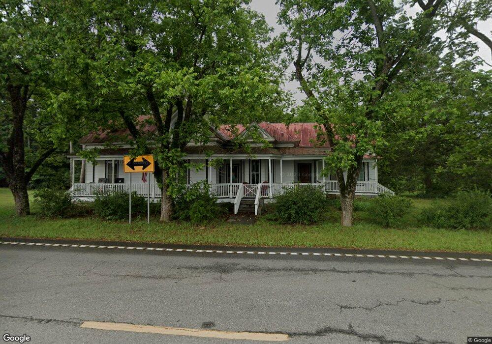
2803 S Highway 41 S Forsyth, GA 31029
Smarr NeighborhoodEstimated Value: $198,000 - $358,000
3
Beds
2
Baths
2,164
Sq Ft
$123/Sq Ft
Est. Value
About This Home
This home is located at 2803 S Highway 41 S, Forsyth, GA 31029 and is currently estimated at $265,559, approximately $122 per square foot. 2803 S Highway 41 S is a home with nearby schools including T.G. Scott Elementary School, Mary Persons High School, and Monroe Academy.
Ownership History
Date
Name
Owned For
Owner Type
Purchase Details
Closed on
Aug 7, 2024
Sold by
Bradshaw Laura C
Bought by
Copelan James E
Current Estimated Value
Purchase Details
Closed on
Oct 15, 2021
Sold by
Ham Ellen W
Bought by
Bradshaw David Michael
Home Financials for this Owner
Home Financials are based on the most recent Mortgage that was taken out on this home.
Original Mortgage
$99,275
Interest Rate
2.8%
Mortgage Type
Commercial
Purchase Details
Closed on
Jul 3, 2003
Bought by
Ham Ellen W
Create a Home Valuation Report for This Property
The Home Valuation Report is an in-depth analysis detailing your home's value as well as a comparison with similar homes in the area
Home Values in the Area
Average Home Value in this Area
Purchase History
| Date | Buyer | Sale Price | Title Company |
|---|---|---|---|
| Copelan James E | $227,500 | -- | |
| Bradshaw Laura C | -- | -- | |
| Bradshaw David Michael | $105,000 | -- | |
| Ham Ellen W | -- | -- |
Source: Public Records
Mortgage History
| Date | Status | Borrower | Loan Amount |
|---|---|---|---|
| Previous Owner | Bradshaw David Michael | $99,275 |
Source: Public Records
Tax History Compared to Growth
Tax History
| Year | Tax Paid | Tax Assessment Tax Assessment Total Assessment is a certain percentage of the fair market value that is determined by local assessors to be the total taxable value of land and additions on the property. | Land | Improvement |
|---|---|---|---|---|
| 2024 | $1,322 | $46,956 | $9,280 | $37,676 |
| 2023 | $1,179 | $41,796 | $9,280 | $32,516 |
| 2022 | $1,132 | $41,796 | $9,280 | $32,516 |
| 2021 | $61 | $34,160 | $9,280 | $24,880 |
| 2020 | $62 | $34,160 | $9,280 | $24,880 |
| 2019 | $63 | $34,160 | $9,280 | $24,880 |
| 2018 | $63 | $34,160 | $9,280 | $24,880 |
| 2017 | $993 | $34,160 | $9,280 | $24,880 |
| 2016 | $60 | $34,160 | $9,280 | $24,880 |
| 2015 | $57 | $34,160 | $9,280 | $24,880 |
| 2014 | $62 | $34,440 | $9,280 | $25,160 |
Source: Public Records
Map
Nearby Homes
- 0 Old Rumble Rd
- TRACTS 1 & 5 Old Rumble Rd
- TRACTS 2-4 Old Rumble Rd
- 1550 Charlie Benson Rd
- 22 Rabon Dr
- 14 Oak Valley Dr
- 122 Laurel Ridge
- Lot 27-A-1 Creekside Trail
- 905 Natures Trail
- Lot 26-A-1 Creekside Trail
- Lot 26-A-2 Creekside Trail
- Lot 15-A-1 Creekside Ln
- Lot 15-A-2 Creekside Ln
- 98 Adam Dr
- 88 Adam Dr
- 350 Lee King Rd
- 34 Kyndall Ln
- LOT 13 Creekside Ln
- 2803 U S 41
- 507 Evans Rd
- 35 Gose Rd
- 67 Gose Rd
- 2735 Highway 41 S
- 83 Gose Rd
- 96 Gose Rd
- 115 Gose Rd
- 2707 Highway 41 S
- 41 Gose Rd
- 125 Gose Rd
- 2598 New Providence Church Rd
- 2598 New Providence Church Rd Unit 1
- 2598 New Providence Church Rd Unit PARCEL 1
- 112 Evans Rd
- 165 Gose Rd
- 2829 Highway 41 S
- 40 Copelans Corner
- 162 Evans Rd
- 2619 U S 41