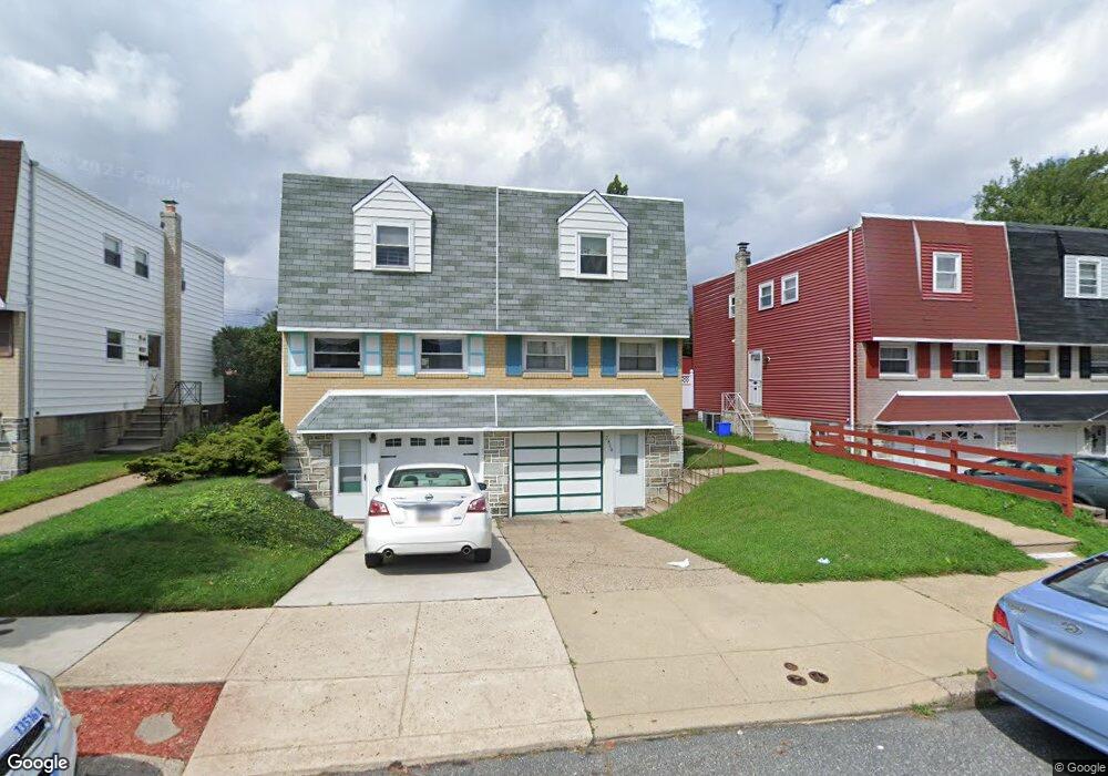
2804 Chase Rd Philadelphia, PA 19152
Pennypack NeighborhoodEstimated Value: $290,000 - $318,099
--
Bed
--
Bath
1,164
Sq Ft
$263/Sq Ft
Est. Value
About This Home
This home is located at 2804 Chase Rd, Philadelphia, PA 19152 and is currently estimated at $306,525, approximately $263 per square foot. 2804 Chase Rd is a home with nearby schools including Lincoln High School, Robert B. Pollock School, and Meehan Austin Middle School.
Ownership History
Date
Name
Owned For
Owner Type
Purchase Details
Closed on
Dec 15, 2006
Sold by
Katz Banks Robin F
Bought by
Foley John J and Wiesner Stacey
Current Estimated Value
Home Financials for this Owner
Home Financials are based on the most recent Mortgage that was taken out on this home.
Original Mortgage
$140,800
Outstanding Balance
$83,854
Interest Rate
6.24%
Mortgage Type
Purchase Money Mortgage
Estimated Equity
$222,671
Purchase Details
Closed on
Oct 7, 2005
Sold by
Katz Morris and Katz Anne
Bought by
Katz Banks Robin Faye
Create a Home Valuation Report for This Property
The Home Valuation Report is an in-depth analysis detailing your home's value as well as a comparison with similar homes in the area
Home Values in the Area
Average Home Value in this Area
Purchase History
| Date | Buyer | Sale Price | Title Company |
|---|---|---|---|
| Foley John J | $176,000 | None Available | |
| Katz Banks Robin Faye | -- | None Available |
Source: Public Records
Mortgage History
| Date | Status | Borrower | Loan Amount |
|---|---|---|---|
| Open | Foley John J | $140,800 |
Source: Public Records
Tax History Compared to Growth
Tax History
| Year | Tax Paid | Tax Assessment Tax Assessment Total Assessment is a certain percentage of the fair market value that is determined by local assessors to be the total taxable value of land and additions on the property. | Land | Improvement |
|---|---|---|---|---|
| 2025 | $3,353 | $297,600 | $59,520 | $238,080 |
| 2024 | $3,353 | $297,600 | $59,520 | $238,080 |
| 2023 | $3,353 | $239,500 | $47,900 | $191,600 |
| 2022 | $2,045 | $194,500 | $47,900 | $146,600 |
| 2021 | $2,675 | $0 | $0 | $0 |
| 2020 | $2,675 | $0 | $0 | $0 |
| 2019 | $2,518 | $0 | $0 | $0 |
| 2018 | $1,937 | $0 | $0 | $0 |
| 2017 | $2,357 | $0 | $0 | $0 |
| 2016 | $1,937 | $0 | $0 | $0 |
| 2015 | $1,855 | $0 | $0 | $0 |
| 2014 | -- | $168,400 | $61,336 | $107,064 |
| 2012 | -- | $21,440 | $3,502 | $17,938 |
Source: Public Records
Map
Nearby Homes
- 2742 Welsh Rd
- 2777 Welsh Rd
- 2831 Chase Rd
- 2648 Maxwell St
- 2633 Maxwell St
- 8860 Manchester St
- 2831 Sebring Rd
- 2738 Maxwell St
- 8817 R Danbury St
- 9109 Revere St
- 8920 Maxwell Place
- 2710 Riverhouse Rd
- 2630 Taunton St
- 8800 Danbury St
- 9044 Brous Ave
- 9028 Brous Ave
- 8718 Hargrave St
- 8945 Haven Place
- 2713 Clayton St
- 9009 Brous Ave