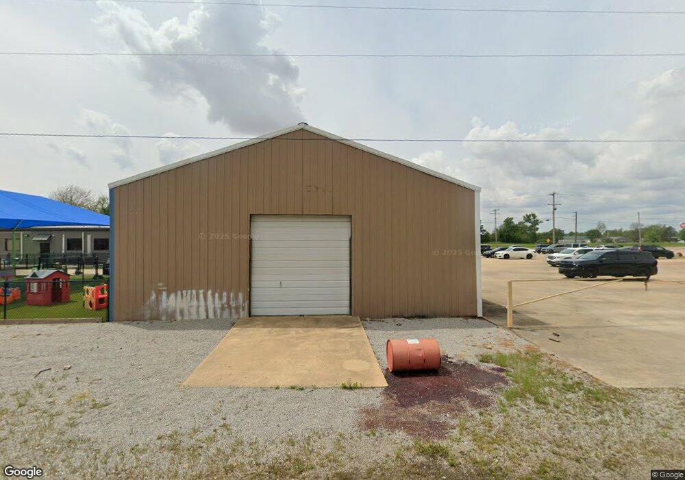
2804 Highway 67 Walnut Ridge, AR 72476
Estimated Value: $157,222 - $188,000
--
Bed
2
Baths
1,945
Sq Ft
$89/Sq Ft
Est. Value
About This Home
This home is located at 2804 Highway 67, Walnut Ridge, AR 72476 and is currently estimated at $172,306, approximately $88 per square foot. 2804 Highway 67 is a home located in Lawrence County with nearby schools including Walnut Ridge Elementary School and Walnut Ridge High School.
Ownership History
Date
Name
Owned For
Owner Type
Purchase Details
Closed on
Aug 30, 2006
Sold by
Crisler Darrell and Crisler Tonya
Bought by
Huskey Claude and Huskey Lois
Current Estimated Value
Purchase Details
Closed on
Jan 20, 1998
Bought by
Crisler Darrel and Crisler Stan
Purchase Details
Closed on
Jun 24, 1996
Bought by
Wilkens Kenneth D and Wilkens Doris
Purchase Details
Closed on
Mar 1, 1992
Bought by
Snapp Lois P Trust
Create a Home Valuation Report for This Property
The Home Valuation Report is an in-depth analysis detailing your home's value as well as a comparison with similar homes in the area
Home Values in the Area
Average Home Value in this Area
Purchase History
| Date | Buyer | Sale Price | Title Company |
|---|---|---|---|
| Huskey Claude | $60,000 | None Available | |
| Crisler Darrel | $75,000 | -- | |
| Wilkens Kenneth D | $50,000 | -- | |
| Snapp Lois P Trust | -- | -- |
Source: Public Records
Tax History Compared to Growth
Tax History
| Year | Tax Paid | Tax Assessment Tax Assessment Total Assessment is a certain percentage of the fair market value that is determined by local assessors to be the total taxable value of land and additions on the property. | Land | Improvement |
|---|---|---|---|---|
| 2024 | $186 | $24,708 | $3,000 | $21,708 |
| 2023 | $633 | $24,708 | $3,000 | $21,708 |
| 2022 | $311 | $16,410 | $1,200 | $15,210 |
| 2021 | $311 | $16,410 | $1,200 | $15,210 |
| 2020 | $311 | $16,410 | $1,200 | $15,210 |
| 2019 | $311 | $16,410 | $1,200 | $15,210 |
| 2018 | $336 | $16,410 | $1,200 | $15,210 |
| 2017 | $283 | $15,320 | $1,200 | $14,120 |
| 2016 | $283 | $15,320 | $1,200 | $14,120 |
| 2015 | $283 | $15,320 | $1,200 | $14,120 |
| 2014 | $283 | $15,320 | $1,200 | $14,120 |
Source: Public Records
Map
Nearby Homes
- 107 NW Inman Dr
- 4.16 ac (+/-) 26-17-01e Highway 67
- 100 Charleston Dr
- 1 Acre Hwy 67 B
- 1 Acre Hwy 67b
- 511 Pocahontas Rd
- 906 NW 6th St
- 823 NW 5th St
- 815 NW 3rd St
- 1080 Cr 438
- 620 W Main St
- 420 NW 3rd St
- 1402 Azalea Ave
- 202 W Hazel St
- 601 Stewart St
- 1409 Magnolia Ave
- 317 W Vine St
- 208 NE Front St
- 1309 Holly St
- 305 SW 3rd St
- 105 NW Inman Dr
- 104 NW Inman Dr
- 106 NW Inman Dr
- 108 NW Inman Dr
- 0 NW Inman Dr
- 604 Freedom Dr
- 623 Pocahontas Rd
- 3206 Highway 67
- 814 Hwy 67 N
- 603 Freedom Dr
- 618 Pocahontas Rd
- 704 Nazarene Dr
- 3208 Highway 67
- 3208 Highway 67
- 706 Nazarene Dr
- 602 Freedom Dr
- 601 Freedom Dr
- 616 Pocahontas Rd
- 504 Liberty Dr
- 0 Barbara Unit 17006014