2804 Walnut Ridge Rd Seymour, MO 65746
Estimated Value: $182,000 - $374,794
--
Bed
--
Bath
1,323
Sq Ft
$192/Sq Ft
Est. Value
About This Home
This home is located at 2804 Walnut Ridge Rd, Seymour, MO 65746 and is currently estimated at $254,265, approximately $192 per square foot. 2804 Walnut Ridge Rd is a home located in Webster County with nearby schools including Seymour Elementary School, Seymour Middle School, and Seymour High School.
Ownership History
Date
Name
Owned For
Owner Type
Purchase Details
Closed on
Jul 16, 2020
Sold by
United States Of America
Bought by
Zook Eli D and Zook Fannie E
Current Estimated Value
Purchase Details
Closed on
Mar 19, 2020
Sold by
Throne Curtis Wayne
Bought by
United States Of America
Purchase Details
Closed on
Nov 22, 2016
Sold by
Triple A Land Co Llc
Bought by
Throne Curtis Wayne and Throne Raven Elizabeth
Purchase Details
Closed on
May 18, 2012
Sold by
Lafferty Daniel W and Lafferty Julia
Bought by
Cantrell Kenneth and Cantrell Bridgett
Create a Home Valuation Report for This Property
The Home Valuation Report is an in-depth analysis detailing your home's value as well as a comparison with similar homes in the area
Home Values in the Area
Average Home Value in this Area
Purchase History
| Date | Buyer | Sale Price | Title Company |
|---|---|---|---|
| Zook Eli D | $210,000 | -- | |
| United States Of America | $201,354 | -- | |
| Throne Curtis Wayne | -- | -- | |
| Cantrell Kenneth | -- | -- |
Source: Public Records
Tax History Compared to Growth
Tax History
| Year | Tax Paid | Tax Assessment Tax Assessment Total Assessment is a certain percentage of the fair market value that is determined by local assessors to be the total taxable value of land and additions on the property. | Land | Improvement |
|---|---|---|---|---|
| 2024 | $942 | $22,330 | $0 | $0 |
| 2023 | $925 | $22,330 | $0 | $0 |
| 2022 | $925 | $22,330 | $0 | $0 |
| 2021 | $456 | $11,020 | $0 | $0 |
| 2020 | $336 | $7,710 | $0 | $0 |
| 2019 | $372 | $10,300 | $0 | $0 |
| 2018 | $374 | $10,350 | $0 | $0 |
| 2017 | $242 | $6,700 | $0 | $0 |
| 2016 | $203 | $5,560 | $0 | $0 |
| 2015 | $176 | $5,560 | $0 | $0 |
| 2012 | -- | $7,390 | $0 | $0 |
Source: Public Records
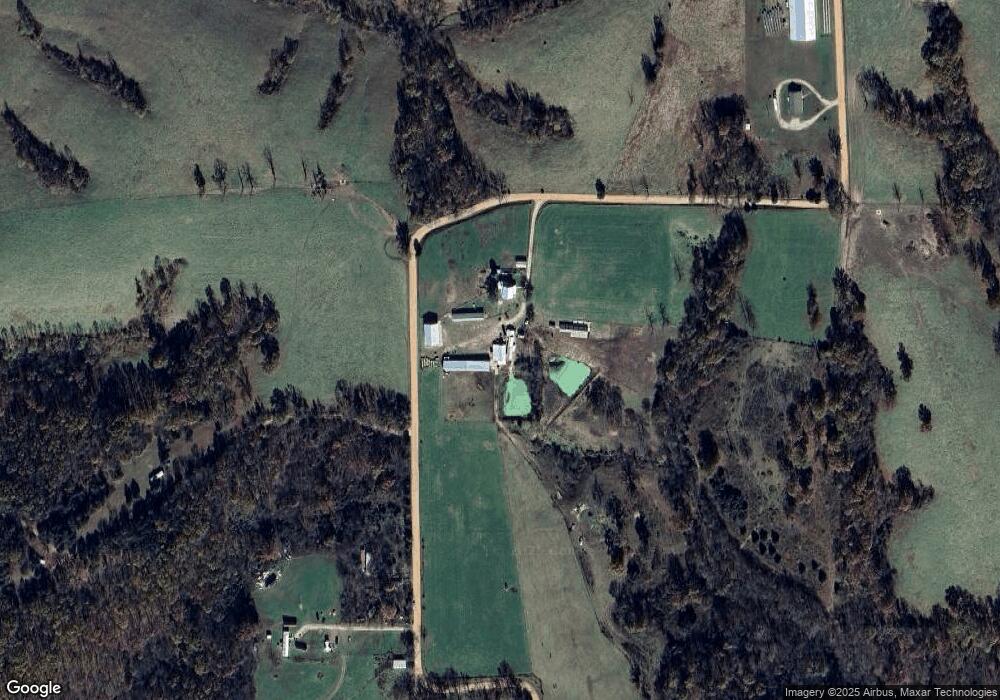
Map
Nearby Homes
- 300 Partners Dr
- 792 Frog Pond Rd
- 5679 State Highway Bb
- 5798 State Highway Bb
- 18313 State Highway Bb
- 107 Melinda St
- 1048 W Thoroughfare St
- 285 Velma Dr
- 0000 Lots Between K Hwy and Water St
- 270 Velma Dr
- 1311 W Clinton Ave
- 29 Enterprise Dr Unit Tract 8,9,10 &11
- 244 N Karen Cir
- 736 Boardwalk
- 412 S Court St
- 671 Boardwalk
- 000 Dunning Dr Unit Lot 4
- 000 Dunning Dr Unit Lot 7
- 000 Dunning Dr Unit Lot 2
- 000 Dunning Dr Unit Lot 5
- 237 Robin Dr
- 2804 Walnut
- 000 Tbd Paradise Ridge Dr
- 138 Toland Ridge Dr
- 2288 Walnut Ridge Rd
- 3231 Walnut Ridge Rd
- 187 Paradise
- 3196 Walnut Ridge Rd
- 000 Tbd Walnut Ridge Rd
- 2245 Walnut Ridge Rd
- 3387 Walnut Ridge Rd
- 2188 Walnut Ridge Rd
- 0 Walnut Ridge Rd Unit 11304728
- 0 Walnut Ridge Rd
- 3443 Walnut Ridge Rd
- 1918 Burnett Rd
- 2468 Burnett Rd
- 1950 Burnett Rd
- 1500 Burnett Rd
- 1376 Walnut Ridge Rd