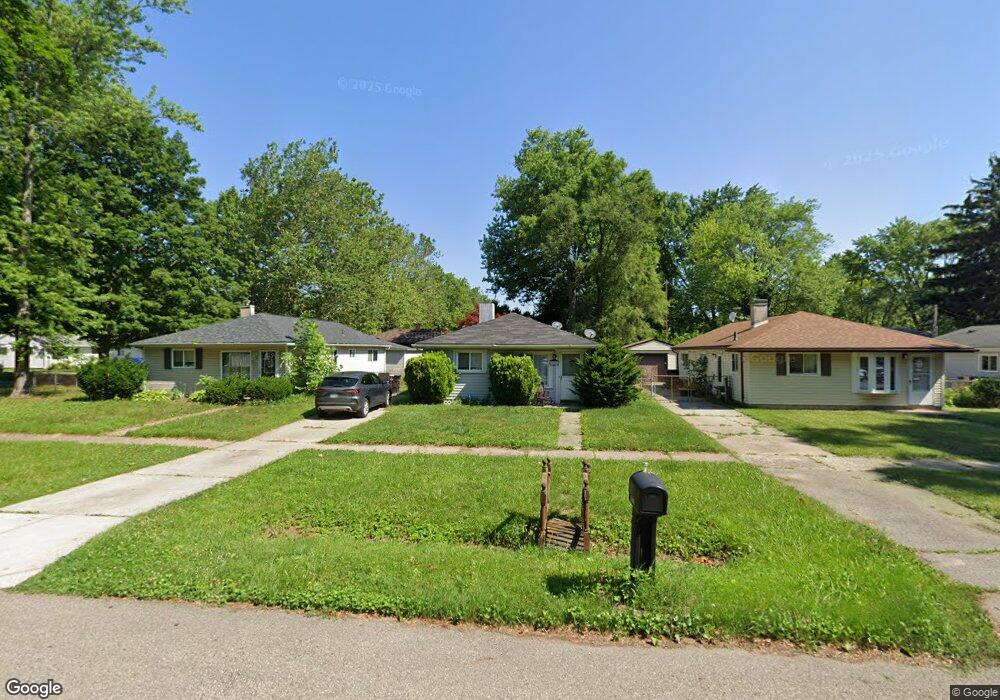
28042 Curtis Rd Livonia, MI 48152
Estimated Value: $168,206 - $211,000
--
Bed
1
Bath
1,008
Sq Ft
$189/Sq Ft
Est. Value
About This Home
This home is located at 28042 Curtis Rd, Livonia, MI 48152 and is currently estimated at $190,802, approximately $189 per square foot. 28042 Curtis Rd is a home located in Wayne County with nearby schools including Clarenceville High School, Fostering Leadership Academy, and Distinctive College Prep.
Ownership History
Date
Name
Owned For
Owner Type
Purchase Details
Closed on
Jun 7, 2004
Sold by
Fannie Mae
Bought by
Cannon Patrick T
Current Estimated Value
Purchase Details
Closed on
Mar 8, 2004
Sold by
Indymac Bank Fsb
Bought by
Federal National Mortgage Association
Purchase Details
Closed on
Oct 1, 2003
Sold by
Wilson Vina D
Bought by
Indymac Bank Fsb
Purchase Details
Closed on
May 30, 1997
Sold by
Hemenway Debra L and Hemenway Craig
Bought by
Susan M Kryda
Create a Home Valuation Report for This Property
The Home Valuation Report is an in-depth analysis detailing your home's value as well as a comparison with similar homes in the area
Home Values in the Area
Average Home Value in this Area
Purchase History
| Date | Buyer | Sale Price | Title Company |
|---|---|---|---|
| Cannon Patrick T | $118,000 | Greco | |
| Federal National Mortgage Association | -- | Greco | |
| Indymac Bank Fsb | $127,403 | -- | |
| Susan M Kryda | $87,000 | -- |
Source: Public Records
Tax History Compared to Growth
Tax History
| Year | Tax Paid | Tax Assessment Tax Assessment Total Assessment is a certain percentage of the fair market value that is determined by local assessors to be the total taxable value of land and additions on the property. | Land | Improvement |
|---|---|---|---|---|
| 2025 | $1,391 | $73,700 | $0 | $0 |
| 2024 | $1,391 | $69,600 | $0 | $0 |
| 2023 | $1,321 | $62,900 | $0 | $0 |
| 2022 | $1,766 | $55,900 | $0 | $0 |
| 2021 | $1,716 | $51,400 | $0 | $0 |
| 2019 | $1,668 | $45,300 | $0 | $0 |
| 2018 | $1,148 | $38,000 | $0 | $0 |
| 2017 | $953 | $35,600 | $0 | $0 |
| 2016 | $1,536 | $34,600 | $0 | $0 |
| 2015 | $2,739 | $31,720 | $0 | $0 |
| 2012 | -- | $27,800 | $8,550 | $19,250 |
Source: Public Records
Map
Nearby Homes
- 18071 Floral St
- 18001 Floral St
- 18061 Lathers St
- 18404 Deering St
- 18206 Foch St
- 18411 Foch St
- 18590 Pershing Ave
- 18913 Gillman St
- 18884 Lathers St
- 18570 Pershing St
- 18626 Inkster Rd
- 27427 Vargo St
- 18851 Poinciana
- 19169 Inkster Rd
- 17612 Denby
- 29507 Mark Ln
- 27030 W 6 Mile Rd
- 29560 Clarita St Unit 11
- 18690 Fox
- 19435 Inkster Rd
- 28034 Curtis Rd
- 28050 Curtis Rd
- 28022 Curtis Rd
- 18230 Gillman St
- 18183 Floral St
- 18238 Gillman St
- 28012 Curtis Rd
- 18195 Floral St
- 18246 Gillman St
- 18207 Floral St
- 18254 Gillman St
- 18180 Floral St
- 18181 Floral St
- 18221 Floral St
- 18215 Gillman St
- 18223 Gillman St
- 18203 Gillman St
- 18231 Gillman St
- 18262 Gillman St
- 18239 Gillman St