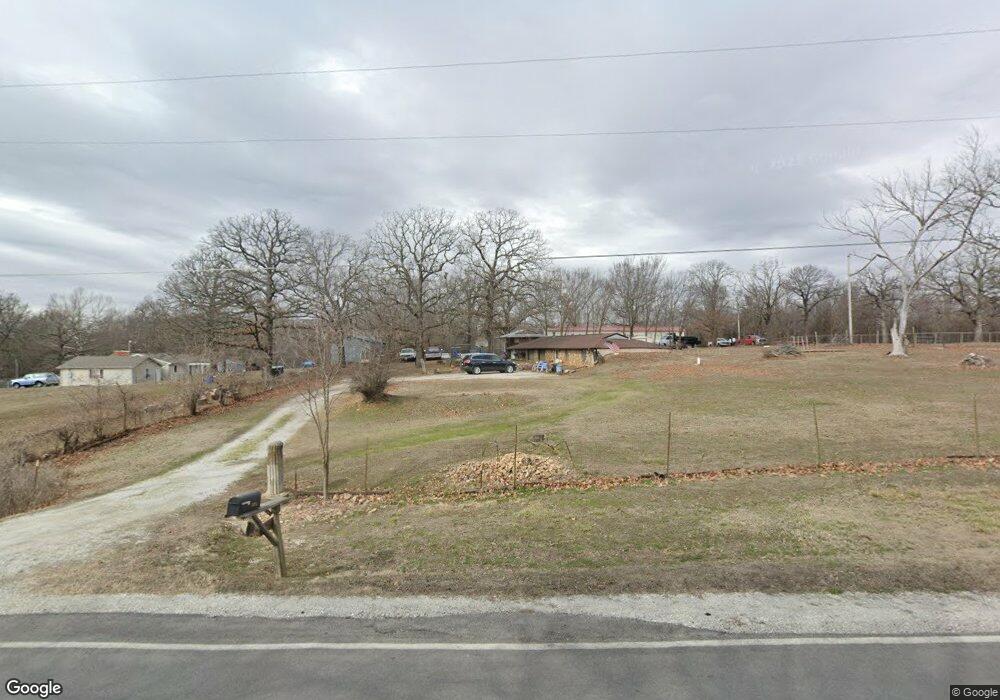
28049 Foxtail Ln Joplin, MO 64801
Estimated Value: $98,843 - $408,000
2
Beds
1
Bath
2,680
Sq Ft
$87/Sq Ft
Est. Value
About This Home
This home is located at 28049 Foxtail Ln, Joplin, MO 64801 and is currently estimated at $232,711, approximately $86 per square foot. 28049 Foxtail Ln is a home located in Jasper County with nearby schools including Carl Junction Primary School (K-1), Carl Junction Intermediate School, and Carl Junction Primary School (2-3).
Ownership History
Date
Name
Owned For
Owner Type
Purchase Details
Closed on
Sep 19, 2024
Sold by
David L Mclean Revocable Trust and Mclean David
Bought by
Mclean David L and Mclean Tabitha
Current Estimated Value
Purchase Details
Closed on
Sep 10, 2020
Sold by
Ellis Bill E and Ellis Linda J
Bought by
Mclean David and Bettes Tanitha
Purchase Details
Closed on
Aug 23, 2005
Sold by
Arvest Bank
Bought by
Coss William J and Coss Timmie L
Home Financials for this Owner
Home Financials are based on the most recent Mortgage that was taken out on this home.
Original Mortgage
$37,000
Interest Rate
7%
Mortgage Type
Purchase Money Mortgage
Purchase Details
Closed on
Mar 23, 2005
Sold by
Haizlip Trenton and Haizlip Franki
Bought by
Johnson Wayne M and Johnson Krista G
Home Financials for this Owner
Home Financials are based on the most recent Mortgage that was taken out on this home.
Original Mortgage
$71,000
Interest Rate
5.71%
Mortgage Type
Purchase Money Mortgage
Create a Home Valuation Report for This Property
The Home Valuation Report is an in-depth analysis detailing your home's value as well as a comparison with similar homes in the area
Purchase History
| Date | Buyer | Sale Price | Title Company |
|---|---|---|---|
| Mclean David L | -- | None Listed On Document | |
| Mclean David | -- | Misc Company | |
| Coss William J | -- | -- | |
| Johnson Wayne M | -- | -- |
Source: Public Records
Mortgage History
| Date | Status | Borrower | Loan Amount |
|---|---|---|---|
| Previous Owner | Coss William J | $37,000 | |
| Previous Owner | Johnson Wayne M | $71,000 |
Source: Public Records
Tax History
| Year | Tax Paid | Tax Assessment Tax Assessment Total Assessment is a certain percentage of the fair market value that is determined by local assessors to be the total taxable value of land and additions on the property. | Land | Improvement |
|---|---|---|---|---|
| 2025 | $162 | $5,570 | $2,210 | $3,360 |
| 2024 | $162 | $3,240 | $2,210 | $1,030 |
| 2023 | $162 | $3,240 | $2,210 | $1,030 |
| 2022 | $163 | $3,240 | $2,210 | $1,030 |
| 2021 | $162 | $3,240 | $2,210 | $1,030 |
| 2020 | $154 | $3,030 | $2,210 | $820 |
| 2019 | $146 | $3,030 | $2,210 | $820 |
| 2018 | $241 | $5,030 | $0 | $0 |
| 2017 | $242 | $5,030 | $0 | $0 |
| 2016 | $240 | $5,030 | $0 | $0 |
| 2015 | $235 | $5,030 | $0 | $0 |
| 2014 | $235 | $5,030 | $0 | $0 |
Source: Public Records
Map
Nearby Homes
- 4570 N Black Cat Rd
- 4750 N Black Cat Rd
- 29114 Forest Ln
- 28834 Fir Rd
- 27750 Green Hills Ln
- 2855 N Regency Dr
- 910 Silver Oaks
- 908 Silver Oaks Dr
- 907 Silver Oaks Dr
- 901 Black Thorn Dr
- 708 Danica Jo Ln
- 6682 Joplin St Unit CJ
- 807 Copper Oaks Dr
- 703 Joseph Dylan Ln
- 913 W Briarbrook Ln
- xxx County Road 300
- 1802 W Redbud Dr
- 2198 W Zora St
- 706 W Briarbrook Ln
- 1704 Redbud Dr
- 4090 N Black Cat Rd
- 3982 N Black Cat Rd
- 4345 W Fountain Rd
- 4100 N Black Cat Rd
- 4065 N Black Cat Rd
- 4213 Foxgrove Ln
- 4214 Foxgrove Ln
- 3840 N Black Cat Rd
- 4195 W Fountain Rd
- 4202 W Fountain Rd
- 4611 W Fountain Rd
- 4165 W Fountain Rd
- 27969 Fishers Ln
- 4586 W Fountain Rd
- 4621 W Fountain Rd
- 4257 N Black Cat Rd
- 3759 N Black Cat Rd
- 4263 N Black Cat Rd
- 4269 N Black Cat Rd
- 4087 W Fountain Rd
Your Personal Tour Guide
Ask me questions while you tour the home.