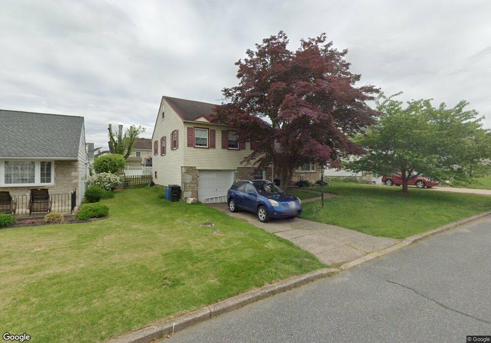
2805 Hargrave St Philadelphia, PA 19136
Pennypack NeighborhoodEstimated Value: $443,591 - $545,000
--
Bed
--
Bath
1,901
Sq Ft
$255/Sq Ft
Est. Value
About This Home
This home is located at 2805 Hargrave St, Philadelphia, PA 19136 and is currently estimated at $483,898, approximately $254 per square foot. 2805 Hargrave St is a home located in Philadelphia County with nearby schools including Lincoln High School, Robert B. Pollock School, and Meehan Austin Middle School.
Ownership History
Date
Name
Owned For
Owner Type
Purchase Details
Closed on
Aug 24, 2000
Sold by
Matynka Raymond and Matynka Diane
Bought by
Betzner David and Betzner Caroline
Current Estimated Value
Home Financials for this Owner
Home Financials are based on the most recent Mortgage that was taken out on this home.
Original Mortgage
$152,150
Outstanding Balance
$54,545
Interest Rate
8.06%
Estimated Equity
$429,353
Create a Home Valuation Report for This Property
The Home Valuation Report is an in-depth analysis detailing your home's value as well as a comparison with similar homes in the area
Home Values in the Area
Average Home Value in this Area
Purchase History
| Date | Buyer | Sale Price | Title Company |
|---|---|---|---|
| Betzner David | $179,900 | -- |
Source: Public Records
Mortgage History
| Date | Status | Borrower | Loan Amount |
|---|---|---|---|
| Open | Betzner David | $152,150 |
Source: Public Records
Tax History Compared to Growth
Tax History
| Year | Tax Paid | Tax Assessment Tax Assessment Total Assessment is a certain percentage of the fair market value that is determined by local assessors to be the total taxable value of land and additions on the property. | Land | Improvement |
|---|---|---|---|---|
| 2025 | $5,130 | $430,800 | $86,100 | $344,700 |
| 2024 | $5,130 | $430,800 | $86,100 | $344,700 |
| 2023 | $5,130 | $366,500 | $73,300 | $293,200 |
| 2022 | $4,180 | $366,500 | $73,300 | $293,200 |
| 2021 | $4,180 | $0 | $0 | $0 |
| 2020 | $4,180 | $0 | $0 | $0 |
| 2019 | $4,002 | $0 | $0 | $0 |
| 2018 | $3,758 | $0 | $0 | $0 |
| 2017 | $3,758 | $0 | $0 | $0 |
| 2016 | $3,758 | $0 | $0 | $0 |
| 2015 | $3,497 | $0 | $0 | $0 |
| 2014 | -- | $268,500 | $100,757 | $167,743 |
| 2012 | -- | $37,472 | $9,124 | $28,348 |
Source: Public Records
Map
Nearby Homes
- 8027 Narvon St
- 2934 Walnut Hill St
- 3100 Welsh Rd
- 3165 Weston St
- 2711 Winchester Ave
- 2759 Axe Factory Rd
- 3170 Weston St
- 8142 Lister St
- 4R & 6 Old Ashton Rd
- 2740 Mower St
- 8200 Colfax St
- 2876 Walnut Hill St
- 8209 Albion St
- 2803 Rhawn St
- 2713 Clayton St
- 2755 Rhawn St
- 2949 Joey Dr
- 8718 Hargrave St
- 8130 Farnsworth St
- 2727 Rhawn St
- 2803 Hargrave St
- 2807 Hargrave St
- 2804 Chelfield St
- 2802 Chelfield St
- 2809 Hargrave St
- 2801 Hargrave St
- 2806 Chelfield St
- 2804 Hargrave St
- 2802 Hargrave St
- 2800 Chelfield St
- 2806 Hargrave St
- 2808 Chelfield St
- 2811 Hargrave St
- 2800 Hargrave St
- 2808 Hargrave St
- 2810 Chelfield St
- 8001 Lenola St
- 2810 Hargrave St
- 2813 Hargrave St
- 8000 Colfax St