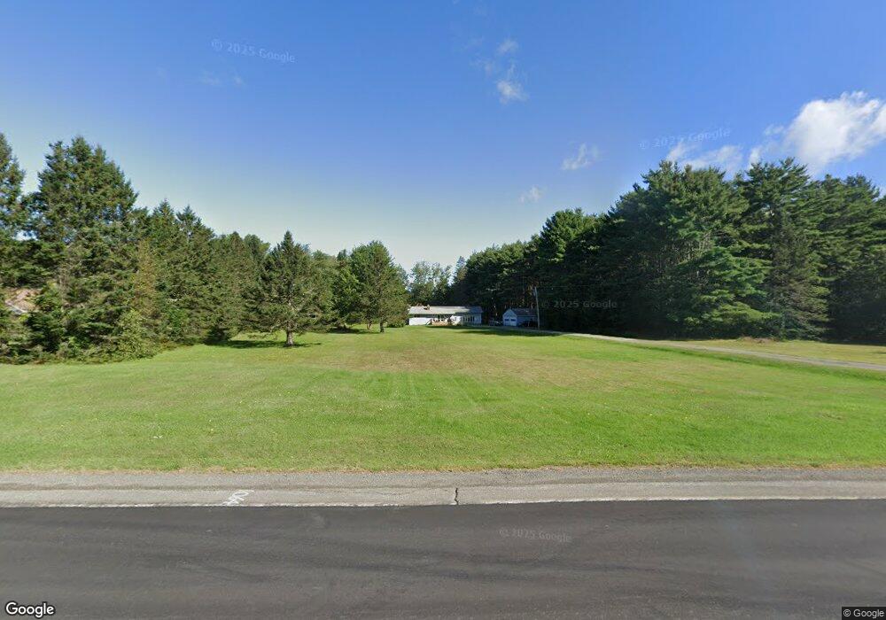
2805 Route 2 Hermon, ME 04401
Estimated Value: $292,781 - $374,000
2
Beds
1
Bath
1,584
Sq Ft
$205/Sq Ft
Est. Value
About This Home
This home is located at 2805 Route 2, Hermon, ME 04401 and is currently estimated at $325,445, approximately $205 per square foot. 2805 Route 2 is a home located in Penobscot County with nearby schools including Patricia A Duran School, Hermon Middle School, and Hermon High School.
Ownership History
Date
Name
Owned For
Owner Type
Purchase Details
Closed on
May 13, 2011
Sold by
Mcleod Sarah E
Bought by
Mcleod Sarah E and Frey Michael A
Current Estimated Value
Purchase Details
Closed on
Feb 5, 2009
Sold by
Department Of Housing & Urban Dev
Bought by
Mcleod Sarah E and Mcleod Theodore R
Home Financials for this Owner
Home Financials are based on the most recent Mortgage that was taken out on this home.
Original Mortgage
$68,240
Outstanding Balance
$42,042
Interest Rate
5.2%
Mortgage Type
FHA
Estimated Equity
$283,403
Create a Home Valuation Report for This Property
The Home Valuation Report is an in-depth analysis detailing your home's value as well as a comparison with similar homes in the area
Home Values in the Area
Average Home Value in this Area
Purchase History
We collect this data history from publicly available records. To have your information removed, we recommend requesting removal directly through your county’s website.
| Date | Buyer | Sale Price | Title Company |
|---|---|---|---|
| Mcleod Sarah E | -- | -- | |
| Mcleod Sarah E | -- | -- |
Source: Public Records
Mortgage History
We collect this data history from publicly available records. To have your information removed, we recommend requesting removal directly through your county’s website.
| Date | Status | Borrower | Loan Amount |
|---|---|---|---|
| Open | Mcleod Sarah E | $68,240 | |
| Closed | Mcleod Sarah E | $68,240 | |
| Closed | Mcleod Sarah E | $8,530 |
Source: Public Records
Tax History
| Year | Tax Paid | Tax Assessment Tax Assessment Total Assessment is a certain percentage of the fair market value that is determined by local assessors to be the total taxable value of land and additions on the property. | Land | Improvement |
|---|---|---|---|---|
| 2025 | $3,005 | $253,600 | $59,900 | $193,700 |
| 2024 | $2,408 | $220,900 | $53,400 | $167,500 |
| 2023 | $2,376 | $202,200 | $49,700 | $152,500 |
| 2022 | $2,121 | $178,200 | $44,200 | $134,000 |
| 2021 | $2,084 | $173,800 | $42,800 | $131,000 |
| 2020 | $2,047 | $170,700 | $41,800 | $128,900 |
| 2019 | $1,988 | $165,800 | $40,800 | $125,000 |
| 2018 | $1,923 | $165,800 | $40,800 | $125,000 |
| 2017 | $1,900 | $155,700 | $43,000 | $112,700 |
| 2016 | $1,813 | $151,100 | $41,400 | $109,700 |
| 2015 | $1,769 | $147,400 | $39,800 | $107,600 |
| 2014 | $1,744 | $145,353 | $39,770 | $105,583 |
Source: Public Records
Map
Nearby Homes
- 2897 Route 2
- 45 Hermon Heights
- 025-059-00 Spruce St
- 200 Klatte Rd
- 2546 Route 2
- Lot 15 Hemlock Ridge Dr
- 56 Wendy Acres Dr
- 673 Streamside Ave
- 2016 Hemlock Dr
- 209 Edenfield Dr
- 25 Webber Dr
- 879 Blackstream Rd
- 431 Newburgh Rd
- 905 Blackstream Rd
- 37 Hunter Dr
- Lot 81 Fuller Rd
- 43 Boxwood Ln
- 73 Fowlers Landing Rd
- 19 Boxwood Ln
- 190 Smith Rd
Your Personal Tour Guide
Ask me questions while you tour the home.