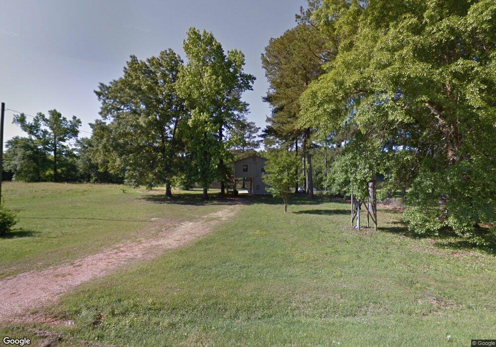
2805 Spurlock Rd Columbus, MS 39702
Estimated Value: $146,956 - $219,000
Studio
--
Bath
1,314
Sq Ft
$130/Sq Ft
Est. Value
About This Home
This home is located at 2805 Spurlock Rd, Columbus, MS 39702 and is currently estimated at $170,989, approximately $130 per square foot. 2805 Spurlock Rd is a home.
Ownership History
Date
Name
Owned For
Owner Type
Purchase Details
Closed on
Jan 28, 2026
Sold by
Gray Stanley R and Gray Debby H
Bought by
Conn Melvin S and Conn Lorri
Current Estimated Value
Purchase Details
Closed on
Apr 20, 2020
Sold by
Lewis Stephen and Lewis Brandy
Bought by
Gray Stanley R and Gray Debra H
Home Financials for this Owner
Home Financials are based on the most recent Mortgage that was taken out on this home.
Original Mortgage
$122,324
Interest Rate
3.6%
Mortgage Type
New Conventional
Purchase Details
Closed on
Sep 21, 2011
Sold by
Lumsden Jeremy and Andrews Mary D
Bought by
Lewis Stephen and Lewis Brandy
Create a Home Valuation Report for This Property
The Home Valuation Report is an in-depth analysis detailing your home's value as well as a comparison with similar homes in the area
Purchase History
| Date | Buyer | Sale Price | Title Company |
|---|---|---|---|
| Conn Melvin S | -- | None Listed On Document | |
| Gray Stanley R | -- | None Available | |
| Lewis Stephen | -- | -- |
Source: Public Records
Mortgage History
| Date | Status | Borrower | Loan Amount |
|---|---|---|---|
| Previous Owner | Lewis Stephen | $122,324 |
Source: Public Records
Tax History
| Year | Tax Paid | Tax Assessment Tax Assessment Total Assessment is a certain percentage of the fair market value that is determined by local assessors to be the total taxable value of land and additions on the property. | Land | Improvement |
|---|---|---|---|---|
| 2025 | $1,252 | $12,798 | $0 | $0 |
| 2024 | $1,242 | $12,798 | $0 | $0 |
| 2023 | $1,141 | $11,808 | $0 | $0 |
| 2022 | $1,142 | $11,808 | $0 | $0 |
| 2021 | $1,100 | $11,808 | $0 | $0 |
| 2020 | $1,039 | $11,808 | $0 | $0 |
| 2019 | $1,211 | $11,694 | $0 | $0 |
| 2018 | $1,211 | $13,347 | $0 | $0 |
| 2017 | $0 | $13,347 | $0 | $0 |
| 2016 | $1,157 | $13,347 | $0 | $0 |
| 2015 | -- | $9,893 | $0 | $0 |
| 2014 | -- | $9,893 | $0 | $0 |
Source: Public Records
Map
Nearby Homes
- 00 Spurlock Rd
- 0 Riverside Dr
- 706 Sobley Camp Rd
- 0 Spurlock Rd
- 9385 Nashville Ferry Rd E
- 969 Porter Rd
- 2077 Pumpkin Creek Rd
- 2094 Pumpkin Creek Rd
- 800 Hairston Bend Rd
- 1090 Valley Grain Rd
- 165 Cypress Lake Dr
- 0 E Minnie Vaughn Rd
- 3400 Pine Grove Rd
- 1553 Hildreth Rd
- 521 Rivermont Cir
- 611 Thornton Dr
- 415 Rivermont Cir
- 0 Humming Bird Dr
- 0 Golding Cir
- 231 Pinecrest Ln
Your Personal Tour Guide
Ask me questions while you tour the home.