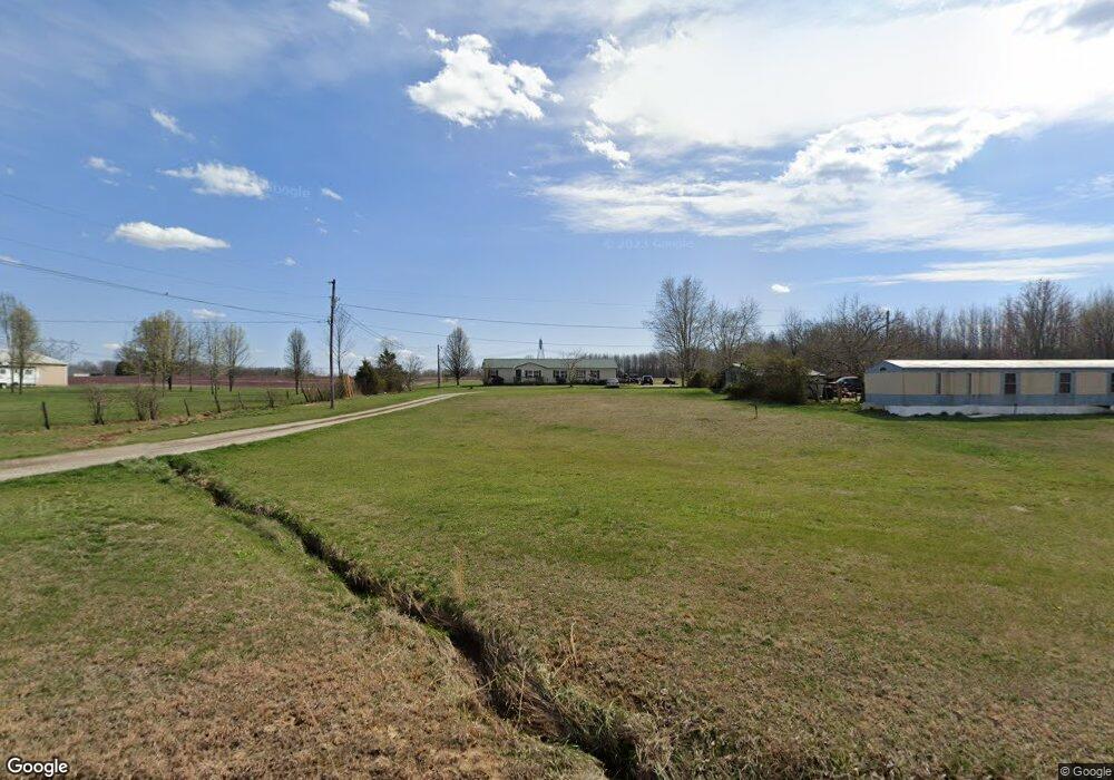
2806 E Burn Rd Austin, IN 47102
Estimated Value: $216,257 - $314,000
4
Beds
2
Baths
2,052
Sq Ft
$126/Sq Ft
Est. Value
About This Home
This home is located at 2806 E Burn Rd, Austin, IN 47102 and is currently estimated at $258,814, approximately $126 per square foot. 2806 E Burn Rd is a home.
Ownership History
Date
Name
Owned For
Owner Type
Purchase Details
Closed on
Jun 24, 2024
Sold by
Hardgrove Mary E
Bought by
Castillo Norval Michael
Current Estimated Value
Purchase Details
Closed on
Oct 15, 2019
Sold by
Castillo Norval Michael
Bought by
Cooper Kelly and Castillo Kelly
Purchase Details
Closed on
Oct 6, 2014
Sold by
Centra Cu
Bought by
Hardgrove Gary A and Hardgrove Mary E
Purchase Details
Closed on
Apr 1, 2014
Sold by
Hall Clarence D and Hall Clarence Dale
Bought by
Centra Cu
Purchase Details
Closed on
Nov 10, 2006
Sold by
Hall Heather and Caldwell Heather
Bought by
Hall Clarence Dale
Home Financials for this Owner
Home Financials are based on the most recent Mortgage that was taken out on this home.
Original Mortgage
$109,250
Interest Rate
6.12%
Mortgage Type
Adjustable Rate Mortgage/ARM
Create a Home Valuation Report for This Property
The Home Valuation Report is an in-depth analysis detailing your home's value as well as a comparison with similar homes in the area
Purchase History
| Date | Buyer | Sale Price | Title Company |
|---|---|---|---|
| Castillo Norval Michael | $90,000 | Cfs Title Llc | |
| Cooper Kelly | -- | None Available | |
| Hardgrove Gary A | -- | None Available | |
| Centra Cu | $58,320 | None Available | |
| Hall Clarence Dale | -- | None Available |
Source: Public Records
Mortgage History
| Date | Status | Borrower | Loan Amount |
|---|---|---|---|
| Previous Owner | Hall Clarence Dale | $109,250 |
Source: Public Records
Tax History
| Year | Tax Paid | Tax Assessment Tax Assessment Total Assessment is a certain percentage of the fair market value that is determined by local assessors to be the total taxable value of land and additions on the property. | Land | Improvement |
|---|---|---|---|---|
| 2025 | $857 | $143,800 | $22,200 | $121,600 |
| 2024 | $857 | $120,500 | $22,200 | $98,300 |
| 2023 | $882 | $125,500 | $22,200 | $103,300 |
| 2022 | $820 | $118,700 | $22,200 | $96,500 |
| 2021 | $539 | $91,200 | $22,200 | $69,000 |
| 2020 | $529 | $91,300 | $22,200 | $69,100 |
| 2019 | $536 | $91,900 | $22,200 | $69,700 |
| 2018 | $482 | $87,000 | $17,200 | $69,800 |
| 2017 | $382 | $76,300 | $17,200 | $59,100 |
| 2016 | $378 | $76,200 | $17,200 | $59,000 |
| 2014 | $326 | $62,300 | $17,200 | $45,100 |
| 2013 | $326 | $62,300 | $17,200 | $45,100 |
Source: Public Records
Map
Nearby Homes
- 3183 New Frankfort Rd
- 2880 N Keyway
- 5449 N Terry Rd
- 4604 N Bogardus Rd
- 5672 N Terry Rd
- 1317 E Cutshall Rd
- TBD Kent Indiana 256
- 4267 Kent Indiana 256
- 0 Kent Indiana 256
- 329 E Cutshall Rd
- 92 Stonybrook Dr
- TBD E Oard Spring Rd
- 0 E Oard Spring Rd
- 6897 N Bogardus Rd
- 5187 N Jack Morgan Rd
- Off North Us Unit 31 Highway LotWP001
- 274 Audrey Ln
- 1514 Skyline Dr
- 244 Audrey Ln
- 334 Audrey Ln
- 2738 E Burn Rd
- 2940 E Burn Rd
- 2958 E Burn Rd
- 2659 E Burn Rd
- 2662 E Burn Rd
- 3975 N Whitsett Rd
- 3951 N Whitsett Rd
- 3869 N Whitsitt Rd
- 3869 N Whitsett Rd
- 3787 N Whitsett Rd
- 3920 N Whitsett Rd
- 3860 N Hickory Hills Ln
- 3026 E Burn Rd
- 3872 N Whitsett Rd
- 3828 N Hickory Hills Ln
- 4020 N Whitsett Rd
- 4020 N Whitsitt Rd
- 3926 N Hickory Hills Ln
- 4079 N Whitsett Rd
- 3775 N Whitsett Rd
Your Personal Tour Guide
Ask me questions while you tour the home.