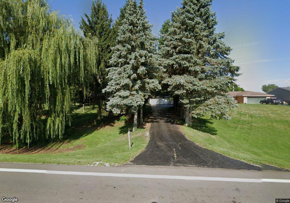
2806 S State Route 231 Tiffin, OH 44883
Estimated Value: $268,820 - $316,000
3
Beds
2
Baths
1,860
Sq Ft
$154/Sq Ft
Est. Value
About This Home
This home is located at 2806 S State Route 231, Tiffin, OH 44883 and is currently estimated at $286,455, approximately $154 per square foot. 2806 S State Route 231 is a home located in Seneca County with nearby schools including Columbian High School, Bridges Community Academy, and Calvert High School.
Ownership History
Date
Name
Owned For
Owner Type
Purchase Details
Closed on
Jan 10, 2006
Sold by
Brickner David B and Brickner Suzanne
Bought by
Mcdannell Ronald H and Mcdannell Dorothy J
Current Estimated Value
Home Financials for this Owner
Home Financials are based on the most recent Mortgage that was taken out on this home.
Original Mortgage
$150,000
Interest Rate
6.21%
Mortgage Type
Adjustable Rate Mortgage/ARM
Purchase Details
Closed on
Jan 21, 2005
Sold by
Brickner David B
Bought by
Brickner David B and Brickner Suzanne
Purchase Details
Closed on
Jun 19, 2003
Sold by
Brickner Christine M T and Brickner O
Bought by
Brickner Christine M Le
Purchase Details
Closed on
Oct 18, 2000
Bought by
Brickner Christine M
Purchase Details
Closed on
Mar 8, 2000
Sold by
Brickner Christine M
Bought by
Bricks Limited The
Create a Home Valuation Report for This Property
The Home Valuation Report is an in-depth analysis detailing your home's value as well as a comparison with similar homes in the area
Home Values in the Area
Average Home Value in this Area
Purchase History
| Date | Buyer | Sale Price | Title Company |
|---|---|---|---|
| Mcdannell Ronald H | $147,000 | None Available | |
| Brickner David B | -- | None Available | |
| Brickner Christine M Le | -- | -- | |
| Brickner Christine M | -- | -- | |
| Bricks Limited The | -- | -- |
Source: Public Records
Mortgage History
| Date | Status | Borrower | Loan Amount |
|---|---|---|---|
| Closed | Mcdannell Ronald H | $150,000 |
Source: Public Records
Tax History Compared to Growth
Tax History
| Year | Tax Paid | Tax Assessment Tax Assessment Total Assessment is a certain percentage of the fair market value that is determined by local assessors to be the total taxable value of land and additions on the property. | Land | Improvement |
|---|---|---|---|---|
| 2024 | $1,907 | $66,360 | $14,980 | $51,380 |
| 2023 | $1,908 | $66,360 | $14,980 | $51,380 |
| 2022 | $1,831 | $54,030 | $13,410 | $40,620 |
| 2021 | $1,844 | $54,030 | $13,410 | $40,620 |
| 2020 | $1,879 | $54,034 | $13,409 | $40,625 |
| 2019 | $1,783 | $50,310 | $12,485 | $37,825 |
| 2018 | $1,787 | $50,310 | $12,485 | $37,825 |
| 2017 | $1,767 | $50,310 | $12,485 | $37,825 |
| 2016 | $1,747 | $49,939 | $12,485 | $37,454 |
| 2015 | $1,727 | $49,939 | $12,485 | $37,454 |
| 2014 | $1,626 | $49,939 | $12,485 | $37,454 |
| 2013 | $1,690 | $49,939 | $12,485 | $37,454 |
Source: Public Records
Map
Nearby Homes
- 125 W Woodmere Dr
- 38 N Tecumseh Trail
- 157 Oakley Meadow Ln
- 43 Siesta Dr
- 2465 S County Road 19
- 378 Lelar St
- 19 Blue Bird Ln
- 137 Hampden Park
- 166 E County Road 16
- 106 Sycamore Woods Ln
- 284 Sycamore St
- 505 S Washington St
- 185 Longfellow Dr
- 50 Gross St
- 2351 S State Route 53
- 426 S Washington St
- 344 Circular St
- 1590 Meadowlake Dr
- 841 S Sandusky St
- 299 Circular St
- 2786 S State Route 231
- 2854 Ohio 231
- 2854 S State Route 231
- 2860 S State Route 231
- 100 W Woodmere Dr
- 2892 Ohio 231
- 2892 S State Route 231
- 0 W Woodmere Dr
- 69 W Woodmere Dr
- 37 Woodmere
- 110 W Woodmere Dr
- 98 W Woodmere Dr
- 180 W Woodmere Dr
- 195 W Woodmere Dr
- 145 W Woodmere Dr
- 250 W Woodmere Dr
- 290 W Woodmere Dr
- 225 W Woodmere Dr
- 315 W Woodmere Dr
- 315 W Woodmere Dr