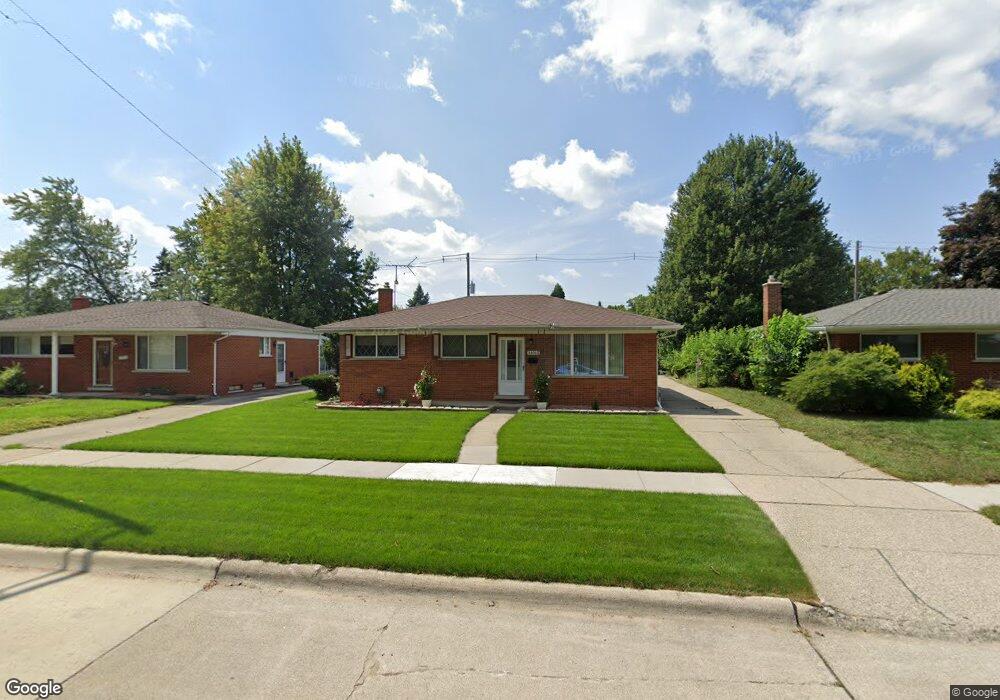
28063 Loretta Ave Warren, MI 48092
Northwest Warren NeighborhoodEstimated Value: $227,120 - $248,000
3
Beds
3
Baths
1,050
Sq Ft
$225/Sq Ft
Est. Value
About This Home
This home is located at 28063 Loretta Ave, Warren, MI 48092 and is currently estimated at $236,280, approximately $225 per square foot. 28063 Loretta Ave is a home located in Macomb County with nearby schools including Lean Elementary School, Beer Middle School, and Warren Mott High School.
Ownership History
Date
Name
Owned For
Owner Type
Purchase Details
Closed on
Jun 13, 2008
Sold by
Pazara Ramo and Pazara Amela
Bought by
National City Real Estate Services Llc
Current Estimated Value
Purchase Details
Closed on
Nov 2, 2004
Sold by
Koeck Alfred J and Koeck Ursula
Bought by
Pazara Ramo and Pazara Amela
Home Financials for this Owner
Home Financials are based on the most recent Mortgage that was taken out on this home.
Original Mortgage
$149,600
Interest Rate
6.12%
Mortgage Type
Purchase Money Mortgage
Create a Home Valuation Report for This Property
The Home Valuation Report is an in-depth analysis detailing your home's value as well as a comparison with similar homes in the area
Home Values in the Area
Average Home Value in this Area
Purchase History
| Date | Buyer | Sale Price | Title Company |
|---|---|---|---|
| National City Real Estate Services Llc | $148,837 | None Available | |
| Pazara Ramo | $157,500 | Title One Inc |
Source: Public Records
Mortgage History
| Date | Status | Borrower | Loan Amount |
|---|---|---|---|
| Previous Owner | Pazara Ramo | $149,600 |
Source: Public Records
Tax History
| Year | Tax Paid | Tax Assessment Tax Assessment Total Assessment is a certain percentage of the fair market value that is determined by local assessors to be the total taxable value of land and additions on the property. | Land | Improvement |
|---|---|---|---|---|
| 2025 | $3,409 | $106,180 | $0 | $0 |
| 2024 | $33 | $95,910 | $0 | $0 |
| 2023 | $3,125 | $85,540 | $0 | $0 |
| 2022 | $3,045 | $76,950 | $0 | $0 |
| 2021 | $2,970 | $72,870 | $0 | $0 |
| 2020 | $2,868 | $66,650 | $0 | $0 |
| 2019 | $2,756 | $58,180 | $0 | $0 |
| 2018 | $2,766 | $52,710 | $0 | $0 |
| 2017 | $2,246 | $45,750 | $10,010 | $35,740 |
| 2016 | $2,244 | $45,750 | $0 | $0 |
| 2015 | -- | $42,070 | $0 | $0 |
| 2013 | $4,222 | $38,700 | $0 | $0 |
Source: Public Records
Map
Nearby Homes
- 4769 Parent Ave
- 27847 Audrey Ave
- 4462 Glenoaks Ct
- 4772 Marian Ave
- 4079 Sudbury Dr
- 27432 Bristol Dr
- 28530 Ryan Rd
- 27400 Milton Ave
- 4926 E 12 Mile Rd
- 27480 Grobbel Dr
- 27233 Audrey Ave
- 4829 Wolgast Dr
- 4878 Wolgast Dr
- 28427 Wexford Dr
- 27365 Ryan Rd
- 5639 Heathdale Ave
- 29229 van Laan Dr
- 29327 Orvylle Dr
- 26780 Crystal Ave
- 26943 Villa Calabrese Unit 2
- 28051 Loretta Ave
- 28115 Loretta Ave
- 28127 Loretta Ave
- 28039 Loretta Ave
- 28062 Cunningham Dr
- 28050 Cunningham Dr
- 28112 Cunningham Dr
- 28112 Cunningham Dr Unit 1
- 28139 Loretta Ave
- 28027 Loretta Ave
- 28124 Cunningham Dr
- 28038 Cunningham Dr
- 28064 Loretta Ave
- 28114 Loretta Ave
- 28136 Cunningham Dr
- 28026 Cunningham Dr
- 28126 Loretta Ave
- 28040 Loretta Ave
- 28151 Loretta Ave
- 28138 Loretta Ave
Your Personal Tour Guide
Ask me questions while you tour the home.