2807 Adair Trail Dacula, GA 30019
Estimated Value: $446,322 - $460,000
3
Beds
3
Baths
2,298
Sq Ft
$197/Sq Ft
Est. Value
About This Home
This home is located at 2807 Adair Trail, Dacula, GA 30019 and is currently estimated at $452,831, approximately $197 per square foot. 2807 Adair Trail is a home located in Gwinnett County with nearby schools including Fort Daniel Elementary School, Frank N. Osborne Middle School, and Mill Creek High School.
Ownership History
Date
Name
Owned For
Owner Type
Purchase Details
Closed on
Oct 4, 2023
Sold by
Katke Robert C
Bought by
Katke Robert C
Current Estimated Value
Purchase Details
Closed on
May 1, 2000
Sold by
Bobo Alan W and Bobo Stacy T
Bought by
Katke Robert C and Katke Karen A
Home Financials for this Owner
Home Financials are based on the most recent Mortgage that was taken out on this home.
Original Mortgage
$136,500
Interest Rate
8.23%
Mortgage Type
FHA
Purchase Details
Closed on
Oct 1, 1998
Sold by
The Ryland Group Inc
Bought by
Bobo Alan W and Bobo Stacy T
Home Financials for this Owner
Home Financials are based on the most recent Mortgage that was taken out on this home.
Original Mortgage
$175,350
Interest Rate
6.76%
Mortgage Type
New Conventional
Create a Home Valuation Report for This Property
The Home Valuation Report is an in-depth analysis detailing your home's value as well as a comparison with similar homes in the area
Home Values in the Area
Average Home Value in this Area
Purchase History
| Date | Buyer | Sale Price | Title Company |
|---|---|---|---|
| Katke Robert C | -- | -- | |
| Katke Robert C | $193,500 | -- | |
| Bobo Alan W | $175,400 | -- |
Source: Public Records
Mortgage History
| Date | Status | Borrower | Loan Amount |
|---|---|---|---|
| Previous Owner | Katke Robert C | $136,500 | |
| Previous Owner | Bobo Alan W | $175,350 |
Source: Public Records
Tax History Compared to Growth
Tax History
| Year | Tax Paid | Tax Assessment Tax Assessment Total Assessment is a certain percentage of the fair market value that is determined by local assessors to be the total taxable value of land and additions on the property. | Land | Improvement |
|---|---|---|---|---|
| 2025 | $1,168 | $196,240 | $44,000 | $152,240 |
| 2024 | $1,167 | $179,600 | $31,600 | $148,000 |
| 2023 | $1,167 | $173,680 | $31,600 | $142,080 |
| 2022 | $1,121 | $155,600 | $31,600 | $124,000 |
| 2021 | $1,105 | $120,680 | $24,400 | $96,280 |
| 2020 | $1,103 | $113,280 | $21,440 | $91,840 |
| 2019 | $1,020 | $102,640 | $20,400 | $82,240 |
| 2018 | $1,002 | $102,640 | $20,400 | $82,240 |
| 2016 | $1,040 | $88,560 | $16,800 | $71,760 |
| 2015 | $1,062 | $84,840 | $18,000 | $66,840 |
| 2014 | $1,075 | $80,840 | $18,000 | $62,840 |
Source: Public Records
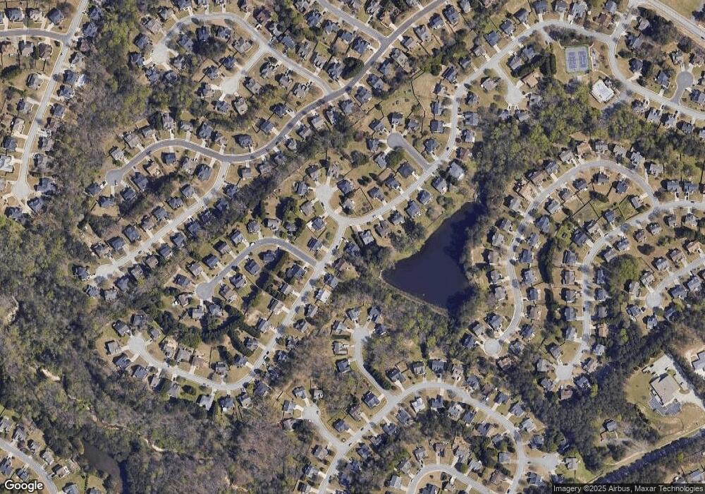
Map
Nearby Homes
- 2717 High Creek Run Unit 1
- 2747 High Creek Run
- 1400 Wilkes Crest Dr
- 2687 High Creek Run
- 1521 Rocky Knoll Ln
- 2628 Adair Trail
- 2848 Belfaire Lake Dr
- 2674 Rocky Knoll Ct
- 1618 Rocky Knoll Ln
- 2765 Daniel Park Run Unit 3
- 1356 Belfaire Trace
- 2875 Old Fountain Rd
- 1758 Auburn Ridge Way
- 1505 Heatherton Rd Unit 4
- 2706 Captain Ct
- 1375 Auburn Rd
- 1365 Auburn Rd
- 2855 Belshire Trail
- 2797 Adair Trail
- 2865 Belshire Trail
- 2787 Adair Trail
- 2835 Belshire Trail
- 2798 Adair Trail
- 2890 Belshire Trail
- 2840 Belshire Trail
- 1446 Carson Ive Dr
- 2875 Belshire Trail
- 0 Fairdale Ct Unit 8151084
- 2777 Adair Trail
- 2870 Belshire Trail
- 1447 Carson Ive Dr
- 1404 Adair Hill Ct
- 2825 Belshire Trail
- 2820 Belshire Trail
- 1411 Adair Hill Ct
- 2885 Belshire Trail
- 2767 Adair Trail