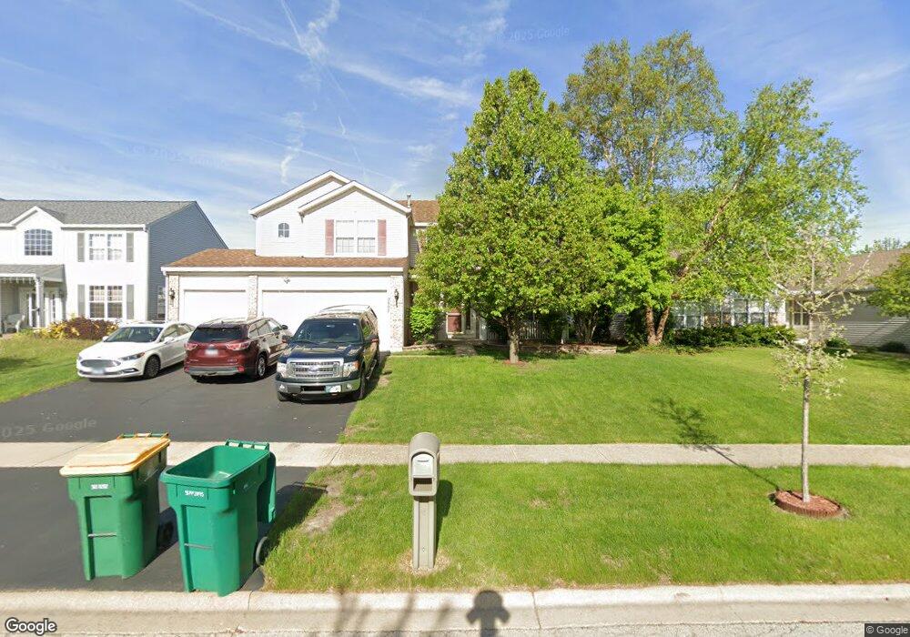
2807 Adobe Dr Plainfield, IL 60586
Fall Creek NeighborhoodEstimated Value: $410,000 - $432,000
4
Beds
3
Baths
2,278
Sq Ft
$184/Sq Ft
Est. Value
About This Home
This home is located at 2807 Adobe Dr, Plainfield, IL 60586 and is currently estimated at $419,262, approximately $184 per square foot. 2807 Adobe Dr is a home located in Will County with nearby schools including Meadow View Elementary School, Aux Sable Middle School, and Plainfield South High School.
Ownership History
Date
Name
Owned For
Owner Type
Purchase Details
Closed on
Sep 26, 2003
Sold by
Montalbano Builders Inc
Bought by
Kidd Robert J and Kidd Amy S
Current Estimated Value
Home Financials for this Owner
Home Financials are based on the most recent Mortgage that was taken out on this home.
Original Mortgage
$242,823
Outstanding Balance
$115,487
Interest Rate
6.49%
Mortgage Type
Purchase Money Mortgage
Estimated Equity
$303,775
Create a Home Valuation Report for This Property
The Home Valuation Report is an in-depth analysis detailing your home's value as well as a comparison with similar homes in the area
Home Values in the Area
Average Home Value in this Area
Purchase History
| Date | Buyer | Sale Price | Title Company |
|---|---|---|---|
| Kidd Robert J | $256,000 | Chicago Title Insurance Co |
Source: Public Records
Mortgage History
| Date | Status | Borrower | Loan Amount |
|---|---|---|---|
| Open | Kidd Robert J | $242,823 |
Source: Public Records
Tax History
| Year | Tax Paid | Tax Assessment Tax Assessment Total Assessment is a certain percentage of the fair market value that is determined by local assessors to be the total taxable value of land and additions on the property. | Land | Improvement |
|---|---|---|---|---|
| 2024 | $8,546 | $127,000 | $24,935 | $102,065 |
| 2023 | $8,546 | $114,704 | $22,521 | $92,183 |
| 2022 | $7,619 | $103,020 | $20,227 | $82,793 |
| 2021 | $7,226 | $96,281 | $18,904 | $77,377 |
| 2020 | $7,118 | $93,550 | $18,368 | $75,182 |
| 2019 | $6,871 | $89,138 | $17,502 | $71,636 |
| 2018 | $6,578 | $83,750 | $16,444 | $67,306 |
| 2017 | $6,383 | $79,588 | $15,627 | $63,961 |
| 2016 | $6,255 | $75,906 | $14,904 | $61,002 |
| 2015 | $5,923 | $71,107 | $13,962 | $57,145 |
| 2014 | $5,923 | $68,596 | $13,469 | $55,127 |
| 2013 | $5,923 | $68,596 | $13,469 | $55,127 |
Source: Public Records
Map
Nearby Homes
- 2813 Joe Adler Dr
- 2707 Cedar Breaks Ct Unit 9
- 6605 Langsford Ln
- 2508 Falls Ct
- 6930 Creekside Dr
- 3007 Art Schultz Dr
- 2509 Ruth Fitzgerald Dr
- 6510 Jack Rogers Ln
- 0001 S State Route 59
- 0002 S State Route 59
- 25446 W Ryan Ln
- 7013 Manchester Dr
- 25424 W Ashton Dr
- 16954 Lucas Dr
- 2126 Ingersoll Ct
- 2302 Covington Ct
- 2224 Ashby Ln
- 2031 Havenhill Dr
- 2017 Lilyana Ln
- 6701 Buchanan Cir
- 2809 Adobe Dr
- 2805 Adobe Dr
- 2806 Discovery Dr Unit 2
- 2811 Adobe Dr Unit 2
- 2803 Adobe Dr
- 2804 Discovery Dr Unit 2
- 2808 Discovery Dr
- 2806 Adobe Dr
- 2802 Discovery Dr
- 2808 Adobe Dr Unit 2
- 2804 Adobe Dr Unit 2
- 2801 Adobe Dr
- 2813 Adobe Dr
- 2810 Adobe Dr Unit 2
- 2802 Adobe Dr
- 2800 Discovery Dr
- 2812 Adobe Dr
- 2715 Adobe Dr
- 2800 Adobe Dr
- 2807 Stonebridge Dr
Your Personal Tour Guide
Ask me questions while you tour the home.